Huge Storm Hits North America’s West Coast
After more than a month as fairly stable, dry condition, a huge storm is hitting North America’s West Coast, unfortunately its so far delivered more rain than snow, but there's hope for more snowfall in coming days.
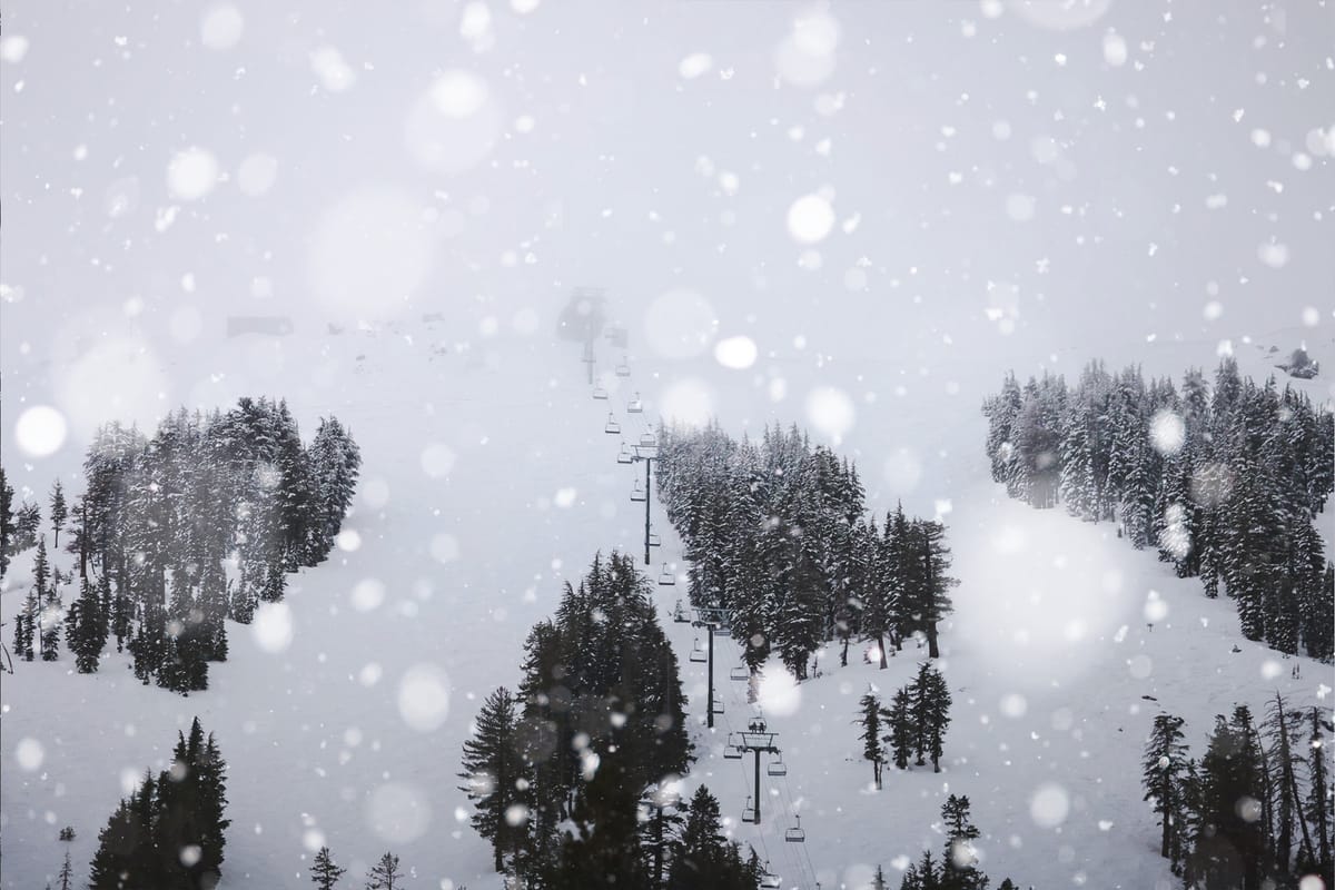
After more than a month as fairly stable, dry condition, a huge storm is hitting North America’s West Coast.
Unfortunately forecasting models midweek last week, that predicted up to 3 feet (90cm) of snowfall a day for successive days for some Californian ski areas over the weekend and potential storm totals of 10 feet/3 metres by today, have not come to pass.
Warmer temperatures than hoped have meant ski areas have instead seen torrential rain on lower slopes from the “pineapple Express” weather system, whilst higher area that have had snow have been blasted by violent gales closing lifts. The combination has largely or completely closed some ski areas.
“The atmospheric river has arrived. Although the storm began with snow this morning, we are expecting mostly rain at our lower elevations throughout the weekend. While our upper mountain is forecasted to accumulate several feet of snow, it will be mostly inaccessible due to high winds impacting our lift operations,” Palisades Tahoe reported on Saturday, following up on Sunday with, “As forecasted, our base areas have been getting rained on all day. Our teams have been battling out there to open as much terrain as is safely possible, but getting above the snow line will continue to be a challenge with ridge gusts exceeding 80mph on our upper mountain.”
Snow totals reported by Californian ski areas over the weekend have therefore been closer to 10 inches than 10 feet.
The possible light at the end of this is that the storm is expected to continue, on and off, through the coming week and may deliver more stable, snowy conditions by next weekend.
Ski areas in the Pacific Northwest, particularly north of the border in BC, have done slightly better posting up to half-a-metre (20”) of snowfall so far.