Scotland struggles as warm spell forces ski centre to close for the season
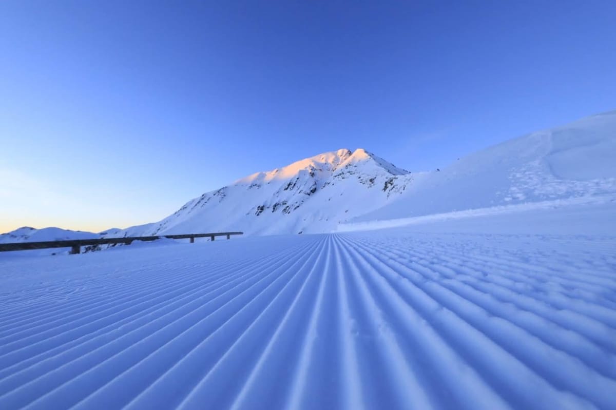
Updated March 12, 2025: Fresh snowfall blankets the Alps, Pyrenees, and Scandinavia, with up to 40cm (16") in some areas! Unsettled weather continues—rain, sleet, and sunshine mix. Read more here.
- Fresh snow returns as Alps, Pyrenees, and Scandinavia see welcome powder top-ups
- Wild weather mix with snow, rain, and spring thaws shaking up European slopes
- Swiss and Italian resorts expect daily snowfall, creating ideal mid-March conditions
- Avalanche risk rises in the Pyrenees after heavy snowfall
EUROPE OVERVIEW
The dry weather that ended February and led to sunshine dominating the first week of March for much of Western Europe has finally broken down, with more unsettled conditions moving in across most of the continent. This has meant periods of snowfall since the weekend. However, with the freezing point still moving up from the valley floor to the mountain tops through the day and valley temperatures still reaching +10C or higher in the afternoons in some cases, it has also meant periods of rain and sleet at lower elevations. There's also been almost every other type of weather thrown into the mix, with some strong winds, dry spells, and long periods of sunshine between showers. Away from the Alps, snowy conditions have continued in the Pyrenees, and there's been an increase in snowfall in Scandinavia. It has been very warm in Bulgaria and Scotland, the latter seeing colder weather now, but that's too late for one centre there, which has announced that its 24-25 season is over.
AUSTRIA REPORT
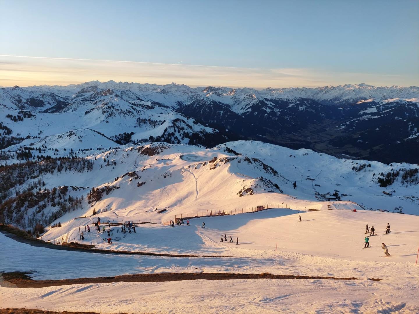
Austria was due to get some decent snowfall to start the week. However, although conditions have become much more unsettled, the heavier snowfall has been mostly further west and south, with lighter precipitation sometimes falling as rain and sleet on Austrian slopes. That said, some of the country’s higher slopes have seen some decent accumulations this week and the big picture is that most areas remain at least 80% open with some including Kitzbuhel (60/80cm / 24/32”) still 100% open.
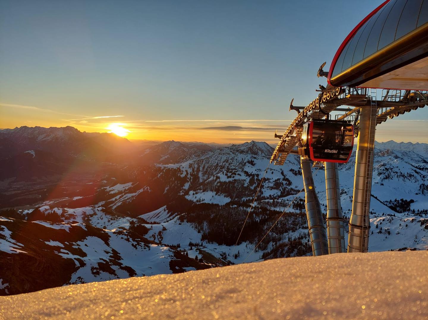
AUSTRIA FORECAST
A mix of sunny spells, cloud, sleet and snow showers are due for the remainder of this week, with temperatures remaining in the -3 to +12C range, and the daytime freezing point typically up around 2500m. So the thaw will continue but more slowly on higher slopes, which will also see 5-10-cm (2-4 inch) top-ups.
FRANCE REPORT
After a dry fortnight, snowfall returned to the French Alps at the weekend with Avoriaz (150/340cm / 60/136”) and neighbouring Morzine (35/130cm / 14/52”) among the areas posting the first reported falls with 10cm (4”) and 20cm (8”) respectively in the initial 24 hours. Since then though the snowfall has become more widespread albeit without anything particularly spectacular in most areas. We’re talking 5-10cm (2-4”) accumulations daily for most areas, the more consistent snowfall on higher terrain, naturally enough, with rain and sleet at times on lower slopes as the freezing point moves up between 1,000 and 2,500m.
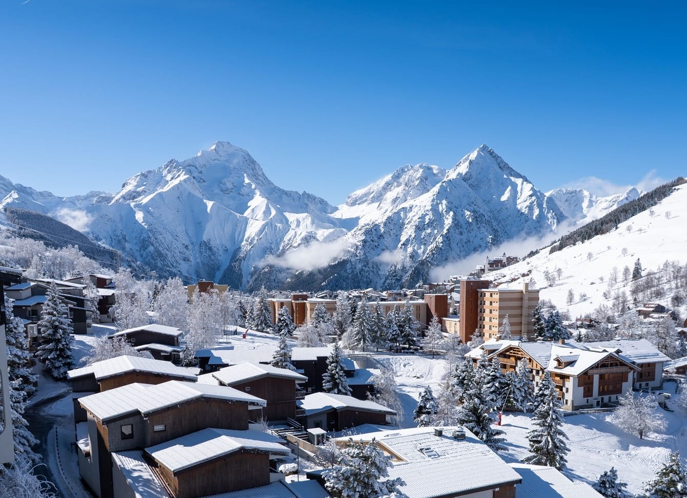
FRANCE FORECAST
Light to moderate snow showers will continue through the rest of this week and into the weekend, particularly at more southerly resorts. 5-15cm (2-6”) accumulations are expected daily. However, there will be dry, sunny spells between showers, more prolonged in the northern French Alps.
ITALY REPORT
A much more unsettled week of weather in Italy too with snowfall reported most days since the weekend across most of the country’s slopes. Again falls have not been huge, mostly in the 5-10cm (2-4”) bracket over 24 hours, but they have brought a good refresh to cover. Again there's a wide range of temperatures through the 24-hour cycle to note too, with overnight lows on higher slopes still hitting -10C, but in valleys, we're still getting to +10C despite the more wintery weather, so we do have the springtime norm in Italy too of best conditions up high with rain and sleet at times down at the mountain base. The Via Lattea (70/170cm / 28/68”) including the skiing of Sestriere, Sauze d’Oulx, San Sicario, Claviere and Montgenèvre over the border has the most terrain open in the country with about 80% of its 400km (250 miles) of runs still skiable.
ITALY FORECAST
The snowfall will continue in the western side of the country through to the weekend meaning some resorts will have had over half a metre of fresh snow this week. It will be getting drier on the eastern side with more sunshine breaking through. Temperatures will continue to range from around -10 to -10C so the freeze-thaw cycle will continue on all but the highest slopes.
SWITZERLAND REPORT
Swiss ski centres have had unsettled weather since the weekend too, after sharing in the non-stop sunshine last week. There have been some snowfalls, heaviest in the south and east of the country, but most have been fairly light with accumulations mostly just 5-10cm (2-4 inches) each day, rain and sleet at times on lower slopes as afternoon temperatures have hit +12c at low elevations. Saas Fee (61/255cm / 24/102”) posted one of the biggest accumulations in the country with 30cm (12”) in 48 hours to start the week.
SWITZERLAND FORECAST
It looks like there’s a lot of snow for the week ahead across Switzerland with most resorts expected to see 5-15cm (2-6”) accumulations most days into next week. Temperatures dropping a few degrees too so down as low as p-15C at 3000m altitudes overnight.
PYRENEES REPORT
The Pyrenees have continued to report light to moderate snowfalls over the past week, continuing the trend that saw snow continuing to arrive here when other parts of Europe were dry and sunny. However, most of the falls have been light and the warm spring temperatures in valleys have not made much difference to base depths or open terrain, especially since sometimes it’s been rain and sleet at lower altitudes. But the regular refresh is welcome of course and some falls in recent days were heavier, with Formigal reporting a 40cm (16”) accumulation on Sunday. The deepest snow remains on the French side with Piau Engaly (110/180cm / 44/72”) posting the deepest and being one of the few in the region that’s 100% open. Andorra’s Grandvalira (70/130cm / 28/52”) continues about 80% open with 175km (109 miles) of slopes, the most in the region and the most they’ve had open all season. The extra snowfall has also pushed the avalanche danger up to 3 on the scale to 5, the highest it's been since December.
SCANDINAVIA REPORT
More springlike weather for Scandinavia too, but ski centres in Finland, Norway and Sweden have all reported some decent snowfalls over the past week. With ever longer daylight hours and more terrain open, conditions are pretty good across the region. Norway’s Kvitfjell (75/75cm / 30/30”) was one of the bigger winners posting 20cm (8”) of fresh snowfall between hosting World Cup Alpine ski racing over the past two weekends. Sweden’s largest resort Sälen (30/75cm / 12/30”) posted a 15cm (6”) accumulation and reports it has 90% of its ski area open.
SCANDINAVIA FORECAST
Sunny, but staying mostly subzero in the -2 to -15C range for much of Scandinavia over the week ahead, meaning snow conditions remain among Europe's best. There is snow forecast for the coming week, most days, in the far north where it's colder still.
EASTERN EUROPE REPORT
There’s something of a north/south split in Eastern Europe with conditions similar to the Alps in terms of temperatures, but it is actually remaining drier and sunnier longer up in the northeastern ski nations of Czechia, Poland and Slovakia. However down in Bulgaria and the wider Balkans region the main issue has been some very warm temperatures – creeping up towards +20C at mountain bases which is rapidly impacting snow cover. We’re even seeing +10C at the top of the slopes already. Despite the temperature challenges though, most ski areas in the region, at least the larger destination resorts, still report their slopes 80-90% open.
EASTERN EUROPE FORECAST
Remaining warm and sunny through the weekend in Bulgaria, with more unsettled conditions including snowfall, rain and sleet showers up in the Northeast, with temperatures in the -5 to +8C range.
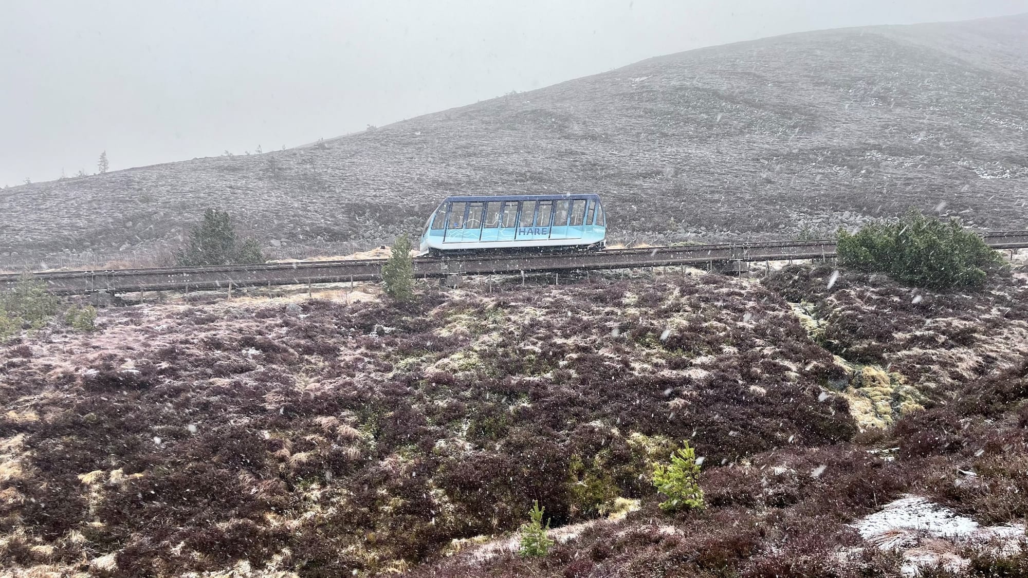
SCOTLAND REPORT
Not the best news from Scottish slopes despite temperatures dropping at the start of the week and snow showers returning to the country's ski slopes. The issue is most of the snow that had been lying had melted so much more is needed to rebuild bases. It was so warm last week in fact that some centres even had to temporarily cease operating their all-weather snow machine-made snow areas. The area of natural snow that was still accessible via the recently reopened funicular at the top of Cairngorm also had to close due to thawing. But Cairngorm, Glencoe and Glenshee are still operating small areas using these machines now that temperatures have dropped again. The Lecht though decided at the weekend that the warm-weather damage to even its all-weather snowmaking machine snow area was so great that the time had come to call it a day on the season and announced it's now closed for skiing until winter 25-26.
SCOTLAND FORECAST
Light snow showers on hilltops with temperatures staying close to freezing but probably not the kind of big base-building dumps that are needed. Turning drier and sunnier through the weekend.


