Europe Weekly Roundup #280
Updated February 12, 2025: Snow returns to the Alps and Pyrenees, with 20-50cm (8-20”) fresh powder! France and Italy thrive as Scandinavia hits record depths—winter’s best yet!
Pyrenees Peak Season: Best Pow of 2024 Sparks Avalanche Alerts
- Alps Snow Resurgence: Southern Peaks Bury Dry Spell in Fresh Powder
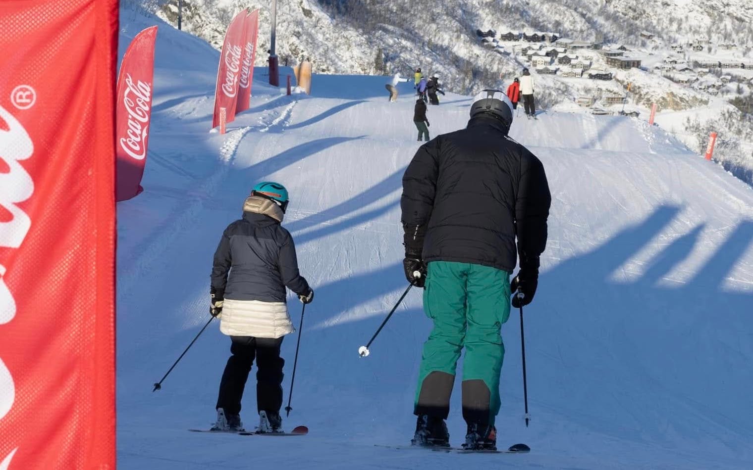
- France Thrives Under Half-Term Rush: 90-100% Slopes Open Post-Snow Surge
- Austria’s World Champs Shine as Snowstorm Looms Over Weekend
- Scandinavia’s Snow Bounty: Myrkdalen Hits 190cm Base, Terrain Expands
EUROPE OVERVIEW
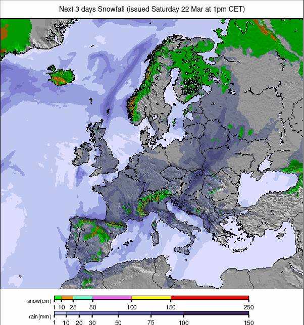
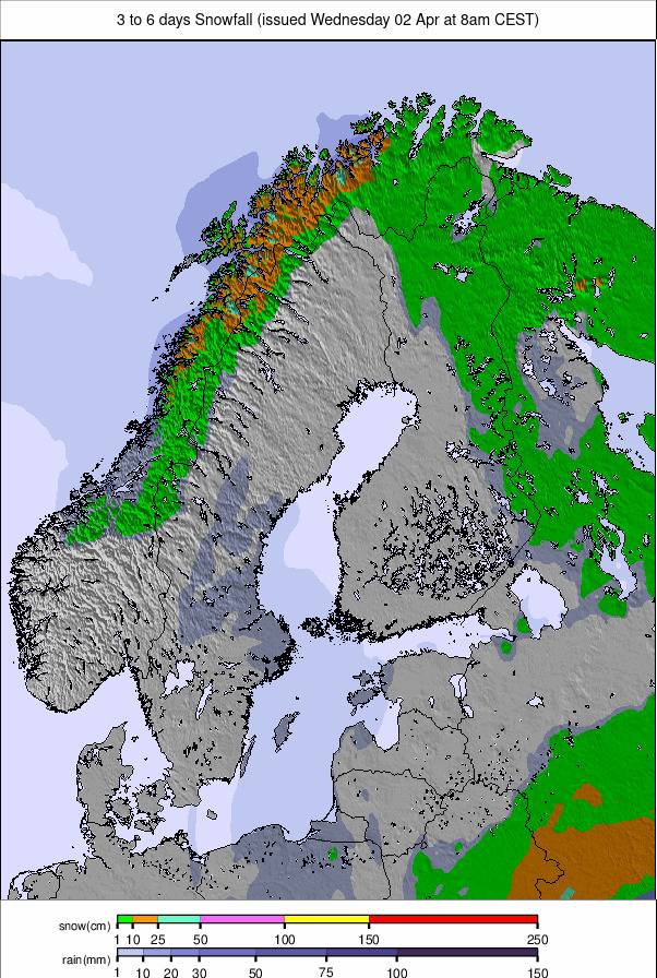
The dry conditions that have dominated the weather in the Alps have begun to break down, with snowfall returning—initially heaviest on the continent's more southerly mountains. That looks set to intensify in many areas over the coming days as we return to more unsettled conditions. In terms of open terrain, the good news is that while the snowpack is at around 75% of the average, most of the continent's ski areas are 90-100% open in terms of marked pistes and operating lifts. The Pyrenees and the wider Iberian Peninsula have had a second good week with plenty more snowfall, delivering the best conditions of the season so far. Scandinavian ski centers have had some fresh snow, and more terrain is opening here as daylight hours increase. Scottish centers have enjoyed a return to colder weather but, unfortunately, need more snowfall to be able to open much.
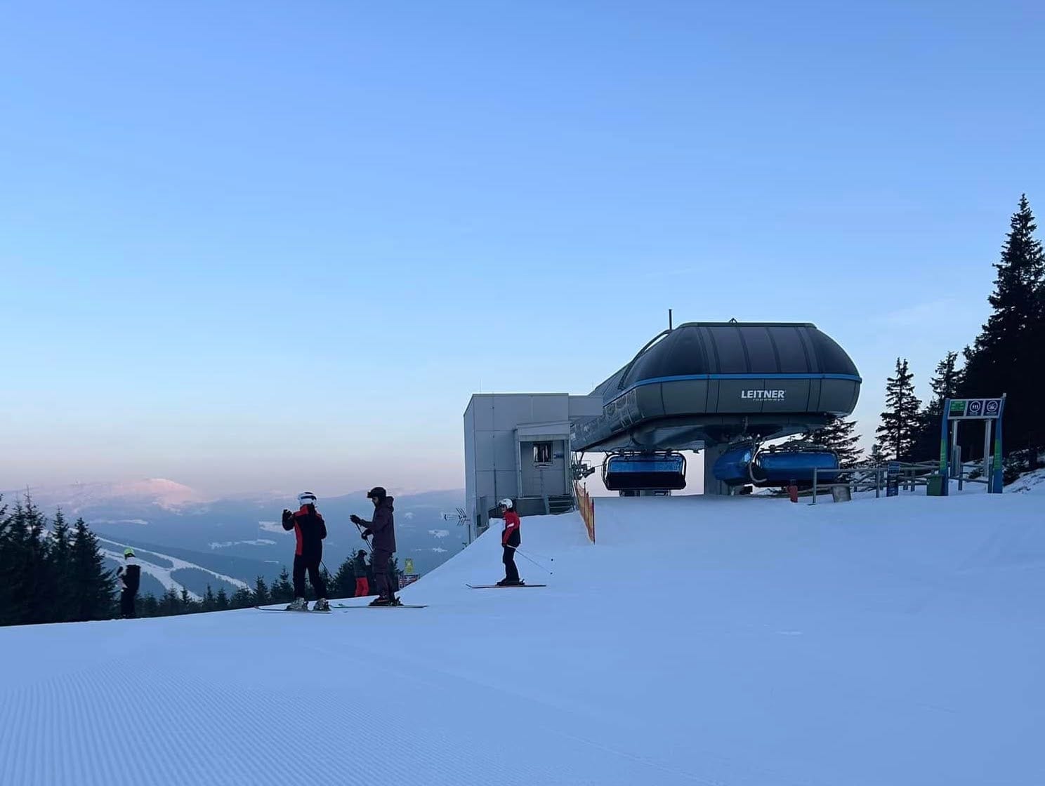
AUSTRIA REPORT
Conditions have been fairly dry across much of Austria for a second week and relatively cool too, with the freezing point typically moving between 750m and 1,500m altitudes. There has, however, been more cloud and fog this week than last, and the odd light snow shower has bubbled up. What hasn't changed is that pretty much every run at most of the country's ski areas remains open, so it’s a positive picture for mid-February. Not that it shouldn't be, nor that depths are that good, especially where you'd expect them to be deeper by now up high, but compared to some recent seasons, it's good news! Austria continues to be the focus of the ski racing world with the second week of the bi-annual FIS Alpine Skiing World Championships underway at Saalbach-Hinterglemm (50/100cm / 20/40”). Conditions have been close to perfect for ski racing, and the Monday ‘reserve day’ wasn’t needed in the end, with all events going as planned so far.
AUSTRIA FORECAST
It looks like a cold and snowy end to the week for most Austrian ski areas, although snowfalls are not expected to add up to huge totals—mostly in the 20-40cm (8-16") bracket over the next 3-4 days. Pretty low temperatures, with daytime highs in the low single figures above freezing Celsius and overnight lows on higher slopes below -10°C.
FRANCE REPORT
France has entered one of its busiest periods of the ski season with the February school holidays underway. The busiest week, when much of Europe is on school holiday—including the UK, Benelux, and parts of France—is the next fortnight, with quieter but still busy weeks going into March. Fortunately, conditions are excellent after the big snowfalls at the end of January. Following last week's mostly sunny weather, conditions have become a little more unsettled with some cloud, strong winds at altitude, and even some light fresh snowfall, heaviest in the southern Alps. Serre Chevalier (40/118cm / 16/47”) posted about 20cm of fresh snowfall on Monday, the most outside of the French Pyrenees. Overall, French ski areas are running with almost all their slopes open and lifts turning, so they are in the best place they can be to deal with the half-term crowds.
FRANCE FORECAST
Light snowfalls will continue for the next few days but will largely die out by the weekend when clear, sunny conditions are expected, with temperatures in the +2 to -12°C range.
ITALY REPORT
Parts of Italy saw some of the snowiest conditions in the Alps at the weekend and the start of this week, with snowfalls of up to 30cm (a foot) reported on Sunday/Monday. This was mostly on southerly oriented ski slopes in regions including Sondrio, Lombardy, and Trentino, although lighter accumulations were more widespread. Madonna di Campiglio (105/140cm / 42/56”) reported one of the biggest Sunday snowfalls, while Pejo (30/120cm / 12/48”) reported a 20cm (8”) accumulation. It’s been drier since, and most Italian areas are reporting great conditions with all slopes open and all lifts turning.
ITALY FORECAST
Light to moderate snowfall is forecast over the next few days, with cold weather (the freezing point at 0-750m) and sunshine returning from the end of the week and through the weekend.
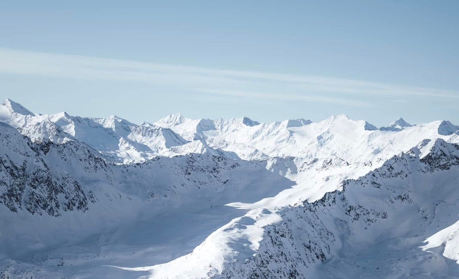
SWITZERLAND REPORT
It has been a largely dry week for Swiss ski areas, but snowfall has been creeping into the south and east of the country as a front moved north this week. St. Moritz (55/105cm / 22/42”) and the Engadin region posted a 20cm (8”) accumulation on Monday, while the Aletsch Arena (90/120cm / 36/48”) reported the country’s greatest snowfall gain in the same period. There has been lighter snowfall—just a few centimeters (an inch) a day since—nothing to get very excited about, but equally a welcome refresh of groomed runs, with temperatures staying cold.
SWITZERLAND FORECAST
Light to moderate snowfalls are expected over the coming 48 hours, which could amount to anything from 5-20cm (2-8") of snowfall by the end of the week. Sunshine and low temperatures for most from Friday, and that weather is expected to continue through the weekend.
PYRENEES REPORT
It’s been another good week in the Pyrenees, which have been enjoying their best conditions of the season to date since the start of February. Snowfall—which was scarce in December and January—has continued to fall heavily, resulting in the most open terrain in the region and the best powder skiing of 2024-25, as well as rising avalanche danger. Big ski regions like Andorra's Grandvalira (60/110cm / 24/44”), including Pas de la Casa and Soldeu, as well as Spain’s Baqueira Beret (50/90cm / 20/36”), are finally at 70-80% open. On the French side of the border, St. Lary (115/125cm / 46/50”) posted 50cm (20”) of snowfall this week and is up to 90% of its terrain skiable.
PYRENEES FORECAST
After some final snow flurries, a few sunny days are forecast, with temperatures rising to a rather unwelcome +10°C or even a little more in valleys, which could undo some of the good base-building work of the past fortnight. Temperatures will drop into the weekend, though, with early signs of more snowfall returning next week.
SCANDINAVIA REPORT
While ski areas in the Alps enjoyed dry and sunny weather last week, Norwegian and Swedish ski areas were posting fresh snowfall. Western Norway continues to see the most, with Voss Fjellandsby (60/120cm / 24/48”) posting a 25cm (10”) snowfall going into the weekend. Nearby, Myrkdalen (95/190cm / 38/76”) has reached the new deepest reported depth in Scandinavia. It’s been mostly dry with plenty of sunshine across Scandinavia as a whole, and the focus has been on opening more terrain, with Sweden’s Åre (45/85cm / 18/34”) leading the way with 90% of its slopes now open.
SCANDINAVIA FORECAST
Predominantly sunny weather is forecast to continue through the remainder of this week and into the weekend. Temperatures will remain very cold, mostly in the -5 to -25°C range, with just the occasional light snowfall—typically just a centimeter or two.
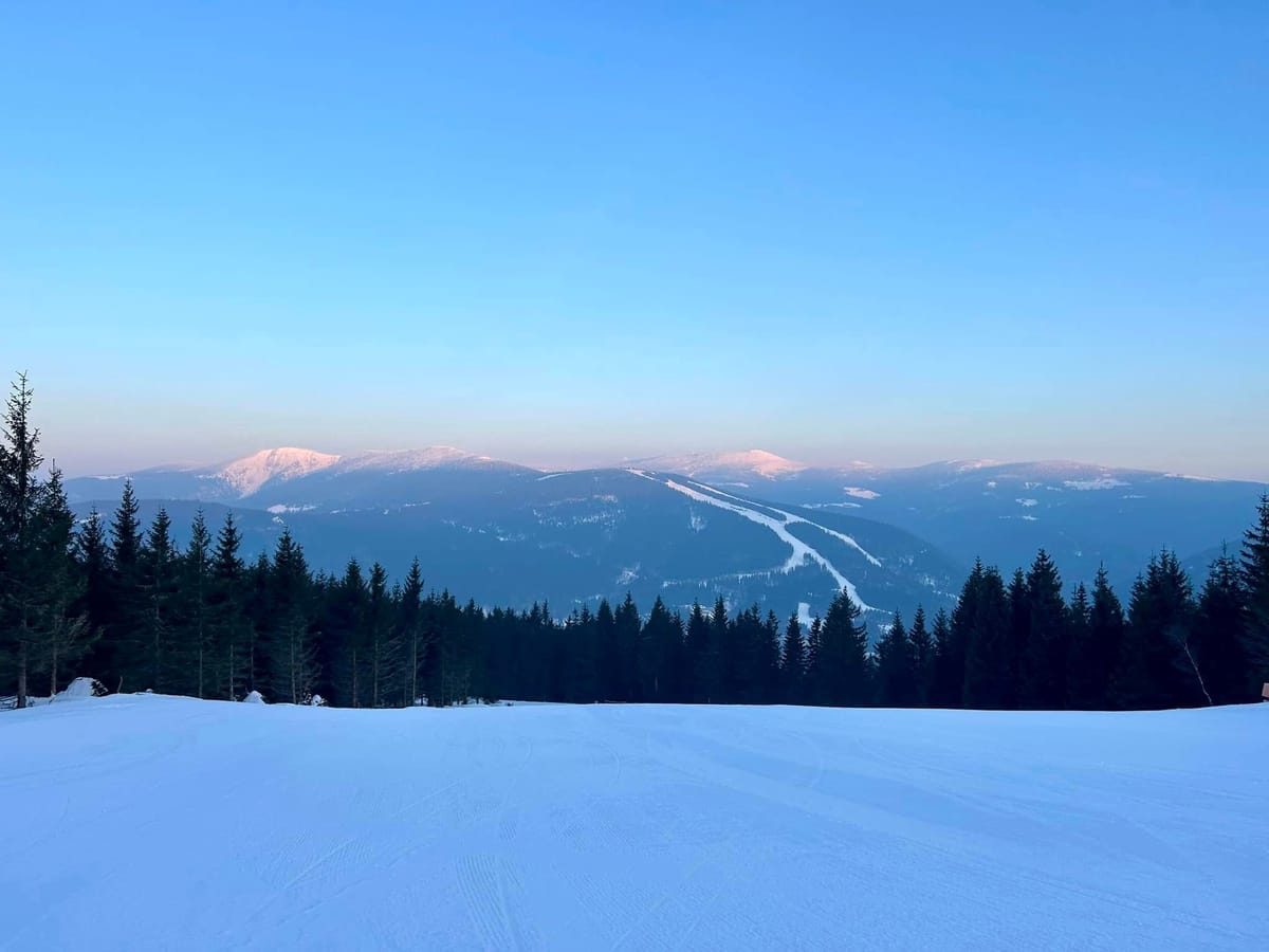
EASTERN EUROPE REPORT
There's been almost constant sunny weather in the Balkans for many weeks now so there's been little change in conditions there in terms of base building. However Bulgarian resorts have posted some very cold temperatures, down in the minus teens Celcius, and Bansko (15/180cm / 6/72”) has been noting that its snowmaking systems have been firing up right down to its base at the end of its famous 10km (7 mile) long home run, to maintain and refresh cover. Up in the north of the region in the Giant and Tatra mountains of the Czech, Poland and Slovak it's been mostly dry too with just occasional light snowfalls reported and spells of low cloud/fog. Temperatures are a little warmer but still pretty good, mostly in the -7 to +4C range.
EASTERN EUROPE FORECAST
A bit of a switcheroo forecast with the Balkans expected to see some snowfall again at last, this coming weekend, whilst more northerly areas are currently expected to return to drier, sunnier conditions than they’ve enjoyed over the past week.
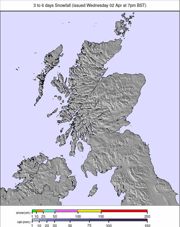
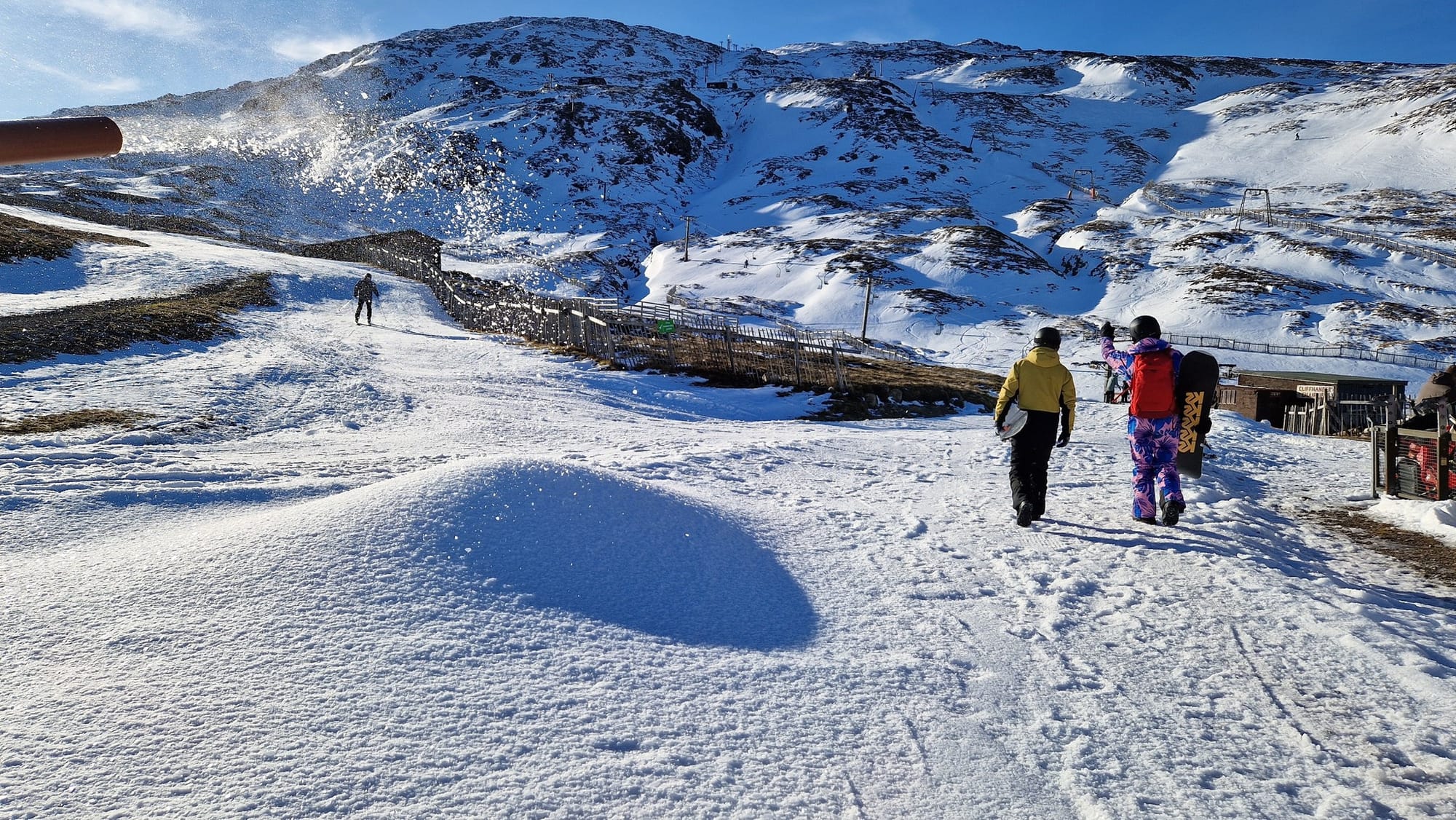
SCOTLAND REPORT
Scottish ski areas have seen some low overnight temperatures over the past week, although daytime highs have been climbing up above freezing too. Conditions have been beautiful much of the time with clear skies, sunshine and (very unusually for Scotland) almost no wind. Unfortunately, there’s little fresh snow on the hills though after the last big thaw at the start of last week and most of the skiing continues to be in the small areas of snow maintained with all-weather snowmaking equipment. Glencoe has had the most on offer, managing to keep additional, natural terrain open with Glenshee managing a few runs too.
SCOTLAND FORECAST
Staying cold but predominantly dry through the weekend. Temperatures in the -8 to +3 range at ski areas. Some light snowfall is expected at times.