Europe Weekly Roundup #277
Updated January 24, 2025: Fresh snow boosts French and Italian Alps, with up to 40cm (16") in the southwest. Scandinavia gets snowy, while sunny conditions dominate elsewhere. Click to read more.
Sunny Skies Dominate Alps as Snowpack Stabilizes Across Europe
- France's Snow Giants Shine: Paradiski Boasts Europe's Deepest Snowpack at 280cm.
- Scandinavia Snow Dumps Return: Myrkdalen Leads with Powder and Subzero Thrills.
- Italy’s Cortina Countdown: Olympic Vibes and Fresh Snow on Alpine Slopes.
- Pyrenees Await Big Snow: Freeride Tour Hits Baqueira Amid Snowmaking Success.
- Alps Stable and Sunlit: Southwest Sees 40cm Snow as Resorts Operate at Full Power.
EUROPE OVERVIEW
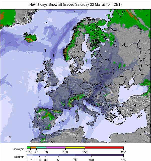
It has been a predominantly dry week in the Alps, with lots of sunshine continuing through last week. The exception has been in the southwestern corner, in France and Italy, where there’s been up to 40cm of snowfall to start the week. Temperatures have also warmed a little but are continuing to get down to -7 or -8C overnight at 1500m altitudes so although daytime highs are reaching +5 to +9 at resort bases, overnight snowmaking has kept things fresh at most areas. Most resorts are working at full operations, with every slope open and every lift turning or close to it. All in all, there's little change from a week ago other than the snowpack has stabilised a good deal from the ups and downs of the first 10 days of the year. Elsewhere it’s a similar story in the Dolomites and the Pyrenees with dry, often sunny weather continuing there too and temperatures, if anything, a degree or two warmer. Eastern Europe hasn’t seen much fresh snowfall either, but here it’s been a few degrees colder than the Alps, on the whole. After last week’s unwelcome spell temperatures have dropped back down in Scotland and Scandinavia though, the latter seeing the best of Europe’s snowfall over the last few days.
AUSTRIA REPORT
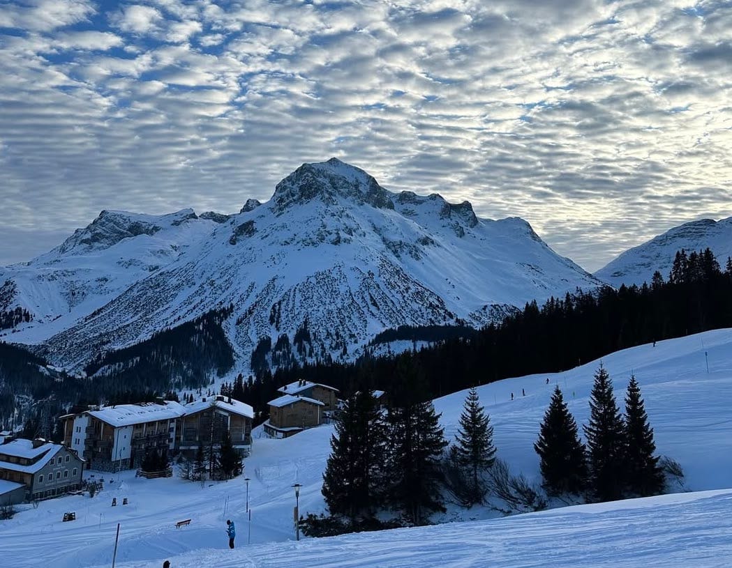
The predominantly sunny weather that had already been dominating Austrian weather for a few days at this point last week has continued through much of the past week, with just the occasional period of cloud and light snowfall. So there’s not a lot different to report. The freezing point has been moving between around 500 and 23000m altitudes so overnight lows have allowed for snowmaking and daytime highs haven’t caused too much thawing. Most Austrian areas remain at 80-100% open. The Arlberg (35/180cm / 14/72”) including St. Anton, Lech, Zürs and Warth/Schröcken continues to post the most with 265km (166 miles) of slopes available, with Saalbach Hinterglemm (50/100cm / 20/40”), Ischgl/Samnaun (40/70cm) and The Skiwelt (80/110cm / 32/44”) all also having more than 200km (125 miles) of slopes open.
AUSTRIA FORECAST
Getting colder again in the latter half of this week with a mixture of sunshine and cloud and some light snowfall. The overnight freezing level drops to 500m altitudes, and in the daytime up towards 1500m.
FRANCE REPORT
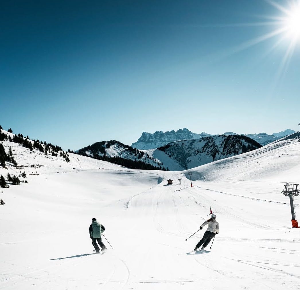
We’re into a second week of pretty much non-stop sunny conditions in most of the French Alps with temperatures remaining fairly cool and overnight lows above 2000m altitudes down below 10C, so snowmaking systems have been firing up even without much fresh natural stuff to report. A weak front has successfully moved into the far south of the French Alps though, bringing up to 40cm (16”) accumulations to resorts like Isola 2000. Conditions, especially on the groomed run, are pretty good with most of France’s huge ski areas at 90-100% open. Most are also reporting upper snow depth at 2 metres or more, topped by Paradiski (70/280cm / 28/112”) incorporating La Plagne and Les Arcs. It's also the deepest snowpack in Europe right now. That said the snow lying on the world's longest run, the Valley Blanche in Chamonix Valley, is reported to have reached 3.6 metres (12 feet). The giant 3 Valleys (Courchevel, Meribel, Les Menuires, Val Thorens and others) and Portes du Soleil (Morzine, Les Gets, Chatel, Avoriaz and others), both report more than 560km (350 miles) of piste open.
FRANCE FORECAST
Increasingly unsettled with a front currently expected to deliver 10-30cm (4-12”) of snowfall on Thursday with colder overnight temperatures and more snowfall later in the week, heavier at the weekend.
ITALY REPORT
Ski racing attention switched to Cortina d’Ampezzo at the weekend, just over a year before the 2026 Olympics in Italy are due to get underway, with the women competing in the Alpine World Cup speed events. As with the rest of Western Europe, conditions were predominantly sunny there through the past week, as indeed they have been almost all of this season. Hence bases are still thin, and most of the snow is machine-made, particularly in the east of the country. However, the southwest has reported snowfall with 72-hour 10-30cm (4-12”) accumulations along the French border. The deepest snow remains in the far west with La Thuile (120/250cm / 48/100”) (linked to La Rosiere in France) posting the deepest snow in Italy. However, the snow is also lying much deeper than this time last year in the Apennines after some big snowfalls there around Christmas. Most Italian areas are 90-100% open with good snow conditions on the groomed runs, not so much off-piste.
ITALY FORECAST
The fairly settled weather is set to continue with predominantly dry weather and just occasional, light snowfall. Temperatures remain close to freezing though with overnight lows permitting more snowmaking most nights. It’s looking more unsettled into the weekend with early signs of more significant snowfall early next week.
SWITZERLAND REPORT
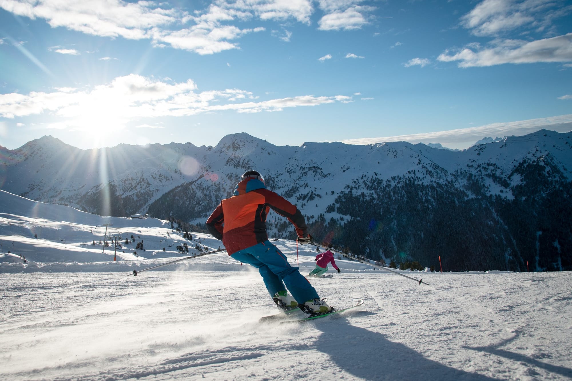
Switzerland has also had a largely dry week with plenty of sunshine up to the start of the weekend, evidenced by Wengen’s first two Lauberhorn races on Friday and Saturday taking place in glorious sunshine, then with more cloud building up since Sunday, as witnessed by the slalom. Most Swiss resorts report great conditions with Saas-Fee (70/235cm / 28/101”) posting the deepest snow cover in the country, and just a foot (30cm) off Europe’s deepest. The 4 Vallées (40/100cm / 16/40") has the most terrain open that's entirely in Switzerland, with over 320km (200 miles) of slopes). Most Swiss Centres are now 85-100% open.
SWITZERLAND FORECAST
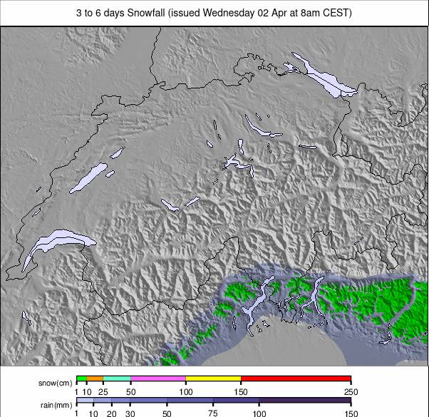
The snowiest weather for the past few weeks is expected in the west of the country over the next few days although accumulations are not expected to be huge, mostly in the 10-20cm (4-8”) bracket, but should give a nice refresh of the pistes and usually some areas exceed expectations. It will be drier into the weekend for most Swiss centres.
PYRENEES REPORT
Mostly sunny, again, but fairly cold weather in the Pyrenees this week, with overnight lows down below freezing to valley floors and getting below -10C on higher slopes. Little or no snowfall, again, for much of the region but those cold temperatures have been good news for snowmakers. Baqueira Beret successfully staged the first round of the 2025 freeride world tour on Friday, albeit on a revised course due to inadequate snow on the preferred route. The region’s largest area, Andorra’s Grandvalira (40/95cm / 16/38”) (Soldeu, Pas de la Casa etc), has about two-thirds of its terrain open still and some centres on the French side have managed to open pretty much everything (Piau Engaly, 65/95cm / 26/38” is at 90%), but some in Spain are still struggling needing more of the natural stuff. Candanchu (30/70cm / 12/28”) over in Aragon hasn’t got above 35% all winter.
PYRENEES FORECAST
Getting a little more unsettled with light snowfall expected for many areas over the next few days with overnight lows remaining cold enough for snowmaking to continue. There are early signs of the long-awaited heavier snowfall early next week, but that’s a bit far off for certainty at this point.
SCANDINAVIA REPORT
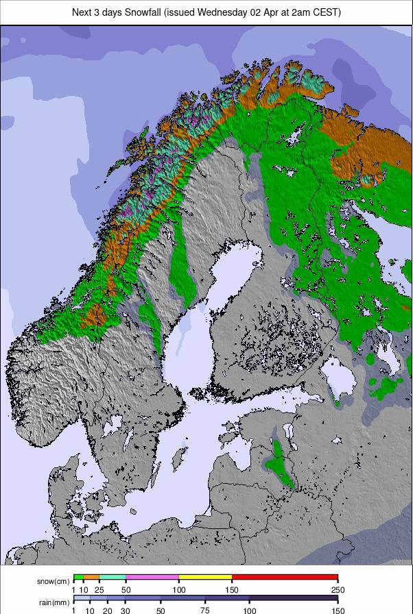
Scandinavian ski centres suffered a bit of a blip last week with resorts seeing temperatures climb as high as +10C, causing some thawing. Where powder had been dumping in the first week of January, resorts like Geilo and Voss saw rain. Fortunately, temperatures have dropped since the start of this week and winter appears to be getting back on track. Snowfall returned at the start of this week at Myrkdalen (50/150cm / 20/60”) on Norway’s west coast which has been posting the deepest snowpack in the region. In terms of the most terrain open, that continues to be at Scandinavia’s largest resort, Sweden’s Åre, which has 66km (41 miles) of runs available at present – about 70% of its full area. Temperatures have stayed cold up in Finland though, the largest resort Levi noted freezing temperatures of -20 to -30°C last week and still -20°C — perfect conditions to keep the snow-making going.
SCANDINAVIA FORECAST
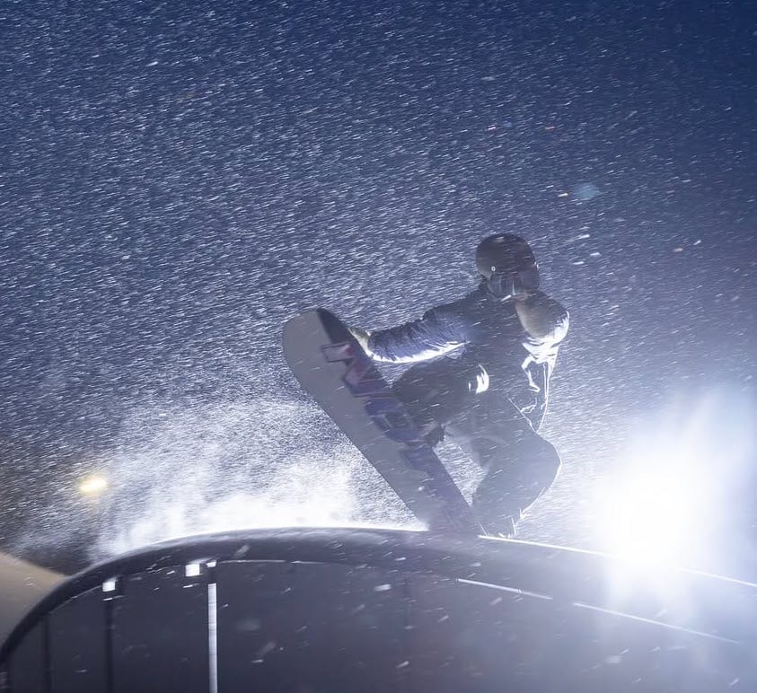
Back to very low temperatures in the -10 to -20C range and one of the snowiest forecasts for Scandinavia, with snow dumping on most areas, most days, and just the occasional dry day in the mix.
EASTERN EUROPE REPORT
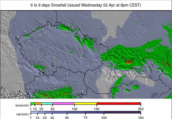
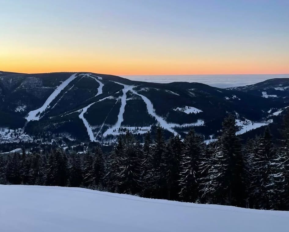
Eastern Europe has continued to deliver some of the most wintery conditions in Europe as the west has been bathed in sunshine. Snowfall kept falling in northerly nations into last weekend including in Czechia, Poland and Slovakia with leading resorts including at the resorts of Veľká Rača (30/50cm / 12/20”), Jasna (40/70cm / 16/28”) and Zaopane (30/50cm / 12/20”) which have all reported increased terrain open and improved snow depth stats. It’s been drier since the weekend though. Down in the Balkans things continue to look good with Bansko (20/185cm / 8/74”) posting its deepest upper base depth in years and reports every run open.
EASTERN EUROPE FORECAST
It is set to remain dry with plenty of sunshine across Eastern Europe from Poland in the north to Bulgaria in the south. Temperatures are largely in the -5 to +5C range. Just the occasional light snowfall in the mix which could fall as rain or sleet on lower slopes at times, unfortunately.
