Europe Weekly Roundup #276
Updated January 15, 2025: Sunshine dominates Europe’s slopes, Austria boasts fresh snow, and Scandinavia sees consistent snowfall. Perfect conditions await snow lovers—read more here.
Fresh Snow, Blue Skies, and Epic Runs: Your Guide to Europe’s Ski Hotspots This Week
- Europe’s Sunny Revival: Hard Surfaces Soften as Snowmaking Resumes Across Alps!
- Scandinavia Shines: Myrkdalen Leads with Deep Snow, Regular Snowfall Ahead.
- Scottish Highlands Freeze to -20°C, But Big Snowfalls Still Elusive.
- Pyrenees Push On: Grandvalira Tops Slopes, Awaits Fresh Snowfall.
- Eastern Europe Thrives: Czechia and Poland Post 100% Open Slopes After Snowfall.
EUROPE OVERVIEW
Sunshine is dominating much of Europe after a problematic week last week, which saw the full weather range – rain, sleet, snow, gales, mountain fog, and the rest – all thrown at Europe’s ski resorts, with a few sunny spells in the mix too. The result of all of the above had been both tricky conditions for skiers and riders, as well as for slope maintenance and safety teams, as the snow surface became hard to manage and the avalanche danger crept from considerable to dangerously high, especially in the west. The return of more stable conditions since the start of this week, though, has allowed things to settle down. The sunny weather has arrived with much lower temperatures down to lower elevations, allowing snowmaking systems to fire up and snow prep to deliver more easily skiable surfaces.
AUSTRIA REPORT
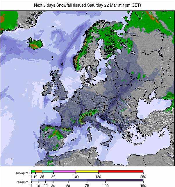
Austria saw temperatures dip a little earlier than ski areas further west and south, with conditions going from rather wet to full freeze with fresh snowfall in time for the start of the weekend. It has had sunny skies, mostly, since then, with Obertauern (50/140cm / 20/56”) one of the last to issue a powder alarm at the weekend. It’s one of the limited number of ski areas in the country posting that they’re 100% open, although most are now 80-95% of the way there. The three giant Austrian regions of the Arlberg (45/180cm / 18/32"), Skiwelt (82/107cm / 33/43”), and Saalbach Hinterglemm (50/100cm / 20/40"), each have close to 240km (150 miles) of slopes open.
AUSTRIA FORECAST
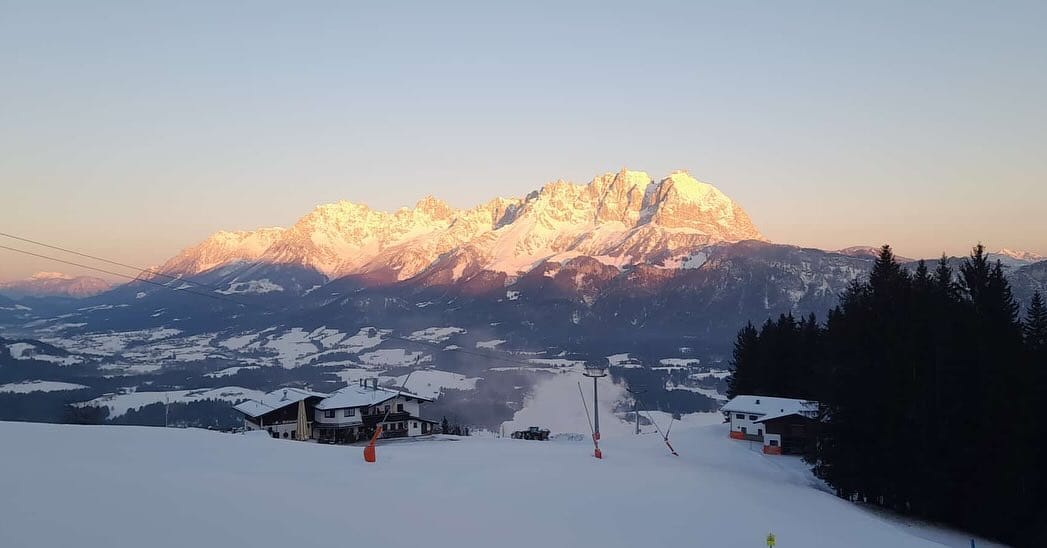
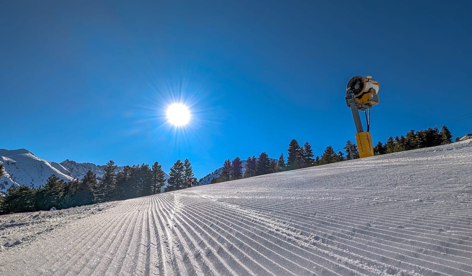
It will be staying sunny for most for much of this week, with just a chance of some light snowfall midweek. Temperatures in the -10 to +5C range should allow snowmaking to resume to lower levels overnight and reduce any thawing.
FRANCE REPORT
French ski areas have had a rather torrid week at times, despite seeing some good snowfalls at the start of last week and lighter falls at the start of this. The issue had been periods of warm weather, which saw rain to very high elevations in the middle of last week, with a result that the piste surfaces were sometimes hard and icy all day, at other times more like a kind of April-thaw stodge. There were also periods of hill fog and strong winds impacting lift operations. This unholy mix has improved since Sunday, though, with temperatures dropping and skies clearing to give sunny conditions and overnight lows allowing snowmaking to resume. Most areas are 80-100% open with good snow depths. Les Arcs/La Plagne (Paradiski (70/265cm / 28/106”) and La Rosiere/La Thuile (130/265cm / 52/106”) are posting the country’s and Europe’s deepest snow, but the stats have been pretty static for a week.
FRANCE FORECAST
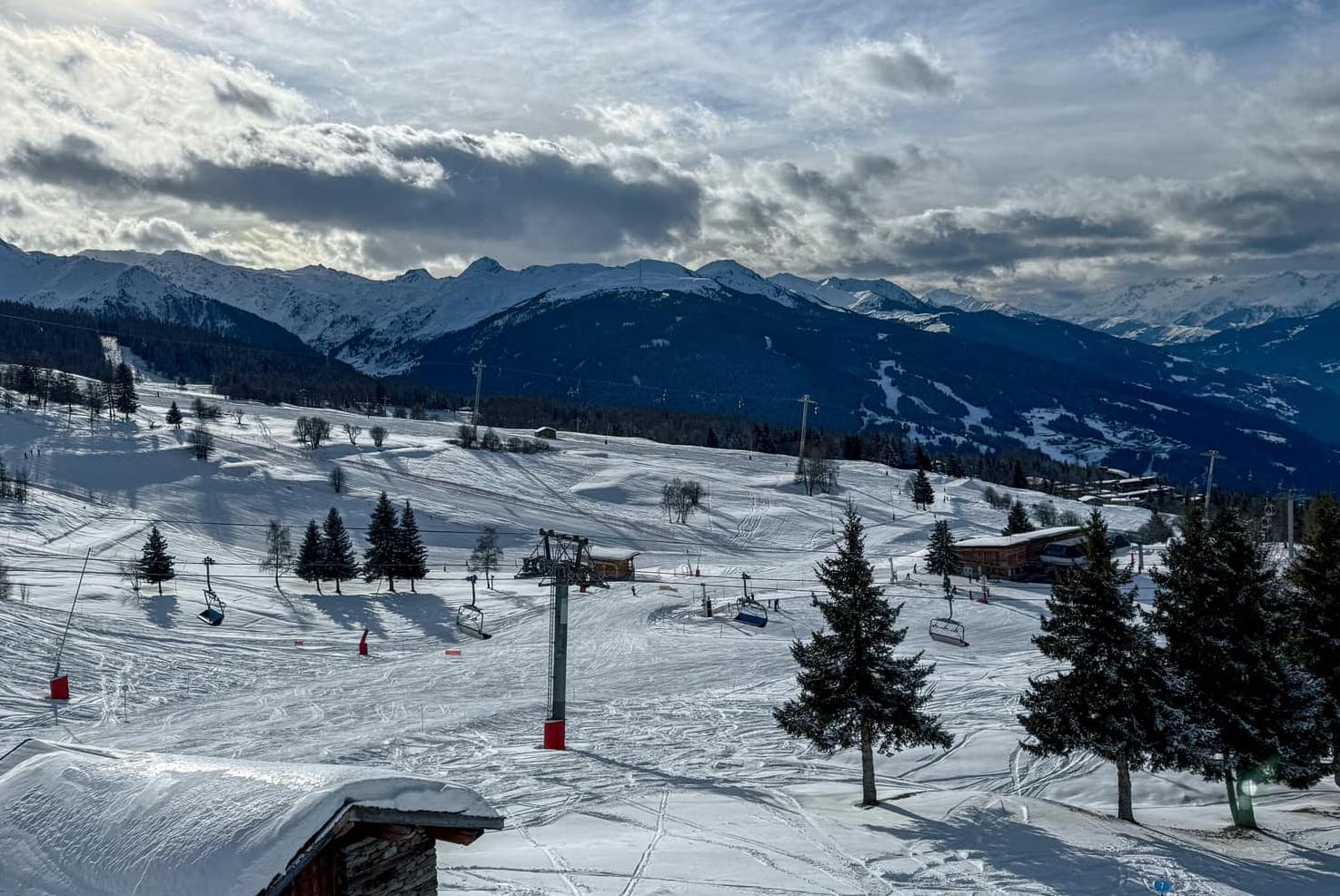
The sunny weather that moved in on Sunday is set to continue right through the coming week. Temperatures will be well below freezing much of the time, with overnight lows getting down to -15C up high and the freezing point moving between 200 and 1800m altitudes.
ITALY REPORT
It has been predominantly sunny weather in Italy after some decent snowfalls last week. As with the rest of Western Europe, there have been issues with warm temperatures, but these have dropped since the weekend, with lows getting down to double-digits below, keeping things fresh and allowing snowmaking to resume. Most Italian areas are 90-100% open, one of the highest percentages in Europe right now. Cervinia (50/150cm / 20/60") is posting the most terrain open right now accessible from Italy – around 250km (157 miles) of runs, although a chunk of it is in Switzerland. Val Gardena (60/85cm / 24/34") has every one of its 180km (113 miles) of slopes open. The 260cm (104") of snow lying at La Thuile is the deepest in the country by a full metre (40”).
ITALY FORECAST
The current sunny weather is currently forecast to continue right through the coming week. Temperatures are mostly in the -5 to +5C range.
SWITZERLAND REPORT
Sunny conditions across Swiss slopes after fresh snowfall at the weekend and mixed conditions (rain to high levels at times, along with gale-force winds and hill fog) in the final days of last week. Temperatures have been much colder since the weekend, though, allowing snowmaking systems to operate. Most Swiss areas are now 80-100% open, with the cross-border Les Portes du Soleil (100/120cm / 40/48”) including Morgins and Champéry on the Swiss side, posting 560km (350 miles) of slopes accessible, the most from the country.
SWITZERLAND FORECAST
It will remain predominantly sunny after some midweek snow showers. Temperatures will typically be in the -5 to +5C range, although it may get a little warmer in the afternoons at low elevations, with the freezing point generally in the 500 to 1500m altitude range.
PYRENEES REPORT
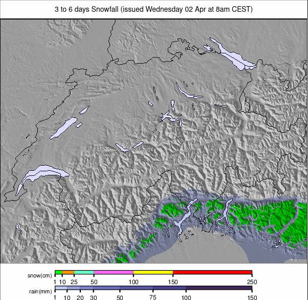
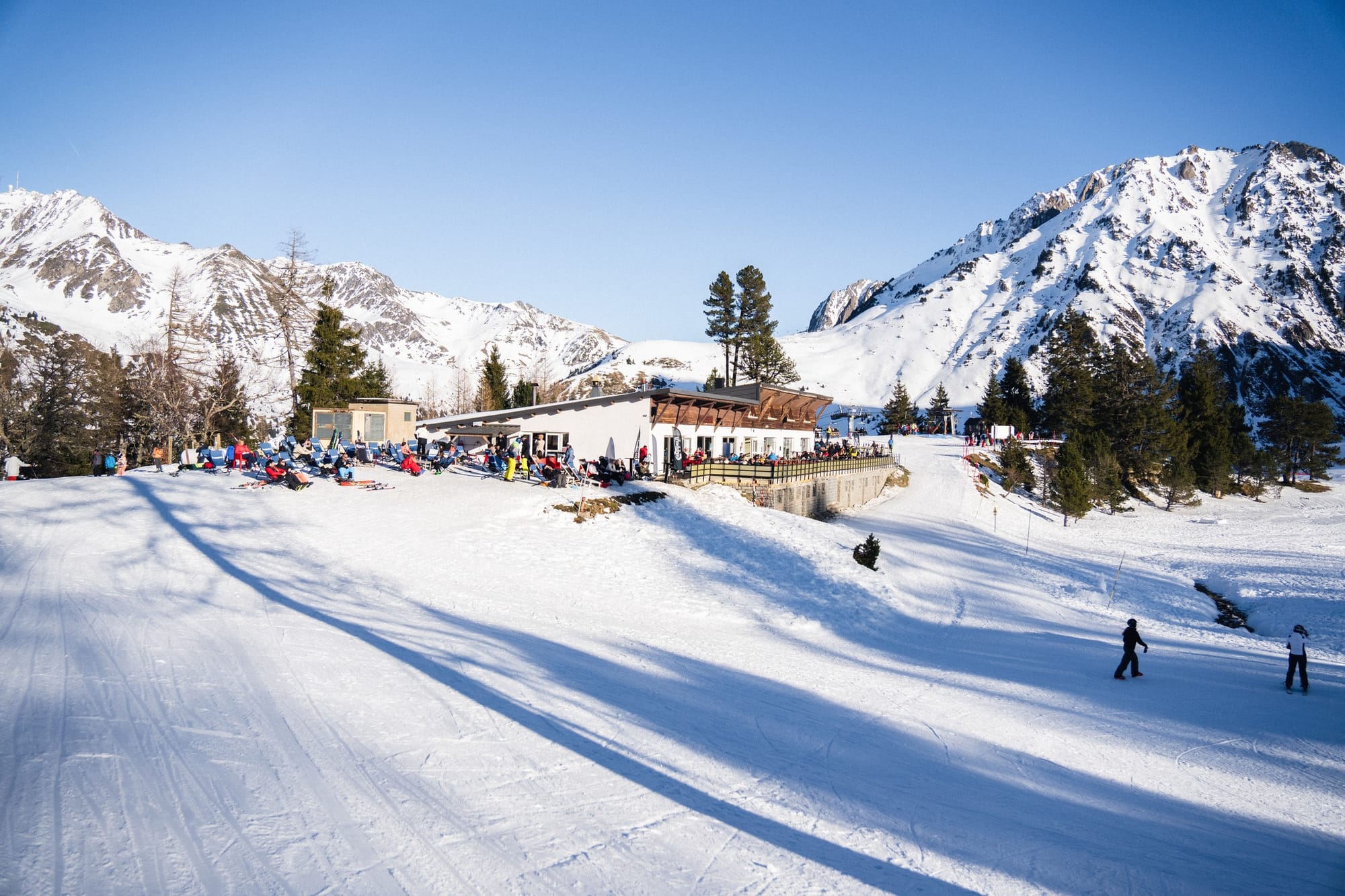
There’s been little fresh snow to report in the Pyrenees this week, but temperatures have dropped, and snow conditions are reported to have been good due to resort mountain teams working hard and using the snowmaking to top up cover. Most centres in the region are at 40-60% open as they still await a really good period of snowfall to build bases beyond the machine-made stuff. However, a few on the French side are closer to full operations. The largest area, Grandvalira (incorporating Pas de la Casa/Grau Roig/Soldeu/El Tarter/Canillo/Encamp) (40/95cm / 16/38”) is up at about two-thirds open, equating to about 140km (87 miles) of slopes, the most in the area.
PYRENEES FORECAST
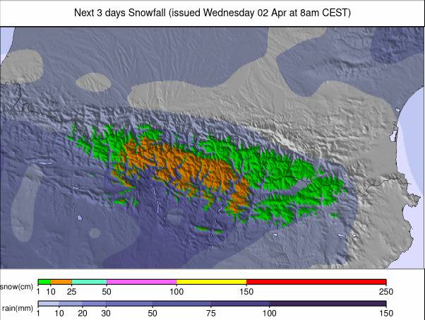
Sunshine is forecast for the next seven days, temperatures in the -10 to +5C range, the freezing point moving between approximately 500 and 2,000m.
SCANDINAVIA REPORT
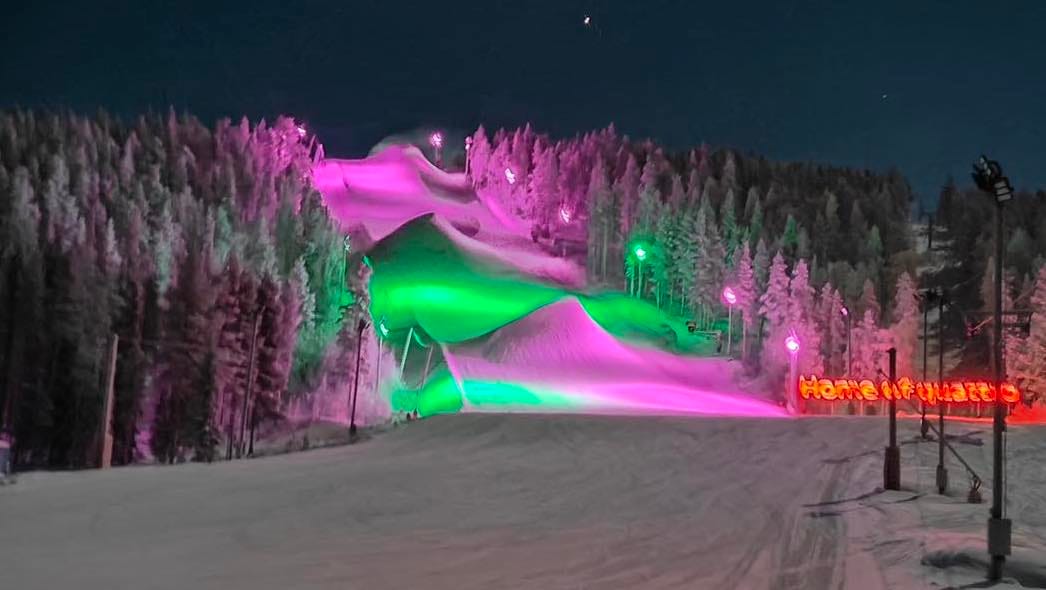
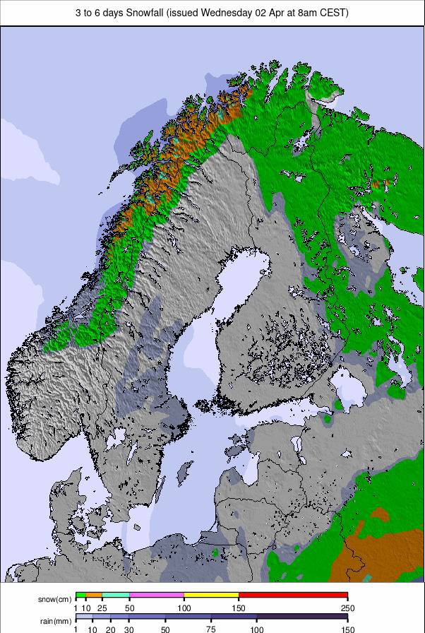
Scandinavian ski areas continue to enjoy some of the best conditions in Europe. There will be more consistent low temperatures, getting down to the -20s, and regular snowfall this week, with western Norway continuing to benefit in particular. The region’s deepest snow is at Myrkdalen (70/150cm / 28/60”), which has had several feet more snowfall this week, although temperatures have become mild over the last few days. Sweden’s Åre (45/83cm / 18/33”) has the most terrain open in the region - about 70% of its slopes.
SCANDINAVIA FORECAST
Unfortunately, the next few days will be unseasonably warm, with some resorts in the region likely to see rain. Further west and north, though, drier conditions and lower temperatures should prevail.
EASTERN EUROPE REPORT
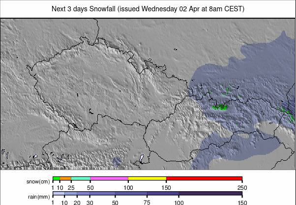
Northeastern European ski areas posted some of the best snowfalls of the week as most of Western Europe enjoyed full sunshine. Temperatures were cooler over the weekend too, well below freezing. Czechia’s Pec pod Sněžkou (60/80cm / 24/32”) and Černá hora - Janské Lázně (50/125cm / 20/50”) both posted 15cm (6”) accumulations to start the new week and are among the majority of ski areas in the country now posting 95-100% of their slopes open. It’s a similar story in Poland and Slovakia. The past few days have seen a good deal of snowfall in the Balkans, including on Bulgarian slopes, with subzero temperatures, although fairly light accumulations.
EASTERN EUROPE FORECAST
Mostly dry and sunny. Temperatures in the +2C to -8C range. A band of light snow moving through on Wednesday/Thursday. Sunny but colder, as low as -13C expected, in the Balkans to the south.
SCOTLAND REPORT
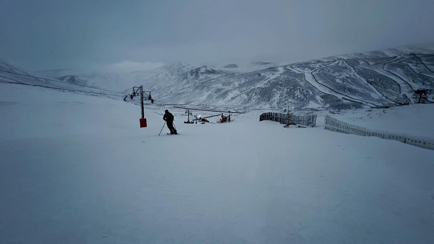
Scottish ski areas have had a dramatic week with some of the lowest temperatures in the Highlands of recent decades, down to -20C at times. Unfortunately, these lows were not accompanied by big snowfalls, and some skiers struggled to understand why there was still nothing much open beyond the all-weather snow machine-made cover. That said, by the weekend, Glenshee, Cairngorm, and The Lecht did manage to open some additional natural terrain, only to see temperatures rise more than 30 degrees to above +10C at bases to start this week.
SCOTLAND FORECAST
Unfortunately, the forecast is for fairly mild conditions, with a mixture of sunshine and rain continuing into next week.


