Europe Weekly Roundup #275
Updated 10th January 2025: Avalanche warnings issued across the Alps as up to 100cm (40") of fresh snow boosts ski conditions. Click for the full European snow report and forecast!
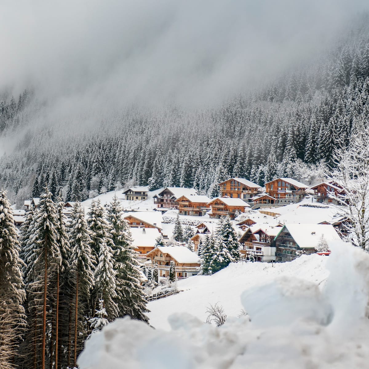
Avalanche Warnings Issued Across Alpine Regions After Significant Snowfall
- The Alps experienced significant snowfall, with 50cm+ in many areas, alongside low visibility and strong winds; the forecast predicts continued snowfall and colder temperatures, improving ski conditions across the region.
- Austria, France, Italy, and Switzerland reported heavy snow, with France expecting up to 60cm more and Switzerland potentially seeing a metre of fresh snow; rising avalanche risks remain a concern.
- Scandinavian resorts benefited from cold temperatures and fresh powder, while Eastern Europe and Scotland also saw snowfall and anticipate continued cold weather with light to moderate snow showers.
EUROPE OVERVIEW
Temperatures have dropped and snowfall has returned to the Alps, with many areas picking up 50cm+ (several feet) of snowfall or more over the last seven days. The only downsides of this change from the sunny weather between Christmas and New Year have been low visibility and strong winds at times, which have contributed to the avalanche danger level rising to 4 ("High") on the scale to 5 at times in the Western Alps. There's been lighter snowfall in the Pyrenees, and the Dolomites are also seeing some snow as well. Temperatures have remained very cold in much of Scandinavia, where bases are continuing to gradually build and more terrain has been opening. Eastern European ski areas have also had fresh snowfall and some problems with strong winds at times. For Scotland, it has finally been colder, with natural snowfall levels beginning to build back up next to the machine-made areas.
AUSTRIA REPORT
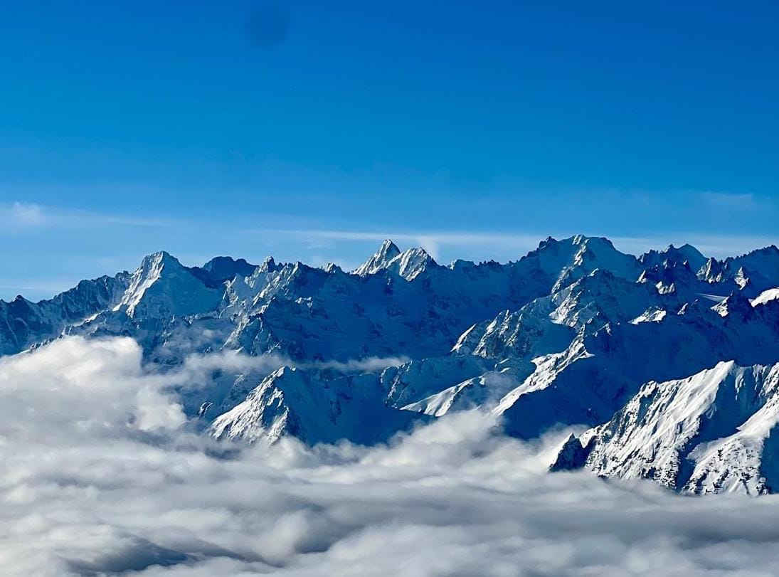
It ended up a slightly challenging week in Austria between Christmas and New Year, with warm temperatures impacting thin cover on low valley slopes. The good news is the subsequent temperature drop as we started 2025, with the mercury dropping well below freezing down to valley floors, which has stabilized that issue to some extent. Snowmaking lows plus natural snowfall have actually thrown things into reverse, with the numbers going back in the right direction again. Most Austrian areas have 80-90% or more of their terrain open and fresh snow on it. The Arlberg region, incorporating Lech and St Anton (50/125cm / 20/50"), has the most open terrain, more than 240km (150 miles) of runs and about 80% of slopes. Saalbach Hinterglemm Leogang Fieberbrunn (40/80cm / 16/32”) and the SkiWelt Wilder Kaiser-Brixental (85/110cm / 34/44”) have just a few kilometers/miles less.
AUSTRIA FORECAST
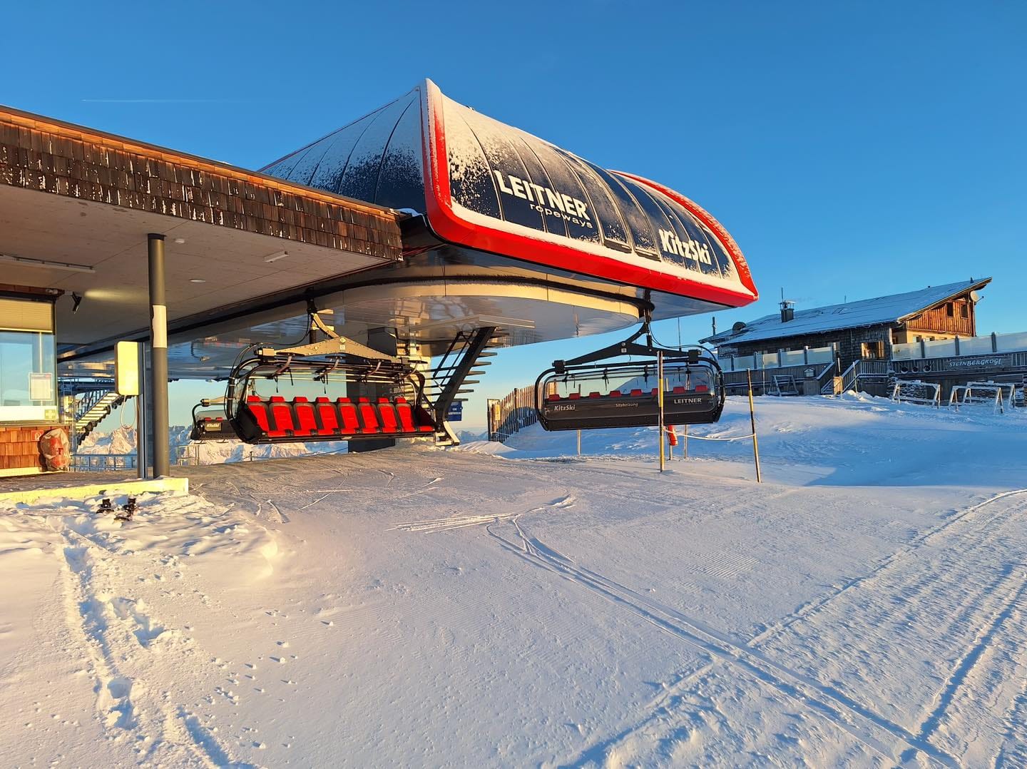
A snowy end to the week for most parts of Austria with temperatures ranging from +5°C in the afternoons in lower valleys to potentially -20°C overnight on high slopes. 5-15cm (2-6") of snowfall is expected daily for the next few days, meaning 15-45cm (6-18") accumulations by the weekend when skies are expected to clear.
FRANCE REPORT
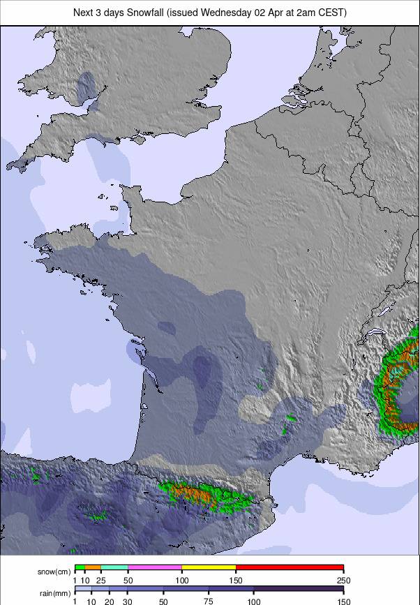
Snow started falling again in the French Alps at the end of last week, and it has continued on and off since, with 10-30cm (4-12") accumulations most days. Temperatures are also well down compared to a week ago, with lows around -15°C at higher altitudes and the freezing point down towards the valley floor. It is very changeable at the moment, though, with cold temperatures one day followed by temperature spikes and sometimes rain the next. The avalanche danger also climbed back up to a high level 4 after the snow started falling, having previously dropped down to 3. Conditions, in terms of snow cover, are therefore pretty good across the country and, so long as conditions allow, most centres have everything open. The 3 Valley has up to 560km (350 miles) of trails available, more than 90% of the slopes. Chamonix’s Aiguille du Midi at the top of the Vallee Blanche is posting one of the deepest snow depths in Europe at 3m (10’).

FRANCE FORECAST
It’s a mixed forecast for the rest of this week, with heavy snow – potentially 60cm+ (several feet) expected on higher slopes above 2,500m, but with a danger of rain at times below 2,000m as the snowline will move between 500 and 2,500m. Conditions should start to calm down from the weekend.
ITALY REPORT
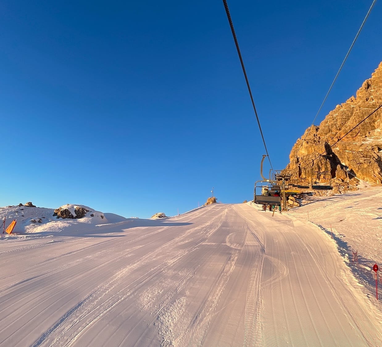
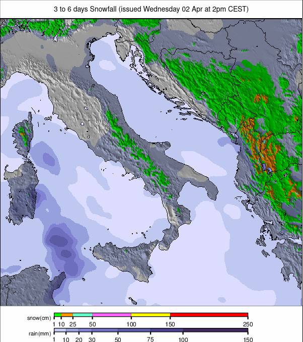
Italy has had, until the past few days, another largely dry and sunny week. Still, unlike the week between Christmas and New Year, it has been colder, with temperatures rarely getting above freezing at 2,000m and frequently dipping down as low as -10°C. There has been some snowfall, which has intensified over the past few days. Madonna di Campiglio has posted 60cm (24”) in the past 72 hours. It’s now becoming more unsettled, with snow showers in the east too. The colder temperatures have also allowed snowmaking to resume. Most Italian ski areas are close to fully open, with the Milky Way region, including Sauze d’Oulx and Sestriere, reporting the most in the country, with about 300km of slopes open there.
ITALY FORECAST
It’s looking more settled across most of Italy for the latter half of this week, with plenty of sunshine once again. Temperatures should remain below freezing above around 1,500m for most of the time, but it will be warmer in low valleys. Lows above 2,500m getting down to -10°C overnight.
SWITZERLAND REPORT
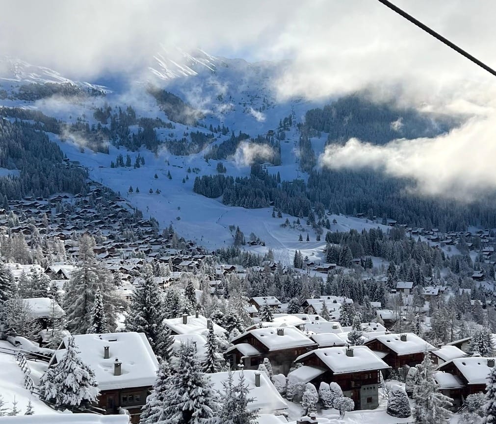
The warm week between Christmas and New Year saw some areas post as much as a 60cm (24") drop in their base-level snow cover over the seven days. Things got back on track last Friday, though, when widespread snowfall led to accumulations of up to 50cm (20") in 24 hours, and the snow has kept falling, on and off, across the country ever since, with temperatures also dropping below freezing 24-7 at most Swiss areas, right down to low elevations. Although increasing avalanche danger and at times strong winds and low visibility closed some runs and lifts, most Swiss regions are close to full operation, with the most terrain open of the seasons so far. The largest area open from Switzerland, Les Portes du Soleil, including Morgins and Champéry, with access to French resorts too, is now 90% open with more than 500km (313 miles+) of terrain available.
SWITZERLAND FORECAST
Mostly snowy weather should continue across Switzerland through the weekend, giving the potential for up to a metre (40") of snowfall accumulating on high slopes over 7 days. The freezing point will climb to 2,000m at times in the middle of the week, though, with the possibility of rain, unfortunately, on lower terrain.
PYRENEES REPORT
The heavy snowfall that was forecast this time last week did not really arrive in the Pyrenees as hoped, but there has been some snowfall, and temperatures have dropped too, with overnight lows on higher ground getting below -10°C, whilst daytime highs down at the resort level are still getting up to 6 or 7 degrees above freezing. The consequence of these pros and cons is that there's not a huge amount that has changed from a week ago. Andorra’s Grandvalira (45/95cm / 18/38”) is now posting 70%/150km/93 miles of terrain open, the most in the region, so is in pretty good shape. Most other ski areas are 60-90% open, but a few on the Spanish side, such as Cerler and Formigal, appear to be struggling still with thin cover and only 30-40% of their runs open. Sierra Nevada, to the south, continues to suffer from very challenging conditions and had only 10% of its slopes open over Christmas and New Year. It has now, though, had 40cm (16”) of snowfall in the past few days and announced more terrain opening, including its first top-to-bottom full vert runs and its first black-rated terrain opening this winter.
PYRENEES FORECAST
Mostly sunny now for the coming week, with temperatures in the -5 to +6°C range in the Pyrenees, but a band of light to moderate snow showers should move through at the start of the weekend.
SCANDINAVIA REPORT
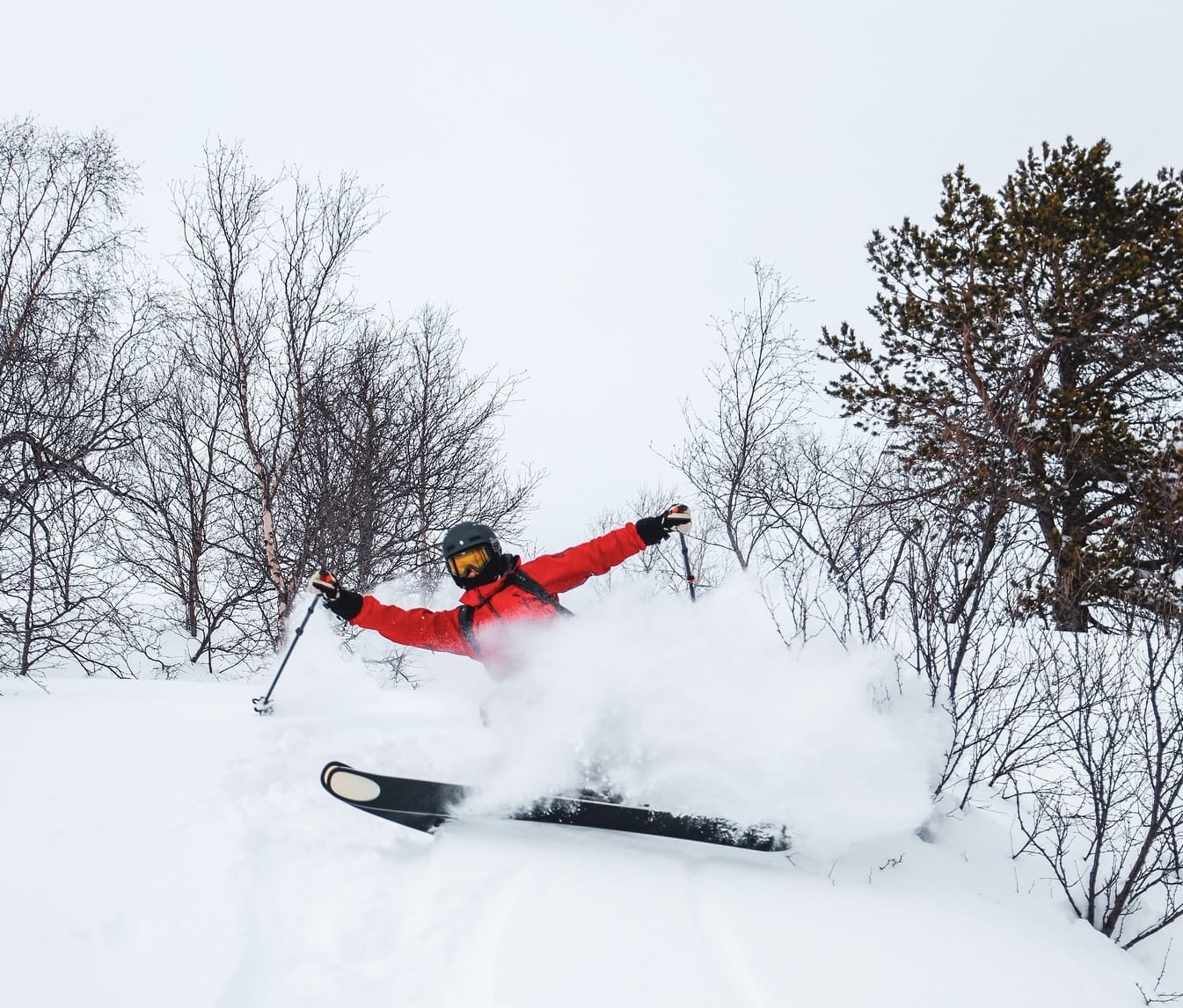
Sunshine, then snowfall across Scandinavia over the past week, with generally light as well as low accumulations reported as temperatures were widely in the -10 to -20°C range. The best conditions and the heaviest snowfall continue to be in the west, where ski areas close to Norway’s coast have been reporting deep powder conditions. Myrkdalen (70/150cm / 28/60”) is reporting some of the deepest snow, whilst nearby Voss (60/80cm / 24/32”) posted 10cm (4”) in 24 hours on multiple occasions through the weekend. It was topped by Bjorli (65/80cm / 26/32”) posting 25cm (10”) of fresh powder overnight on Friday, the most in Europe that day.
SCANDINAVIA FORECAST
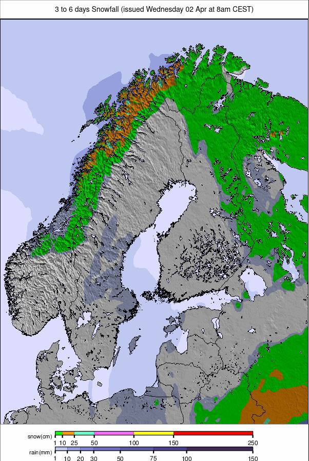
It's looking mostly clear and sunny for the remainder of this week, with just some light snowfall at times for most Scandinavian resorts. Temperatures are very cold, mostly in the -10 to -25°C range.
EASTERN EUROPE REPORT
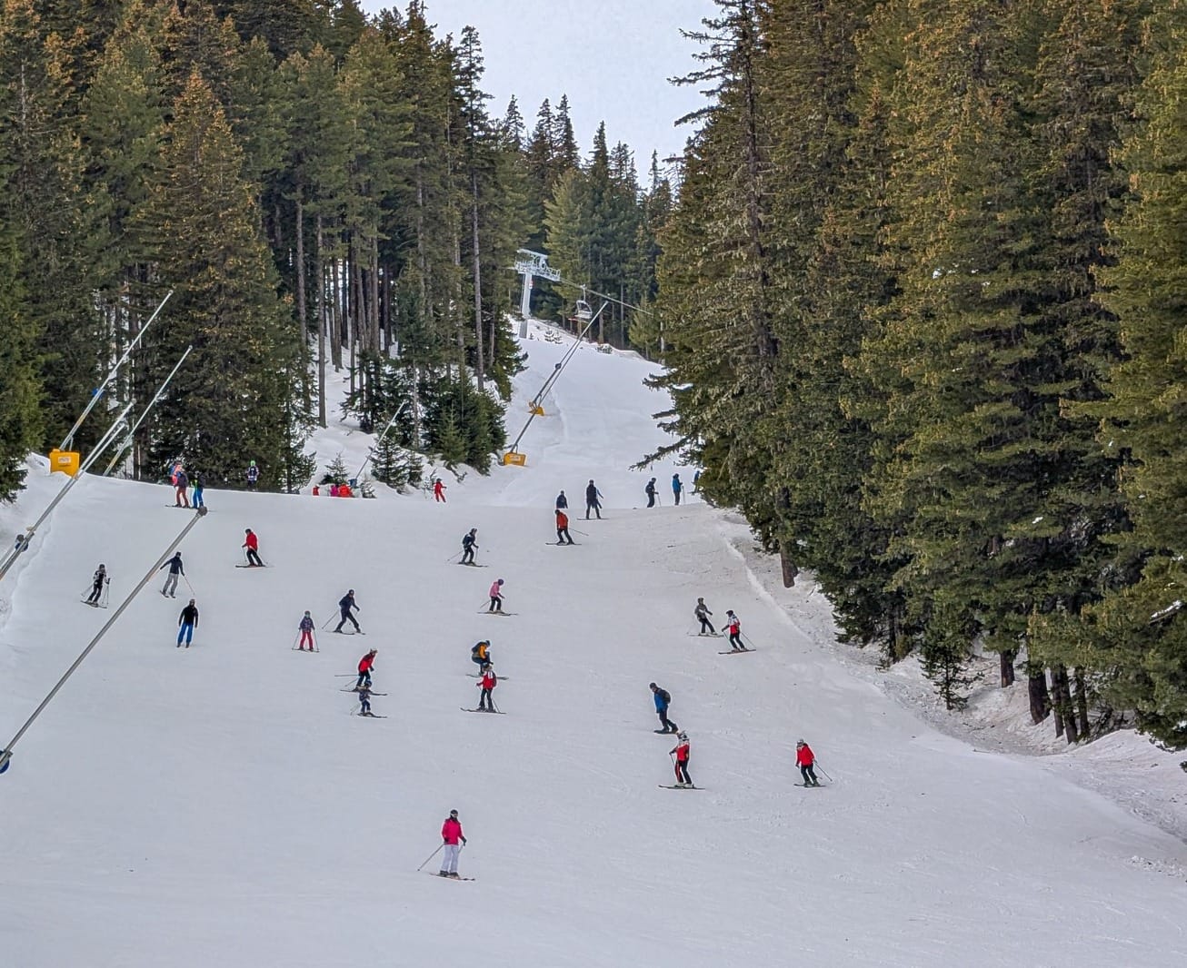
With the Women's Alpine skiing World Cup tour rolling into Slovenia's Kranjska Gora at the weekend, there's been a greater focus than usual on Eastern European ski areas. Most are in good shape, though, with Slovakia's Jasna (40/60cm / 16/24") posting the most terrain open in the northeastern part of the region and Bulgaria's Bansko (10/150cm / 4/60”) the most in the southeastern. After a sunny end to the week for most areas in the Northeast, temperatures dropped and clouds rolled in from last weekend, with subzero temperatures and light to moderate snowfall since. It's stayed mostly sunny in more Southeasterly ski nations but with low temperatures in the mountains, ranging from about -15 to +5°C.
EASTERN EUROPE FORECAST
Temperatures are expected to remain subzero, with more light snowfall forecast for the latter half of this week in the Northeast. Further south, the drier, sunny weather will continue to dominate through the remainder of this week.
SCOTLAND REPORT
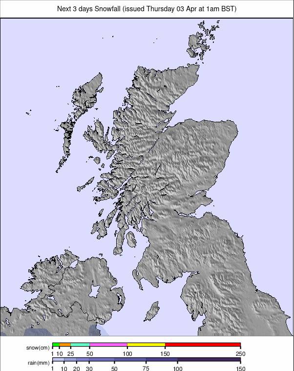
It’s been a good week in the Scottish Highlands, with temperatures staying consistently low, mostly lighter winds, and some snowfalls. Glencoe, Glenshee, Cairngorm, and The Lecht have been offering limited skiing on their terrain maintained by all-weather snowmaking systems whilst they watch their natural runs fill in and bases build up again. All seem close to being able to offer more terrain, but as we publish this week's report, none are quite there yet. Glencoe notes that ski tourers and splitboarders are again using its Access Chair to go hunting adequate areas of snow to ski.
SCOTLAND FORECAST
Clearing skies but staying very cold through the weekend, with lows down as far as -12°C in the forecast for higher slopes.
