Europe Weekly Roundup #274
Updated 1st January 2025: Christmas snow transformed the Alps, with France boasting Europe’s deepest snow. Big storms are brewing across the Alps, Pyrenees, and Scandinavia!
• Avalanche risk drops in the Alps as heavy snow approaches for the weekend
• France leads with Europe’s deepest snow and incoming storms
• Austria sees 80%+ slopes open after epic Christmas snowfalls
• Swiss Alps brace for icy temperatures and fresh snow this week
• Pyrenees and Scandinavia set for New Year snowfall boosts
EUROPE OVERVIEW
After the huge snowfalls in the run-up to Christmas, which saw some ski areas post over two-metre (seven feet) accumulations last week, it’s been a predominantly sunny week in the Alps and most of western Europe. That allowed centres to stabilise what they have open, and the Western Alps saw the avalanche danger drop slightly from a very high 4 out of 5 on the scale to 3 out of 5 – still 'considerable'. There’s been very little snowfall reported anywhere with the predominantly dry conditions, but there have been light to moderate falls up in Scandinavia and some in Eastern Europe, too.
AUSTRIA REPORT
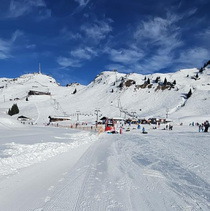
It’s been a great week in the Austrian Alps after the Christmas week snowfalls. The skies have cleared and been mostly sunny, with temperatures in the -5 to +5C range. The only downside is that some afternoon highs touch +10C in low-lying valleys, which are too warm for comfort. Open terrain continues to increase with The Arlberg (50/180 cm | 20/72”), including St Anton and Lech, passing 80% (240km/150 miles) of slopes open. Part of that is the newly opened 24-25 Valluga high-altitude expert, level terrain. It’s closely followed by Saalbach Hinterglemm (30/60 cm | 12/24”), Ischgl (40/70 cm | 16/28”) and the Skiwelt (Soll, Ellmau, Westendorf et al.)(80/110 cm | 32/44”) all with 200km (125 miles) or more of slopes open. Ifen (70/200 cm | 28/80”) is the first in Austria to reach a 2m base depth this winter.
AUSTRIA FORECAST
It’s looking colder over the next few days, with temperatures down below freezing even at low-lying valleys and getting below -10C above 2,000m altitudes. A moderate snowfall (10-20 cm | 4-8”) is expected on Thursday, and something similar again at the start of the weekend.
FRANCE REPORT
Generally, there were excellent conditions across the French Alps after the huge snowfalls, which saw some areas accumulated over 2 metres (7 feet) of snowfall last week. This means that the snow depths are the deepest in Europe. This week has been cold and clear for most, with plenty of sunshine and the avalanche risk dropping slightly from "high" to "considerable" on the scale, making off-piste still very dangerous in avalanche-prone terrain. Les 3 Vallées (Val Thorens/Les Menuires/Méribel/Courchevel)(160/210 cm | 64/84”) has about 550km (343 miles) of runs open, the most in the world; Le Grand Massif (Flaine/Les Carroz/Morillon/Samoëns/Sixt)(1215/270 cm | 46/108”) the deepest snow in Europe at present.
FRANCE FORECAST
There are about 24 hours more of dry, sunny weather in the forecast before things turn wintery again from Thursday. Increasingly heavy snowfall is forecasted into the weekend, and temperatures will drop below freezing.
ITALY REPORT
]Whilst there were some big snowfalls in the north and west of Italy in the run-up to Christmas, most of the country stayed dry, and some thin early-season bases still haven’t grown much as we enter January after yet another predominantly dry and sunny week. Amongst the more noteworthy ones on that score is the famous freeride destination Livigno (27/29v cm | 11/12”), which, despite having doubled its base the week before, still only has about half its slopes open. Elsewhere bases aren’t much better, typically 30-50 cm (12-20”) in the Dolomites, but still, thanks to snowmaking, ski areas like Val Gardena now report 100% of their groomed terrain open.
ITALY FORECAST
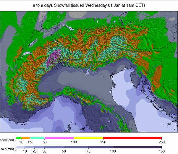
Conditions are changing with a cold front moving through and dragging temperatures below freezing at all levels. The end of this week and the weekend should bring increasingly significant snowfalls, but at this point, it's not clear quite how heavy (or not) these are likely to be.
SWITZERLAND REPORT
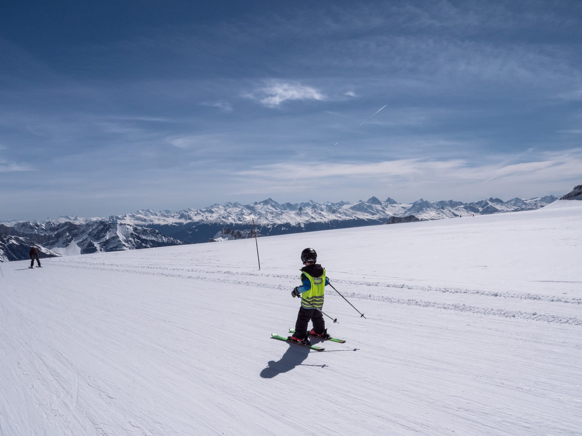
As with the rest of the Alps, Swiss centres have enjoyed a predominantly sunny week since the big snowfalls in the first half of last week. Temperatures have remained below freezing above 2,000m so conditions have been excellent. The new snowfall has also allowed ski areas to open more terrain, so most ski resorts are now close to full operation. The Jungfrau (40/100 cm | 16/40“) is amongst those posting 80% or more of their terrain open, whilst the 4 Valleys (60/115 cm /24/46") now have more than 300km (190 miles) of runs open, the most in the country.
SWITZERLAND FORECAST
It should turn much colder in the final days of this week, with lows down towards -15C and highs remaining below freezing too. Fresh fronts will bring snow across the country from Thursday/Friday, getting increasingly heavy in the Western Swiss Alps, although not expected to amount to a lot on current models for more southerly and easterly spots.
PYRENEES REPORT
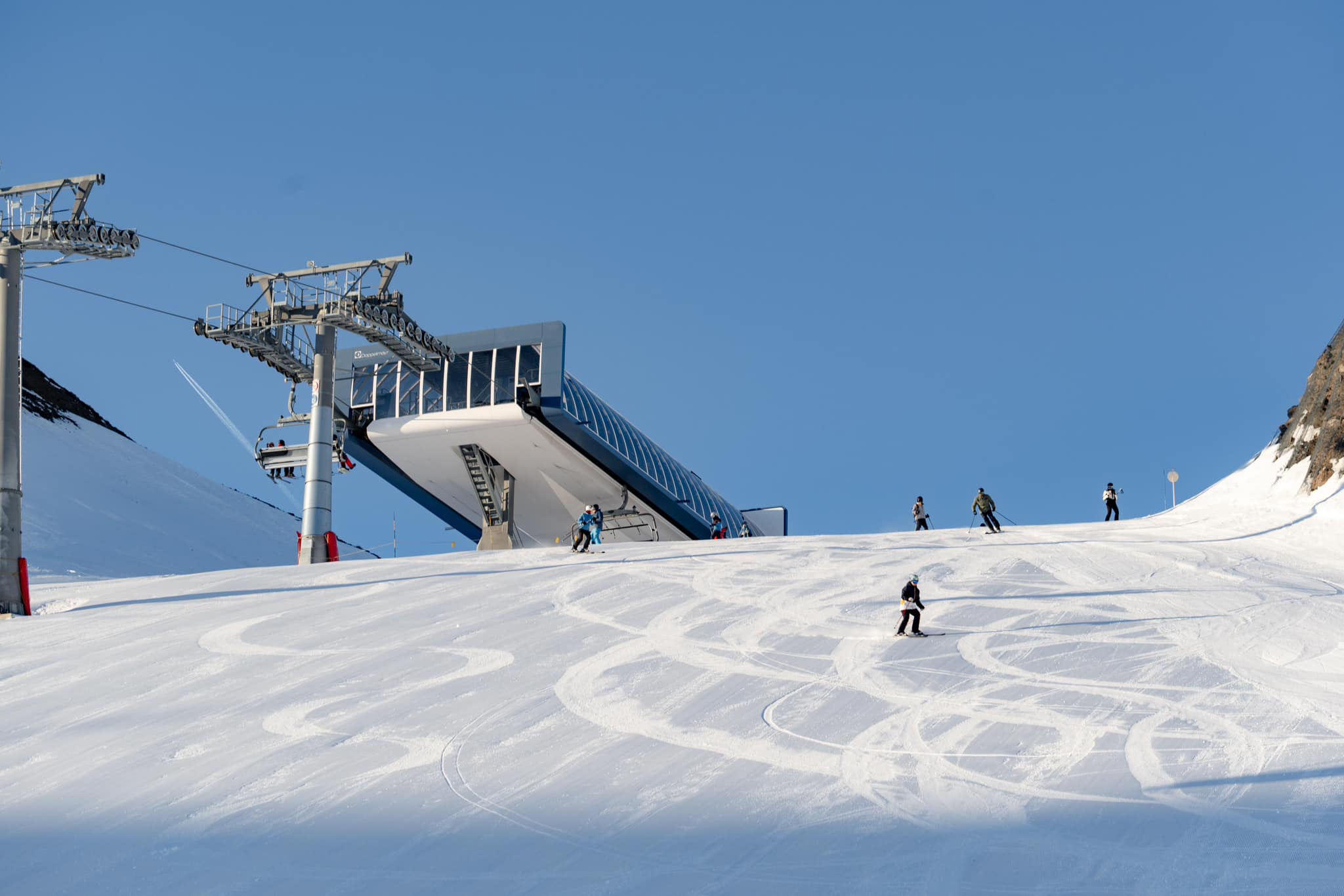
Sunshine has been the dominant weather this past week in the Pyrenees, just as in the Alps. Temperatures have, fortunately, not been too warm, though, with a similar -5 to +5C average. Snow depths are not yet quite what they are further north, and most centres remain 40-60% open, but some are looking better, including France’s St Lary (110/130 cm | 44/52”), which has about 90% of its slopes open already. Grandvalira (45/95 cm | 18/38”) has the most open terrain in the region, with about two-thirds of its terrain making 160km (100 miles) of runs. Spain’s Baqueira Beret (45/65 cm | 18/26") is on 75% of its terrain open and has 125km (77 miles) of runs available.
PYRENEES FORECAST
Staying sunny through to the end of the week when colder temperatures should blow in on a snow-bearing front, although accumulations are expected to be relatively light, adding just a few centimetres (an inch or so) of cover at most areas. Back to sunshine and temperatures warming in the latter half of the weekend.
SCANDINAVIA REPORT
Conditions gradually improve in Scandinavia, with western Norway posting the most significant gains in snowfall and open terrain. Voss (60/100 cm | 24/40”) posted the most significant snowfall in Europe at the weekend as the sun shone over much of the continent, adding 13 cm (5”) in 24 hours. That was also good news for nearby powder spot Myrkdalen (70/150 cm | 28/60”), which reports the deepest snow in the region and most of its slopes open with plenty of powder. There were strong winds, too, closing some lifts at times. It’s now 80% open and describes powder conditions. The largest centre, Sweden’s Åre (45/74 cm | 18/30”) still only reports about 40% of its terrain open.
SCANDINAVIA FORECAST
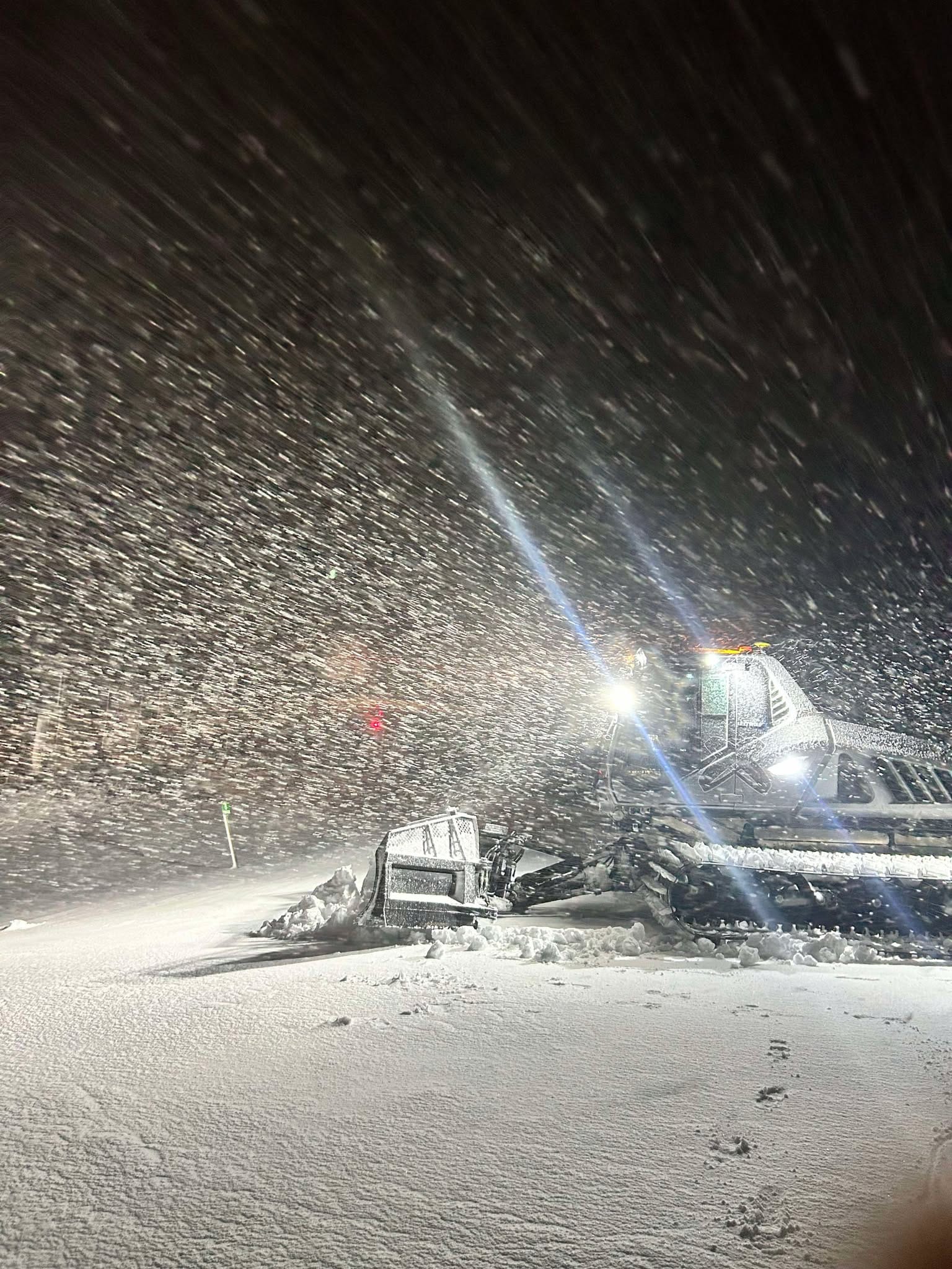
A positive forecast for the first week of 2025, with temperatures getting down to the -20s and light to moderate snowfall forecast across the region, should result in more slope openings, especially as daylight hours continue to increase.
EASTERN EUROPE REPORT
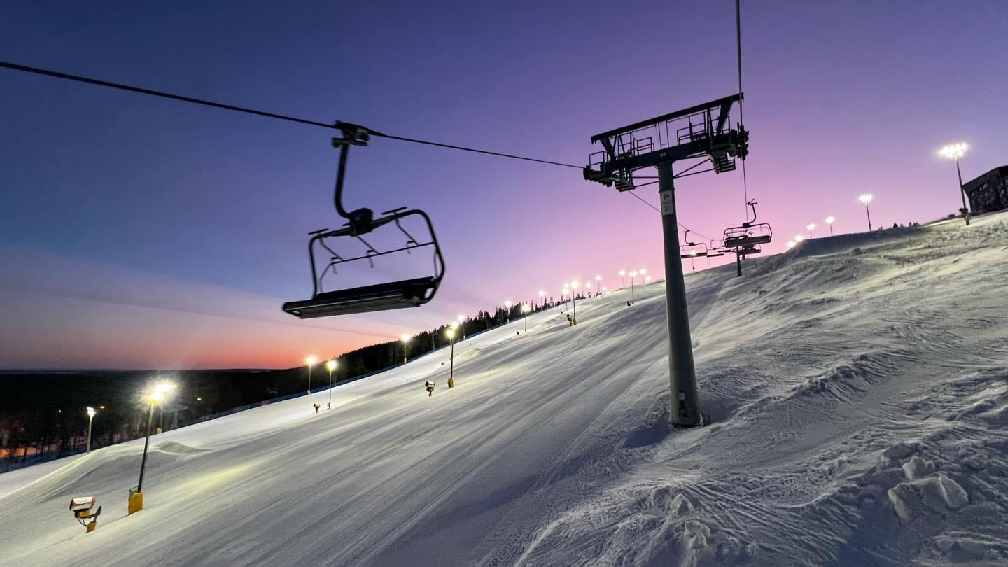
It’s been a pretty good week in Eastern Europe, with most areas reporting fresh snowfall and open slopes. Bulgaria’s largest, Bansko, posted a 20 cm (8”) accumulation just after Christmas, with its 10km (6 miles) long home run down to the resort from the ski area in good shape. There was also fresh snowfall for Czechia’s Špindlerův Mlýn (20/80 cm | 8/32"), which reports two-thirds of its slopes open, and Slovakia's Jasna (40/60 cm | 16/24"), which is up to 80%.
EASTERN EUROPE FORECAST
It's sunny through to the weekend in the southwestern Alps when a front will bring a temperature drop and some light snowfall around Saturday, but that appears to be short-lived. Further north in countries like Czechia, Poland and the Slovak Republic, the snow will arrive earlier and be heavier, expected to start on Thursday and continue through the end of the week, bringing daily 5-10 cm (2-4”) accumulations and subzero temps into next week.
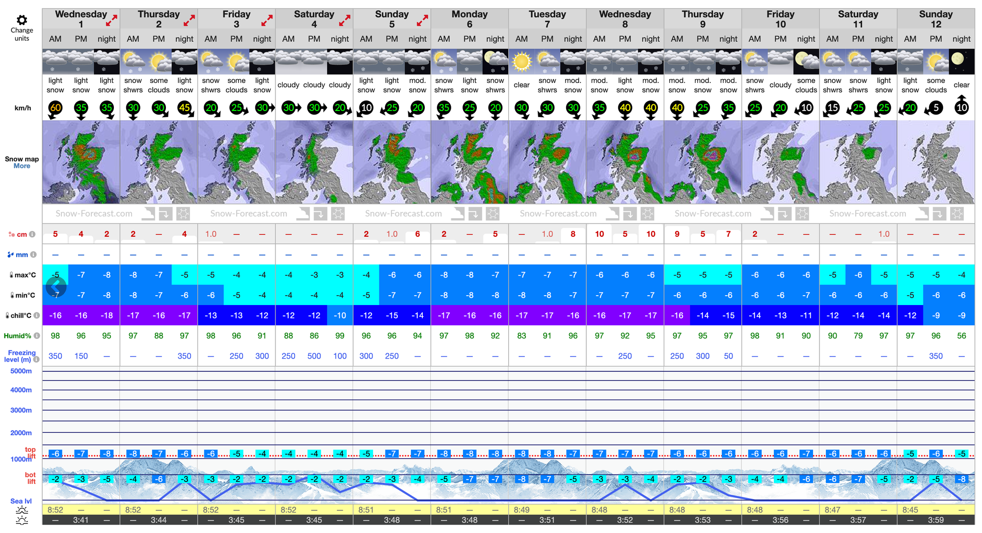
SCOTLAND REPORT
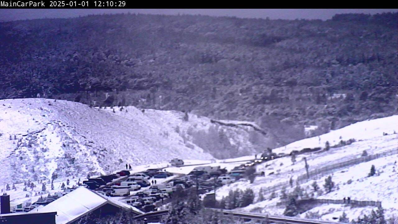
Scottish ski areas saw exceptionally warm temperatures over Christmas and into last weekend, limiting even the small areas that most have managed to open thanks to their all-weather snowmaking systems.
The good news is that colder temperatures and snowfall have arrived, rebuilding bases, with fresh snowfall on the ground for New Year’s Day after a snowy Hogmanay. Currently, Cairngorm, Glencoe, Glenshee and The Lecht all have terrain open but with only limited runs, which, particularly in Cairngorm’s case, can mean the few lift tickets available sell out days in advance.
SCOTLAND FORECAST
One of the most promising forecasts for a few weeks in the Scottish Highlands is that temperatures will stay subzero in the hills for the coming week, and snow showers are expected most days.
