Europe Weekly Roundup #273
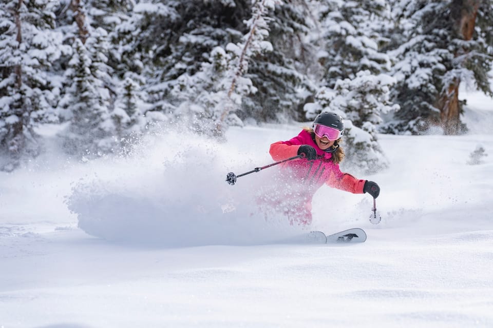
Updated 25th Dec 2024: Epic snowfall in th Alps with 1.5m of fresh powder. Scotland struggles with warm weather and gales.
- Alps See Epic Snowfall: Up to 1.5m of Fresh Powder
- Avalanche Risks High After Heavy Snow and Winds
- Pyrenees and Dolomites Boost Terrain with Fresh Snow
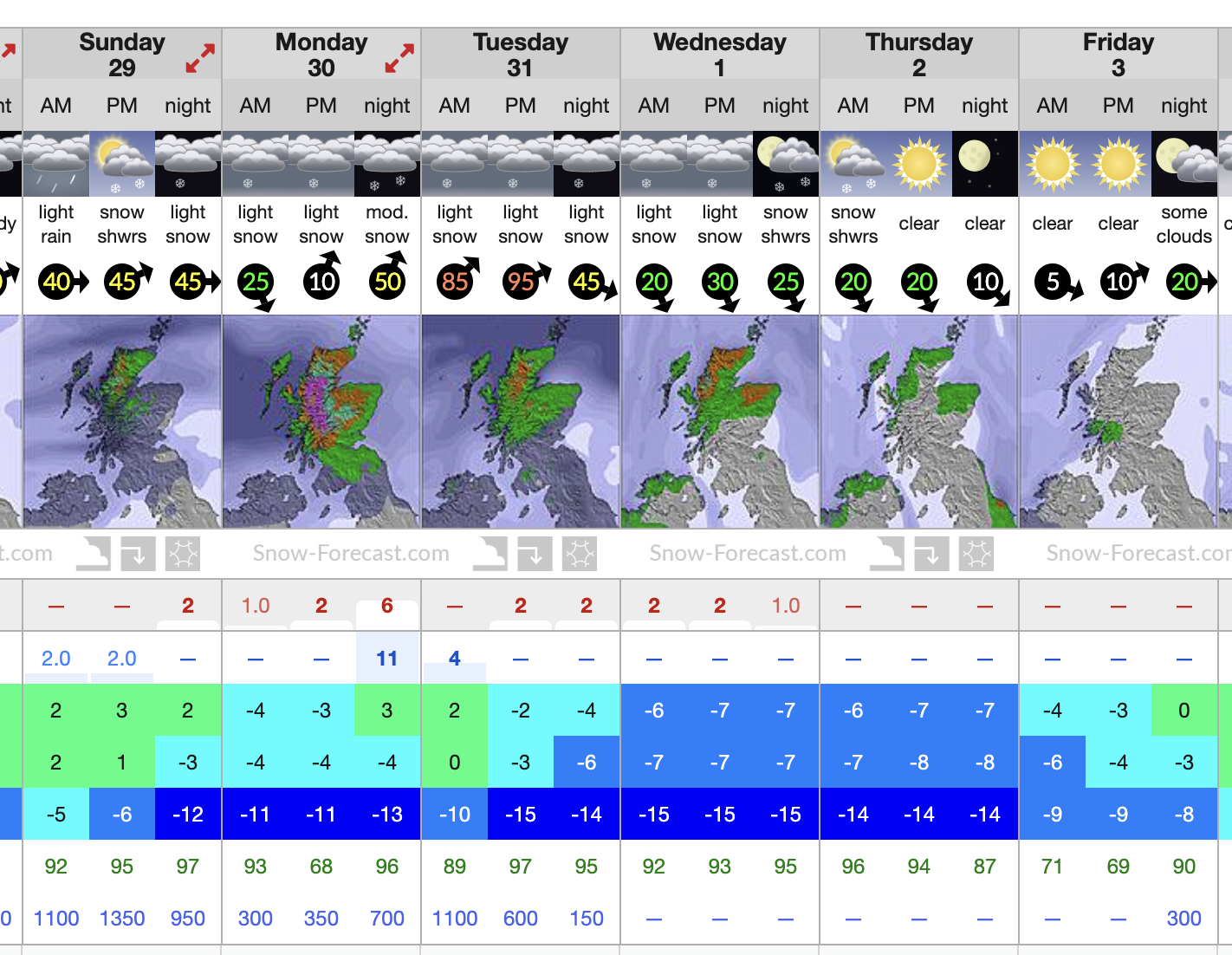
- Scotland Struggles with Warm Weather and Gales
- Clear Skies Ahead for France, Italy, and Austria Skiers
Europe Overview
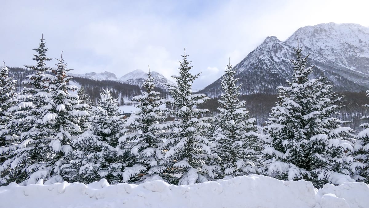
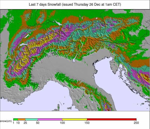
This week, we saw big temperature fluctuations in the Alps, with highs of +10°C and above bringing warm and wet conditions, switching to lows of -20°C up high. Strong winds brought gales to an end last week, followed by heavy snowfall at the start of this week, resulting in up to 1.5 meters (5 feet) of snow by Christmas Eve in the snowiest spots.
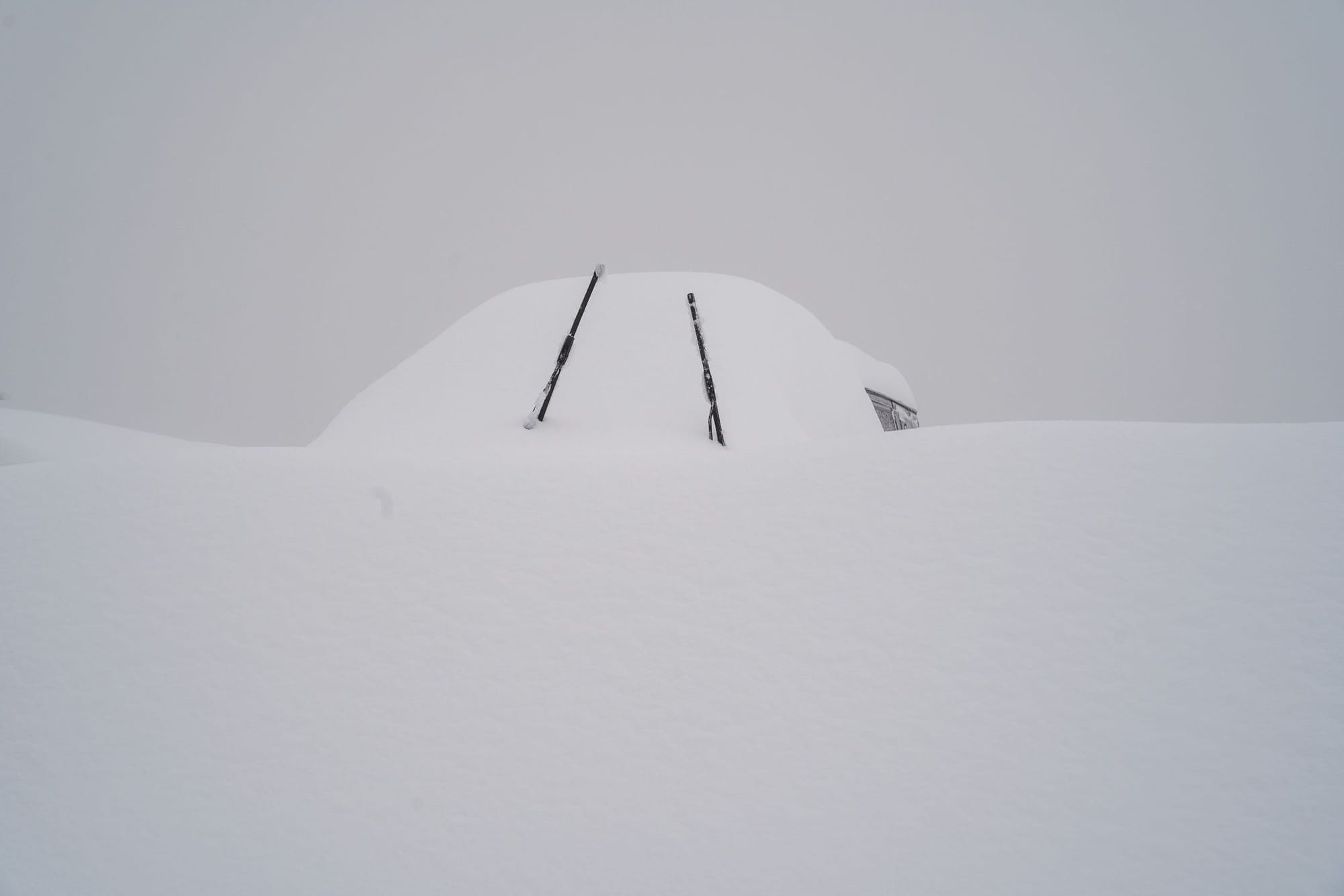
All this snowfall, combined with strong winds and periods of rain last week, has left snowpacks unstable, increasing avalanche danger levels. Practical issues like clearing lifts and access roads caused disruptions before Christmas, but sunnier skies have primarily resolved these problems since then.
Most regions have been cold from the Alps, with fresh snowfall in the Pyrenees, Dolomites, Eastern Europe, and Norway. Unfortunately, Scotland has again experienced unseasonably warm weather. Most areas have been working hard to open as much terrain as possible for the holiday weeks.
Austria Report
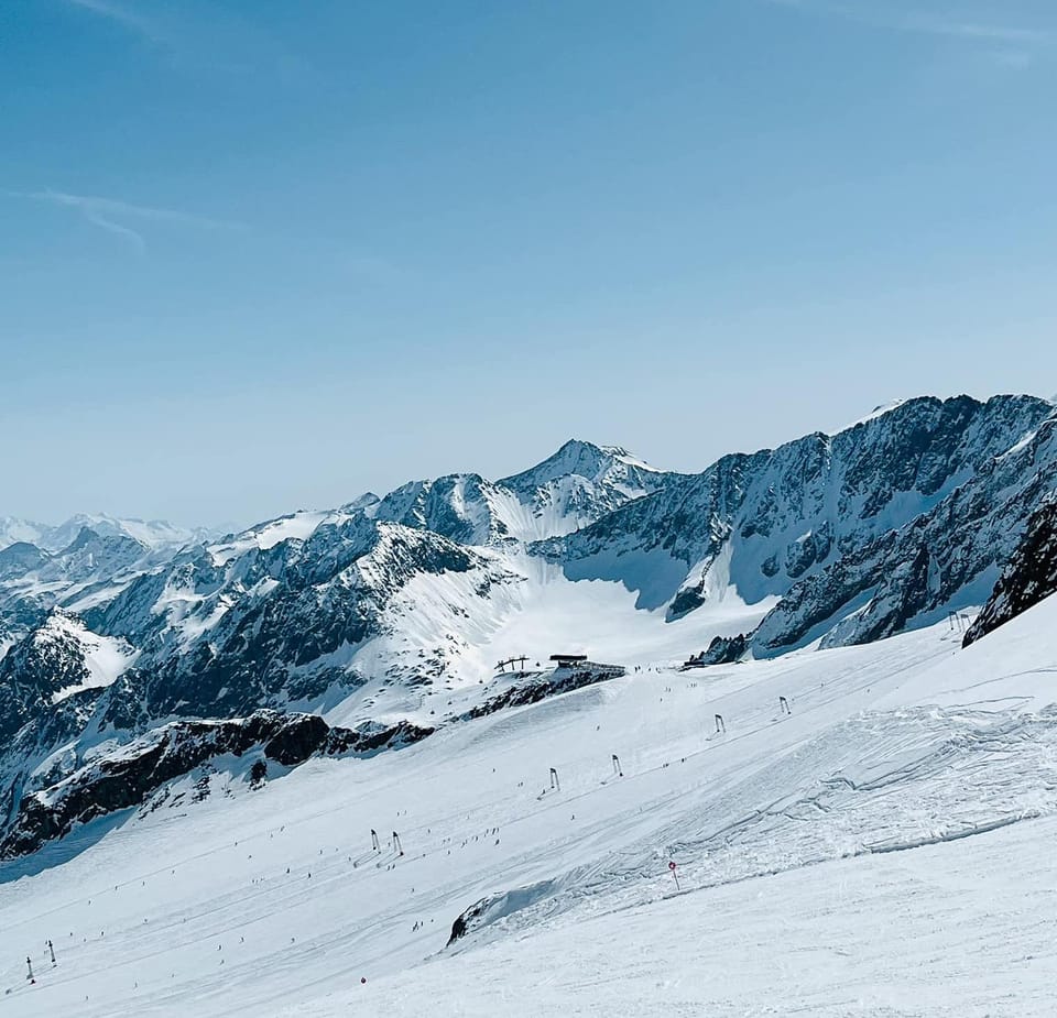
Austrian ski resorts had a solid week, with snowfall reaching low elevations. After a warm and wet middle of last week, fresh snow returned over the weekend and into this week, with many areas posting 60–90 cm (1–3 feet) accumulations.
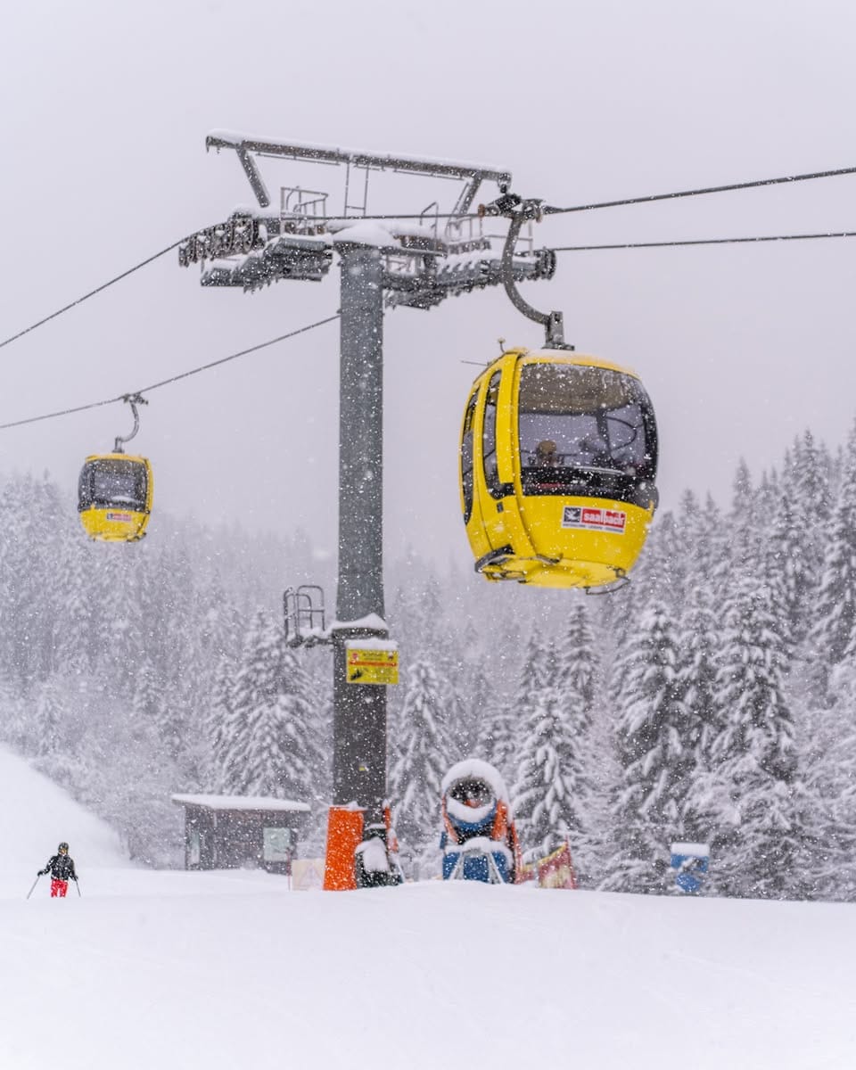
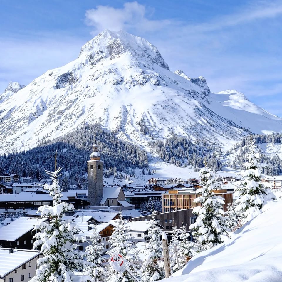
The Arlberg region (40/90 cm / 16/36”) performed especially well. Major ski areas like Ischgl (30/50 cm / 12/20”), Skiwelt (80/110 cm / 32/44”), and Serfaus-Fiss-Ladis (10/40 cm / 4/16”) are nearly fully open for Christmas. Saalbach Hinterglemm (30/60 cm / 12/24”) remains less than half open due to previous weather disruptions.
Austria Forecast
Mostly dry and sunny weather is expected from Christmas Day through the weekend, with occasional light snow flurries. Temperatures will range from freezing to -10°C, with heavier snowfall possible starting from the weekend.
France Report
The French Alps saw heavy snowfalls this week. At the start of the week, warm weather gave way to torrential rain as high as 2,000 meters in the 3 Valleys, turning into snow by Thursday. By Christmas Eve, higher slopes in the 3 Valleys had received up to 1.5 meters (5 feet) of snow, with snow down to valley floors.
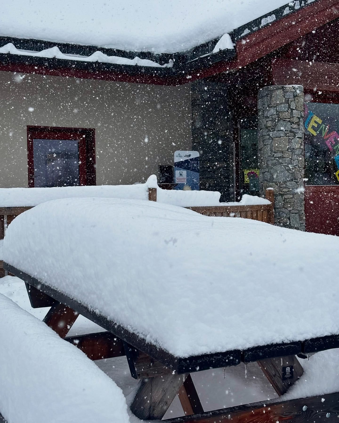
Temperatures plummeted to -20°C, and strong gales caused high avalanche danger. However, sunnier skies have returned, and snowmaking machines are active in low-lying resorts, improving conditions significantly.
France Forecast
Clear skies and rising temperatures are expected heading into the weekend, with highs ranging from -10°C to +5°C, ideal for enjoying the fresh snow.
Italy Report
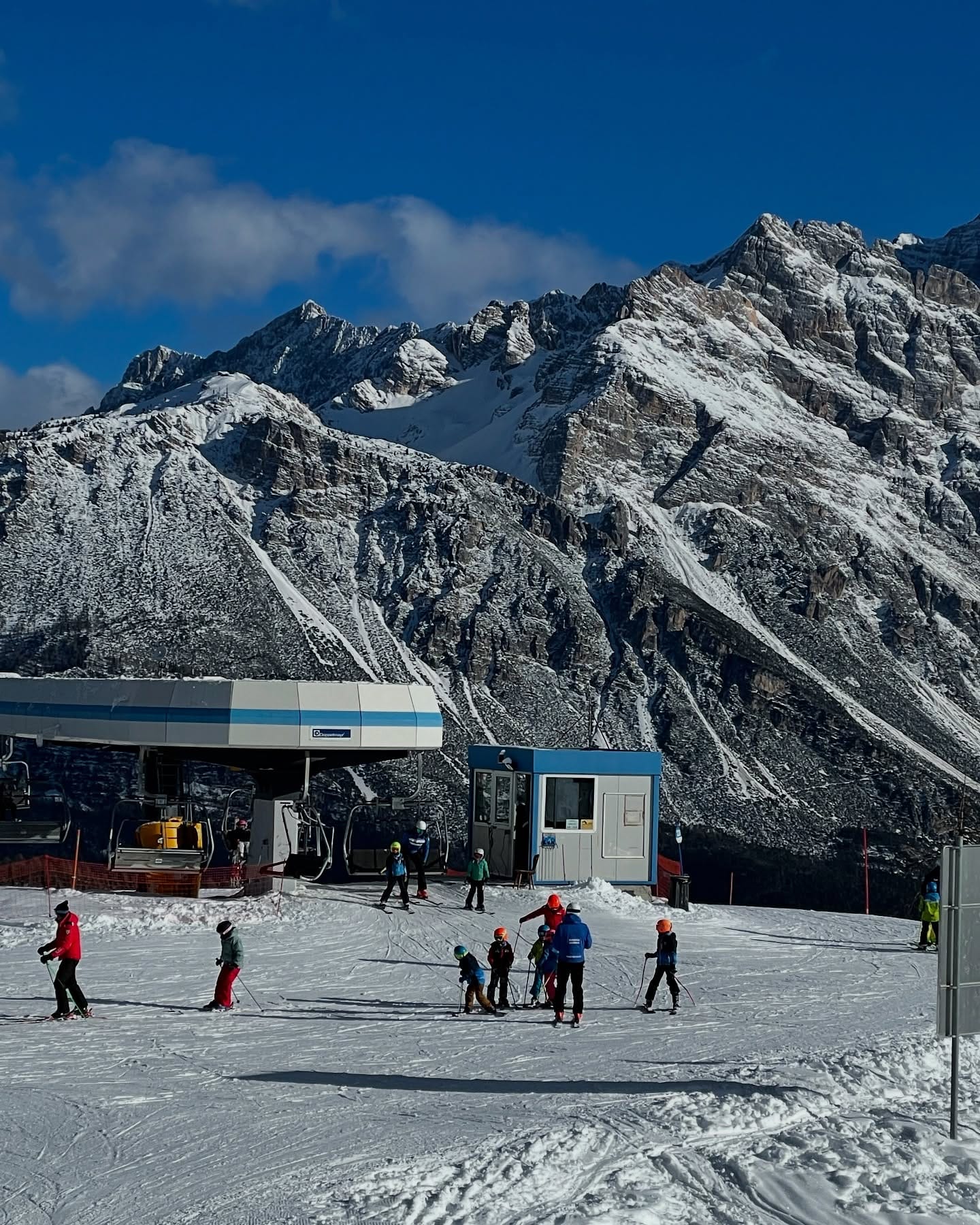
Approximately 70% of Italy’s ski slopes are now open, thanks to fresh snowfall and low temperatures since Friday. The Dolomiti Superski region is close to 100% operational, with Val Gardena (50/50 cm / 20/20”) and Kronplatz (10/30 cm / 4/12”) among the highlights.
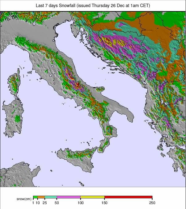
The north and west of Italy saw the heaviest snowfalls, with some areas receiving nearly a meter (40”) over the past seven days, while snowfall further south and east was more limited.
Italy Forecast
Sunny weather is expected for most Italian ski areas through the weekend, with temperatures ranging from -5°C to +5°C.
Switzerland Report
Switzerland transitioned from warm, wet conditions to heavy snowfall by late last week. Crans Montana posted one of the most significant 24-hour snow totals with 37 cm (15”) overnight, followed by 1 meter (40”) in 24 hours Sunday-Monday, bringing a four-day total to 140 cm (56”).
The 4 Valleys around Verbier (30/80 cm / 12/32”) now have about two-thirds of their terrain open. Other areas like Samnaun (30/50 cm / 12/20”) are also offering extensive terrain.
Switzerland Forecast
After a snowy start, sunny skies and daytime highs of +3°C to +5°C are expected through Christmas. More unsettled weather may return later in the weekend.
Pyrenees Report
Temperatures dropped below freezing in the Pyrenees last week, bringing moderate snowfalls of 5–15 cm (2–6”) most days, with some areas receiving up to 30 cm (12”). Major resorts like Baqueira Beret (40/80 cm / 16/32”) and Andorra’s Grandvalira (30/75 cm / 12/30”) now have nearly all terrain open.
Pyrenees Forecast
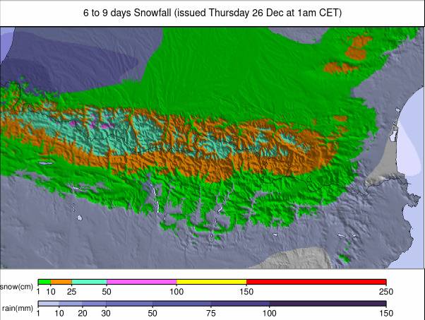
Sunny skies and warmer temperatures (+4°C to +8°C) are expected through the weekend.
Scandinavia Report
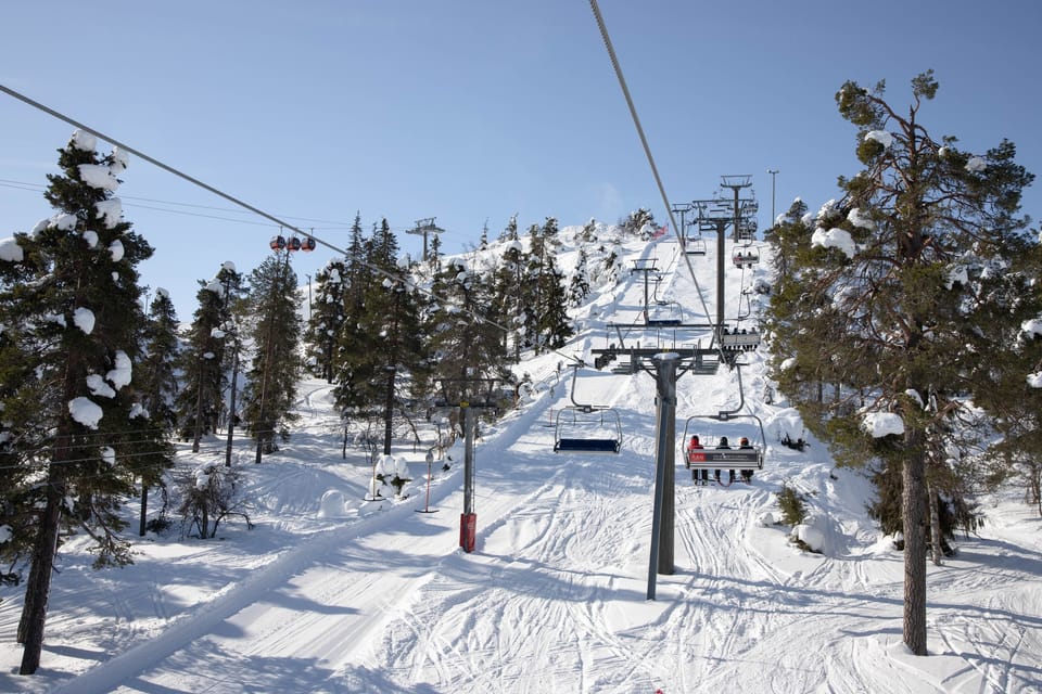
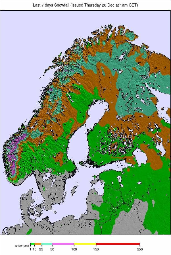
Scandinavia continues to recover from a warm autumn, with more reliable sub-freezing temperatures and light, fluffy snowfalls. Norwegian resorts like Voss (50/70 cm / 20/28”) reported 30 cm (12”) in 24 hours. Sweden’s Åre (45/70 cm / 18/28”) is about 40% open, making it the largest skiable area in the region.
Scandinavia Forecast
Snowy weather continues in the north and west, with temperatures ranging from -5°C to -10°C. As temperatures climb above freezing, southern areas may see rain or sleet.
Eastern Europe Report
Eastern European ski regions experienced light to moderate snowfalls, with sunny spells in between. Bulgaria’s Bansko (0/130 cm / 0/52”) offers 90% of slopes open but warns of high avalanche danger. Slovakia’s Jasna (40/60 cm / 16/24”) reported 30 cm (12”) of new snow.
Eastern Europe Forecast
Temperatures will stay between -10°C and freezing, with 10–20 cm (4–8”) of additional snow expected by the weekend.
Scotland Report
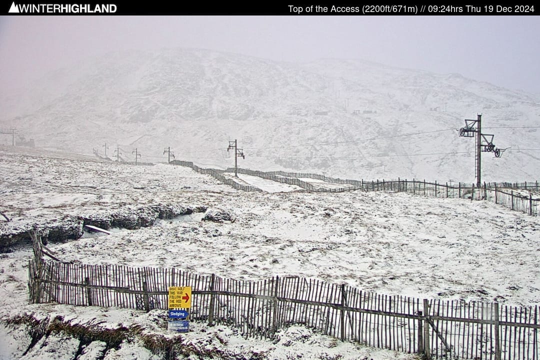
Scottish ski centers faced warm weather and gales, limiting operations despite fresh snowfall last week. Glencoe, Cairngorm, and Glenshee aimed to open for Christmas but struggled with weather disruptions. Due to snowmaking efforts, limited terrain is open.
Scotland Forecast
Warm conditions will persist into the weekend, but skies are expected to clear, with freezing overnight lows returning by week’s end.
