Europe Weekly Roundup #272
(Updated 18 December 2024) A comprehensive review of snow conditions, weather, and updates for Europe's winter sports destinations.
Austria and France Brace for Subzero Temperatures After Midweek Thaw
- Variable Weather Across Europe: After heavy snowfalls and sunny conditions, many regions faced a midweek thaw with temperatures reaching up to +12°C. However, colder weather and fresh snow are expected heading into the weekend.
- Resorts Ramping Up for Peak Season: Major ski areas in Austria, France, Switzerland, and Italy have opened significant portions of terrain, with standout performances from Les 3 Vallées, Ischgl, and Val Gardena.
- Diverse Regional Highlights: Scandinavia saw heavy snowfalls in Norway, while Eastern Europe maintained stable conditions and steady snow. Scotland anticipates reopening with colder temperatures and some fresh snow soon.
WORLD OVERVIEW
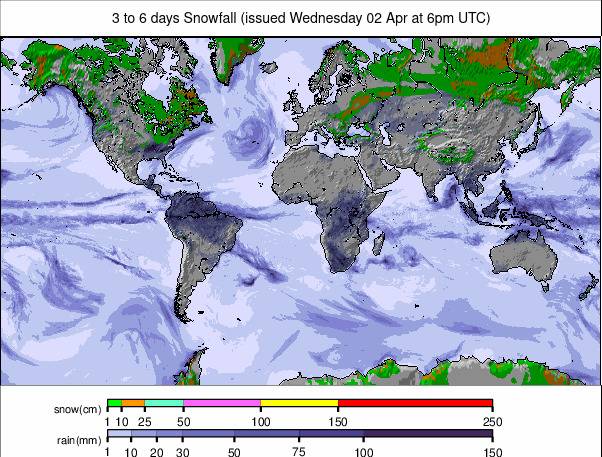
Western North America’s Pacific Coast has posted the best snowfalls of the past week. The snow has been falling for much of the last seven days, with many areas seeing two feet (60cm) or more and some as much as five feet (150cm) after some huge weekend accumulations. Unfortunately, the snow arrived with gale-force winds and low visibility, closing some centres for a while, but now that the skies are clearing there's plenty of fresh powder to enjoy. Unfortunately, warm temperatures marked the start of this week in Europe, with highs above +10C at 1,000m altitudes in lower valleys. Resorts with high-altitude terrain were not impacted so badly, but lower centres with the thinnest cover were the worst hit. Temperatures are cooling again now, though, and there's more snow forecast, so hopefully it's a blip. The weather stayed colder further north, where Norway has reported some good snowfalls, and in the east where it continued snowing and didn’t get so warm, staying closer to freezing.
EUROPE OVERVIEW
It's been a largely sunny week in much of Europe after the heavy snowfall at the start of last week. There were some lighter snowfalls along with gusty winds at the beginning of this week before things turned sunny again. Temperatures also made an unwelcome rise, most noticeable below above 1500m, where daytime highs of +10C were reached, not good news for ski areas trying to build bases down to the valley floors. The good news is those temperatures are now dropping again and there's more snow forecast. Pretty well all European nations that have ski lifts have now opened for their 24-25 seasons with Portugal one of the last, since Friday.
AUSTRIA REPORT
Most Austrian centres are open now and the competition is fierce between the big pass systems to open the most terrain. Kitzbuhel (53/58cm / 22/23”) made much of opening all the links on its huge area and making it possible to ski again from Salzburgerland into Tirol at the weekend, meaning it has jumped to offering the second most in the country. There was some light snowfall on Sunday/Monday but most areas only got a few centimetres (an inch or so) before getting into snow pack preservation mode as temperatures rose as high as +12C in valleys, +5C above 2000m altitudes, impacting early season cover. Ischgl (20/50cm / 8/20”) continues to offer the most open terrain in the country (190km / 120 miles)
AUSTRIA FORECAST
The warm temperatures at the start of this week are due to keep dropping now with snowfall expected to return over the next few days. Temperatures are dropping so fast they could be below freezing around the clock by the weekend with overnight lows going into Christmas week below -10C if current models prove correct.
FRANCE REPORT
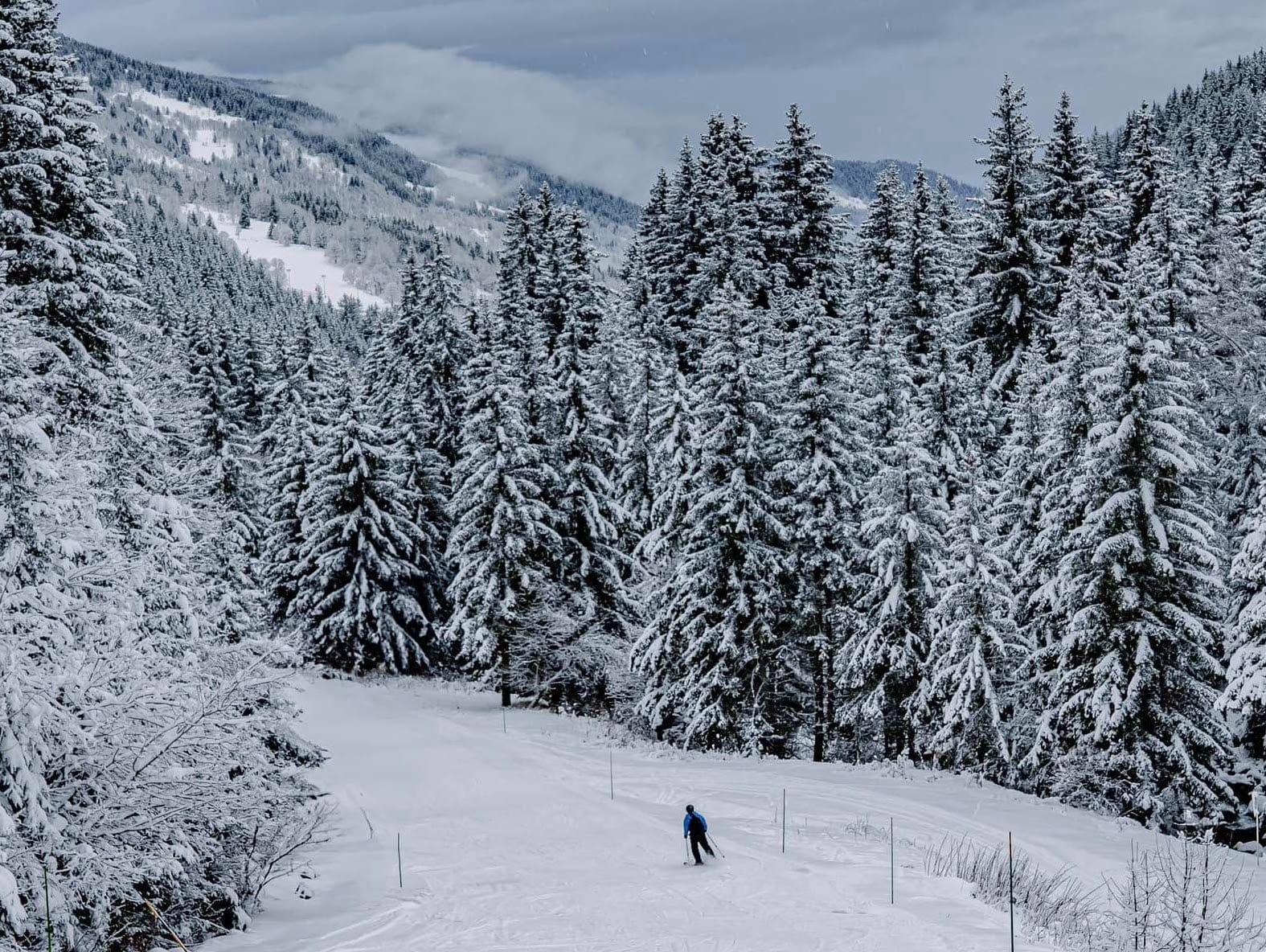
It’s been a big week in the French Alps with more of the world’s giant ski areas including Paradiski (30/69cm / 12/28”) (Les Arcs and La Plagne) and Les Portes du Soleil (0/50cm / 0/20”) (Avoriaz, Morzine, Les Gets, Chatel et al) opening for the 24-25 season. In the latter’s case it was “pre-opening weekends for areas like Chavannes at Les Gets with full area opening due for Christmas week). They join Les 3 Valleys which is now posting the most terrain open in Europe and probably the world after a big expansion of what it has opened already ahead of last weekend. As to the weather, as with the rest of Western Europe after some glorious cold, sunny conditions into the weekend temperatures have been rather warm this week, particularly impacting low-lying centres, but it is starting to cool again now.
FRANCE FORECAST
Temperatures have continued to fall with overnight lows expected down towards -10C by the weekend. Another weather system moving in is expected to bring moderate fresh snowfall to the end of the week too.
ITALY REPORT
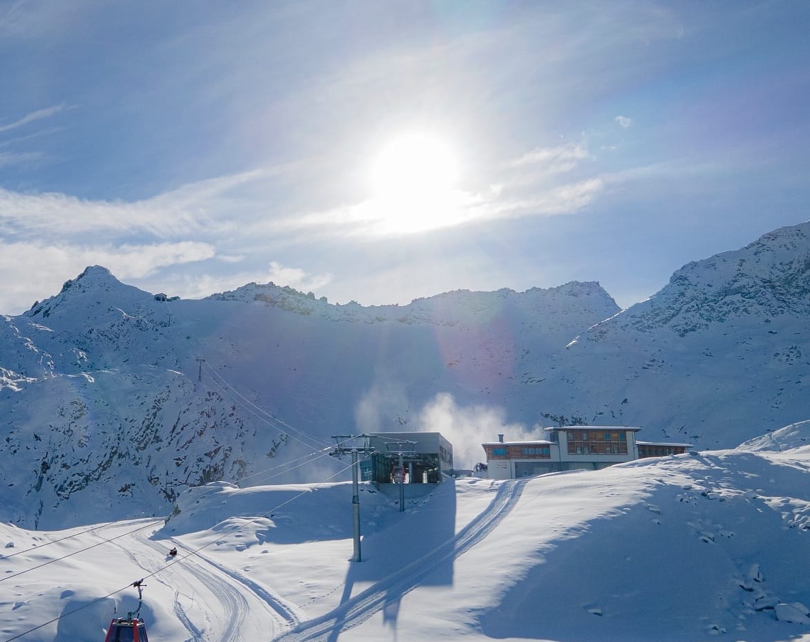
Italy too has had a largely dry and often sunny week, with just a few light snow showers passing through and some regions escaped them altogether. In common with much of Europe, most Italian areas saw temperatures rise over the first few days of the week, hitting +8 to +12C at resort bases, not good news for thin cover down low at this early part of the season. Fortunately, temperatures have begun dropping again now though. Bormio is particularly concerned about that happening having had its FIS assessment day for hosting its famous downhill this month set back to ensure snow cover will be adequate in time. Val Gardena (50/50cm / 20/20”) continues to offer the most open terrain in the country, up to 175km (10 miles), nearing 100% open.
ITALY FORECAST
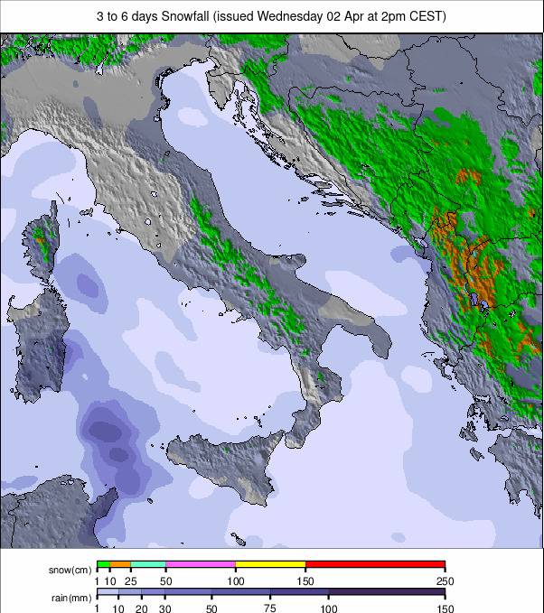
Temperatures are now falling again across Italy and it is expected to get very cold by the weekend, potentially in the minus teens. Snowfall is also in the forecast to end the week with 10-30cm (4--12”) accumulations expected.
SWITZERLAND REPORT
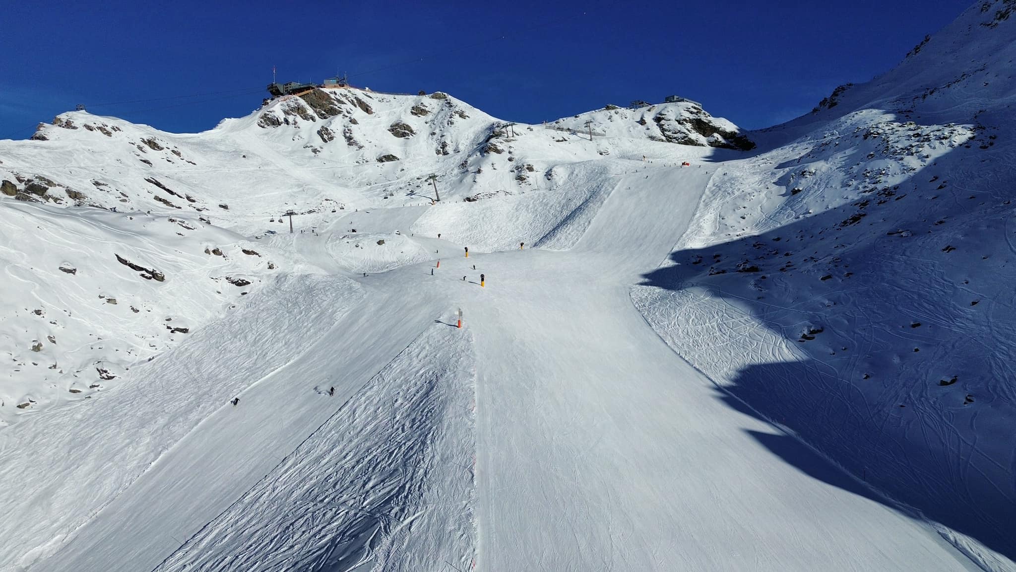
Swiss ski centres saw some light snowfalls at the weekend followed by a temperature spike under sunny skies to start this week, most noticeable down below 1500m where highs of +10C were reached. Along with opening up more terrain, there's a battle between resorts to offer more vertical to early skiers. Andermatt has taken a leading position thereby opening up a 1500 vertical metre descent from its Gemsstock mountain at 2,961 metres above sea level. Otherwise, most Swiss ski areas are now open and the amount of open terrain keeps increasing. The biggest jump has in fact been around Verbier (30/60cm / 12/24”) and the 4 Valleys which went from having only 50km (31 miles) of ruins open to nearer 200km (125 miles) taking second place in the table of current world’s most open terrain behind the 3 Valleys.
SWITZERLAND FORECAST
The warm sunny weather of the last few days will give way to much more cloud and the return of snowfall, with moderate accumulations expected to end the week. Temperatures will fall fast into the weekend too with lows down below -10C by Saturday.
PYRENEES REPORT
Ski areas in the Pyrenees first raced to open after last week's big snowfall then to open more terrain, with Spain's Baqueira Beret (40/75cm / 16/30”) reaching 70km (43 miles) of runs at the weekend. Andorra Grandvalira (30/85cm / 12/34”) reached 95km (60 miles). There were some beautiful days into the weekend with sunny skies after the snow, the only problem being strong winds at times. Unfortunately, temperatures rose again at the start of this week impacting lower centres with thin cover. In the wider region, the season also got underway at the weekend at Europe's most westerly resort, Portugal's Serra de Estrella, and most southerly, Spain's Sierra Nevada.
PYRENEES FORECAST
After the wear, sunny start to the week temperatures are moving back in the right direction with a return of subzero numbers and snowfall forecast.
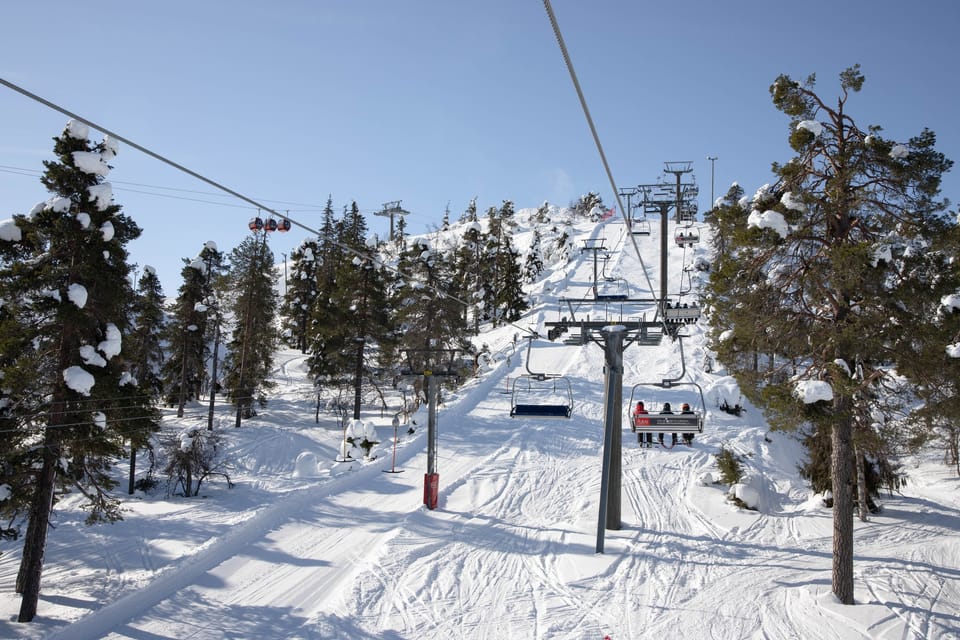
SCANDINAVIA REPORT
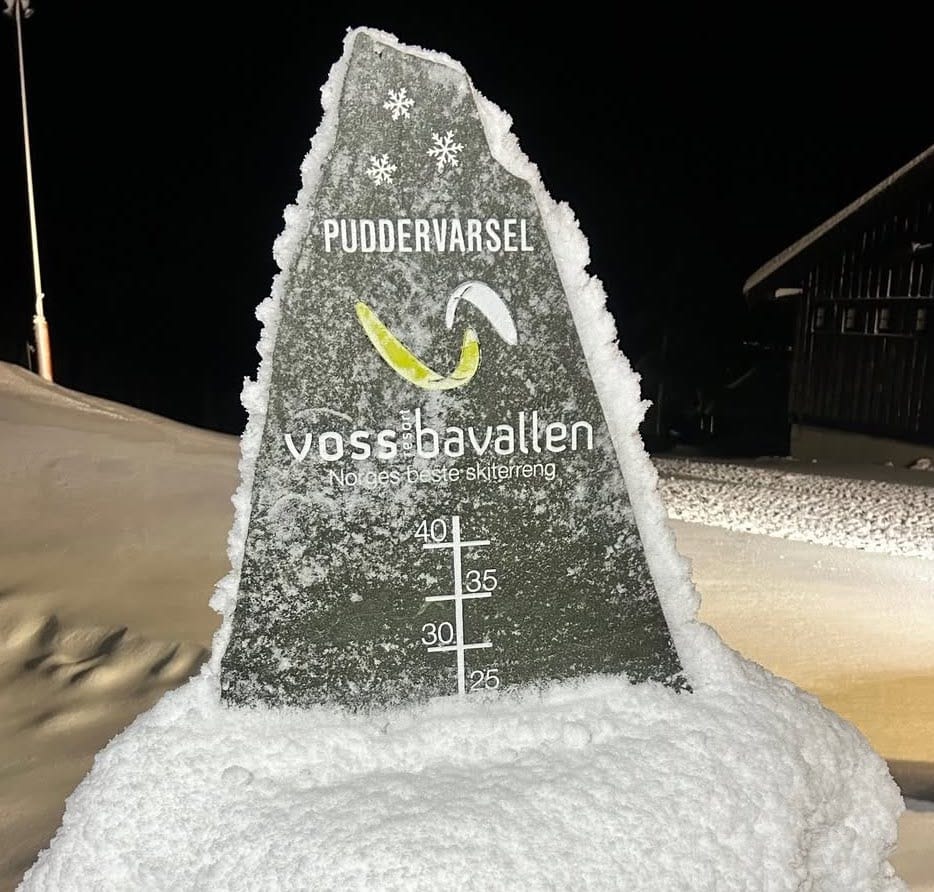
There have been increasingly heavy snowfalls in Scandinavia, improving conditions, with Western Norway doing especially well. Voss Resort reported -2 degrees, cloudy weather and a light breeze on Saturday morning with 22 cm (9”) of fresh snow over the previous 24 hours, some runs open top to bottom and “great conditions” overall. That was just the start though with snow dumping most days since, however, it is drier and colder further east with just lighter falls still. Most areas in the region still only have 5-25% of their slopes open. Most slopes are floodlit in Scandinavia now with Polar Night descending further north, although confined to the far north. Finland’s Levi saw its last sunrise until 1/1/2025 when the sun will break the horizon again at 12.05.
SCANDINAVIA FORECAST
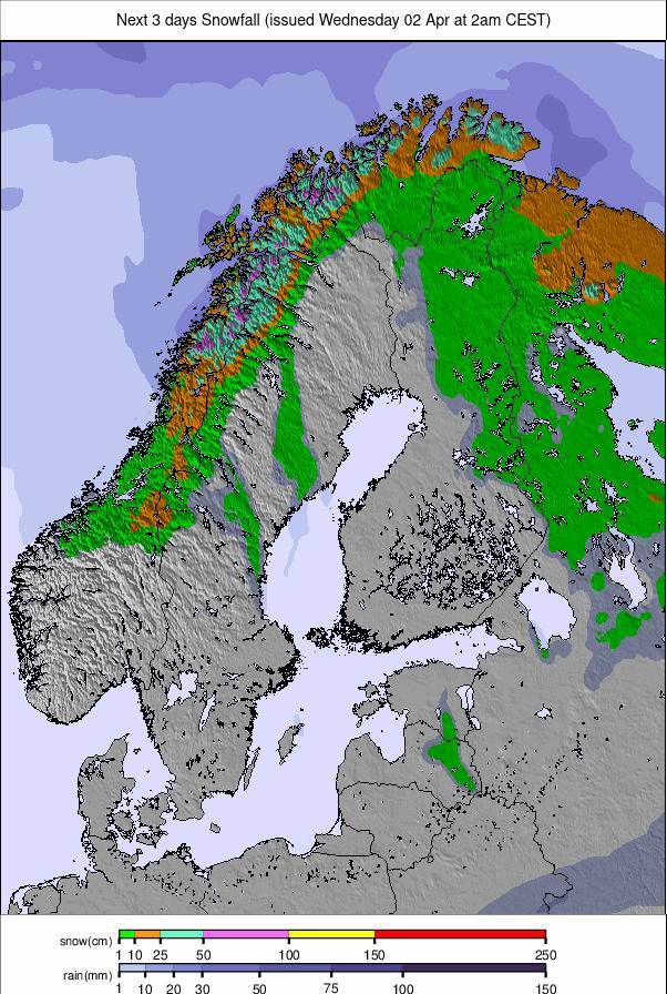
Heavy snowfall in Western Norway should carry on for a few more days before petering out. Elsewhere drier with more sunshine in the limited daylight hours, Temperatures are mostly below freezing, getting as far below as -20C in the far north.
EASTERN EUROPE REPORT
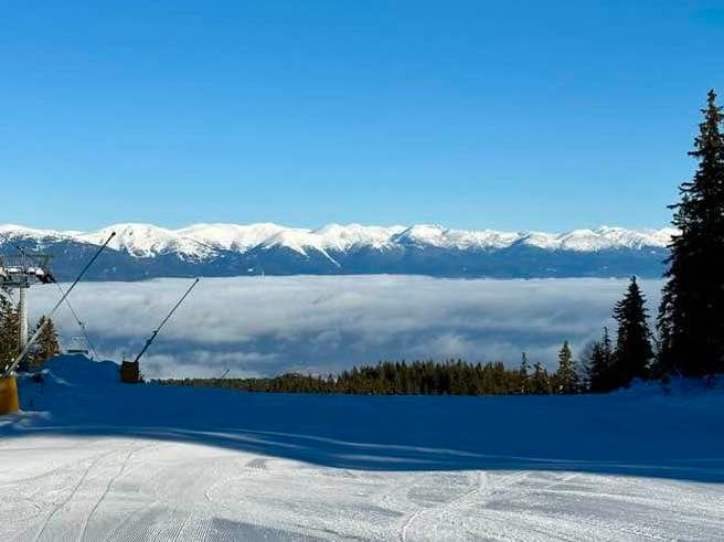
It’s been a changeable week in the East of Europe too, although most ski nations in the region missed out on the high temperatures this week that hit further west. Whilst Western Europe had a thaw temperatures stayed close to freezing and snow kept falling in the Northeast. As elsewhere, centres are opening more terrain as the main season approaches, Slovakia's Jasna (40/60cm / 16/24") has about the most, with 60% of its terrain open now. Conditions are particularly good for the early-season in Bulgaria with Bansko (20/120cm / 8/48”) reporting more heavy snowfall to start this week.
EASTERN EUROPE FORECAST
Mostly sunny is south Eastern Europe but with snowfall expected to start next week, temperatures in the -6 to +6C range. Further north more overcast, with light snow showers, temperatures in the -7 to +7C range.
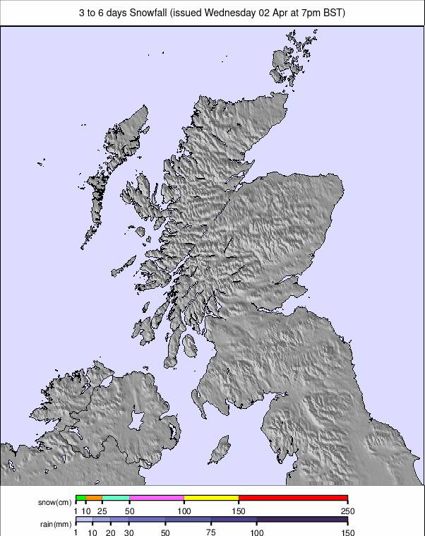
SCOTLAND REPORT
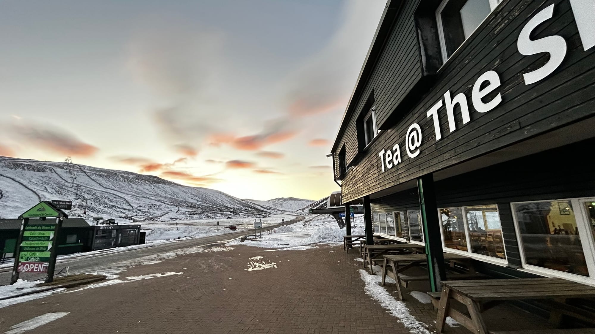
Scottish ski centres began opening last week with first Glencoe opening some natural terrain and then the Lecht a small area of machine-made snow near its base. Unfortunately, after a week of subzero temperatures and sunny skies, it started warming up at the weekend and that led to Glenshee deciding it wouldn't open early as it had earlier hinted it might, so it and Cairngorm expect to open this coming weekend thanks to all-weather snowmaking machines. Nevis Range doesn't plan to open until the February school holiday unless there's a lot of natural snowfall before then.
SCOTLAND FORECAST
It’s looking promising for colder temperatures and clear skies later in the week, with some snow shoer likelihood starting to firm up over the next few days.
