Europe Weekly Roundup #271
(Updated 11 December 2024) A comprehensive review of snow conditions, weather, and updates for Europe's winter sports destinations.
Alps Boast Up to 105cm of Fresh Snow as Ski Season Hits Full Swing
- Europe Sees Unsettled Weather: Heavy snowfalls have blanketed the Alps, Pyrenees, and other key regions, improving ski conditions but bringing challenges like high winds and avalanche risks.
- Resorts Open Across the Continent: Major resorts in France, Austria, Italy, and Switzerland are operational, with impressive terrain openings boosted by snowmaking and recent storms.
- Forecast Highlights: Cold temperatures and intermittent snow are expected in most regions, setting the stage for excellent conditions heading into the weekend
World Overview
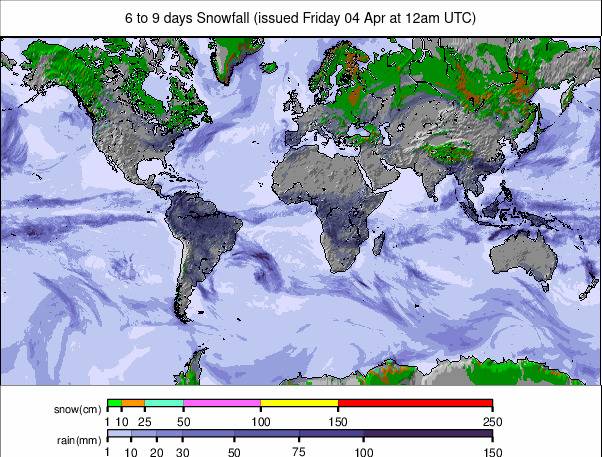
After a fairly dry forecast snowfall returned to the Alps with 7-day totals topping the metre (40") mark for some areas in the west of the region. The snowfall was widespread though and most areas across the north including the central Alps have had at least 30cm (a foot) followed by cold temperatures, setting things up nicely for the onslaught of the main season at the end of next week. It's also good news for the Pyrenees which saw similar accumulations leading to a rush to open ski areas closed up to now by warm weather. Elsewhere in Europe, the picture is mostly positive with resorts continuing to open as scheduled, or early, thanks to average-good snow cover for this early part of the season. A quieter week for North America, but resorts have been opening more terrain with the biggest, Whistler Blackcomb, hitting 5500 acres open. On the East Coast, which has had the most challenging conditions, most ski areas have had more snowfall, although there has also been another warmer temperatures spike in the last few days. There's been a mass opening of ski areas in the Midwest following cold and snowy weather there and the best conditions for snow depth continue to be the Pacific Northwest. In the wider world, Japan's season is also taking off, with some heavy snowfall over the past week and most major resorts now open.
EUROPE OVERVIEW
Following a few fairly quiet weeks of snowfall across much of Europe, weather systems have moved to allow more unsettled conditions across much of the continent. That's meant some heavy snowfall for many areas, although also at times powerful winds or thick hill fog and sometimes rain for some. The snowfall has improved things in the Alps though, where up to 105cm (42") was reported in total up high this week in France. Areas benefitting most were particularly in the north and west and the Pyrenees in particular where ski areas are finally starting to open after weeks of delays due to warm, dry conditions. In the Alps, most of the big resorts are now open, with almost all of the final 20/30% opening this weekend. As usual for early December conditions are best above around 2,000m altitude but that said some ski areas with most of their terrain below that level have still managed to open large swathes of it thanks to snowmaking in colder temperatures. Overall the picture is average-good, in terms of terrain open at this point in the season in most areas.
AUSTRIA REPORT
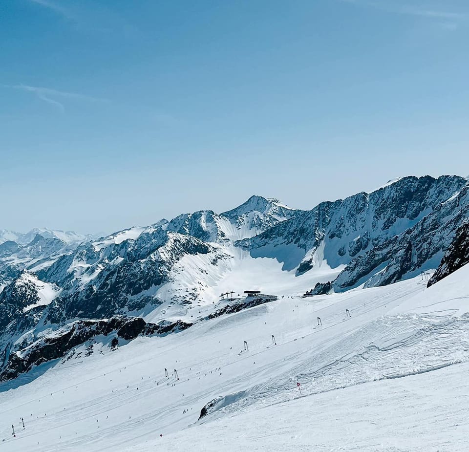
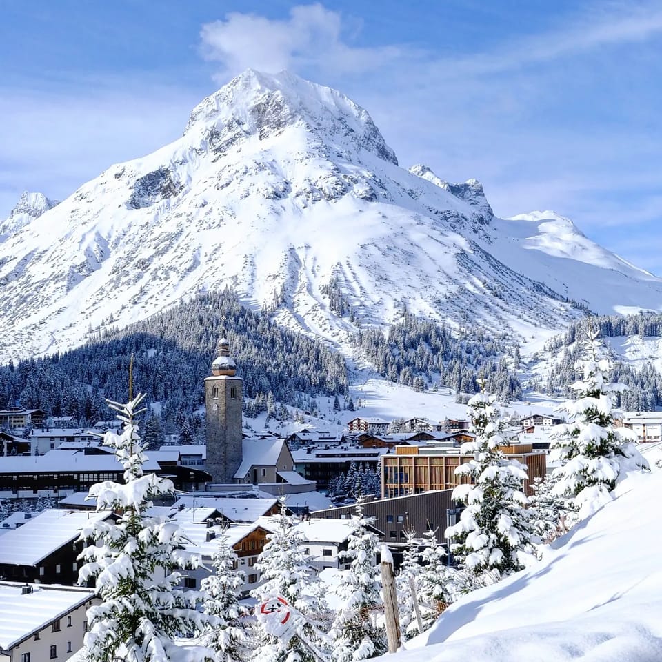
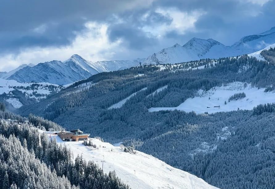
More than half of Austria's leading resorts are now open with the lists turning at over 100 centres. It's been a largely cold and frequently snowy few days since the weekend with the freezing point dropping to the valley floor at times. See/6day/mid">Zell am See posted a 20cm (8") accumulation on Saturday and three-day totals got as high as 65cm (26") on the Stubai Glacier. The battle to open the most terrain continues with the top spot changing almost daily depending on the conditions. However, the newly opened Mayrhofen (0/50cm / 0/20") overtook Ischgl (20/45cm / 8/18") by opening with more than 80% of its terrain, around 120km (75 miles) of slopes from day one. The Arlberg (5/55cm / 2/22") is also now open but so far has only opened about a quarter of its terrain.
AUSTRIA FORECAST
The recent snowfall is expected to peter out over the next day or so with a return to sunny skies through to the weekend. It should stay cold though, with highs just a few degrees above freezing, and lows around -12C. Turning more changeable with (at this stage it appears light) snow showers returning Saturday/Sunday.
FRANCE REPORT
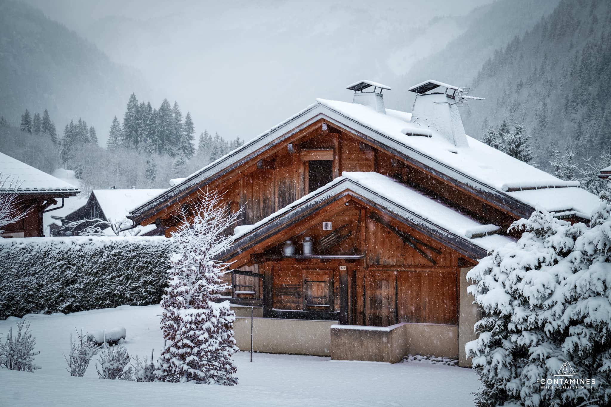
A fortnight after starting the French ski season the big guns have been coming out this week with all four sectors of the world's largest ski area, the 3 Valleys, opening for their 24-25 season, as well as the first parts of the Chamonix Valley, the skiing at Grands Montets. A couple of the big areas – Portes du Soleil and Paradiski – still have not started their seasons, that's next weekend, but La Plagne joined Avoriaz in opening for "preview weekends". Serre Chevalier (35/60cm / 2/73") was another of the bigger French resorts to start its season at the weekend. It's been an amazing few days for snowfall, particularly from Friday through Monday when most French resorts posted at least half a metre of snowfall and some like Val d'Isere (50/90cm / 20/36") and Val Thorens (75/115cm / 30/46") nearer a metre. The avalanche danger has risen to 3 on the scale to 5, considerable, in many areas as a result.
FRANCE FORECAST
It's turned sunny, but remained very cold, since Tuesday and that will continue through most of this week, with light-moderate snowfall expected to return from the weekend.
ITALY REPORT
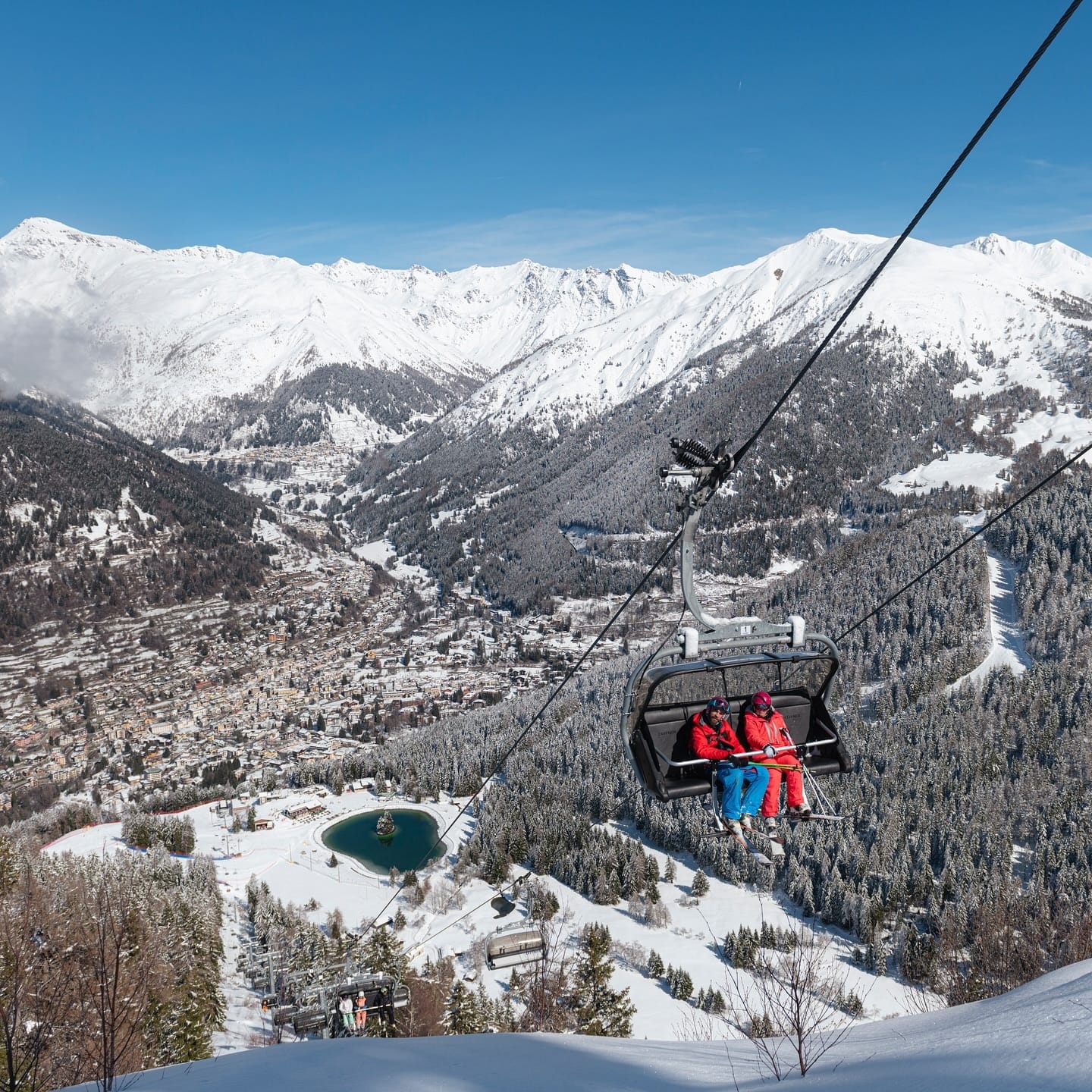
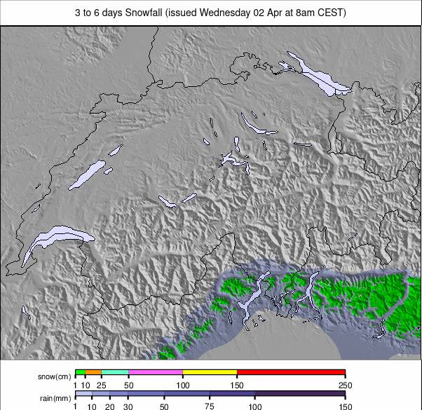
Val Gardena (50/50cm / 20/20") made a splash at the weekend, opening for the season with 150km (93 miles) of slopes open already, the most not only in Italy but for a time all of Europe until Ischgl promptly increased their open terrain to 155km (97 miles). There was significant snowfall in the west and north of the country too over the weekend and start of this week with Madonna di Campiglio (43/92cm / 17/37") posting 65cm (26") in 72 hours and others posting 20-50cm (8-20") in the same period., Much less, but some snow in the Dolomites. Around 60 Italian centres are now open, representing close to two-thirds of the country's main centres, most of the rest will join them this coming weekend. It has been cold and overcast across Italian slopes since the weekend, with some snow showers since the week but generally not so much as further north and west.
ITALY FORECAST
Mostly dry and frequently sunny across Italian mountains through the remainder of this week. Temperatures are down to -15C at times and only get a few degrees above freezing in the daytime. Light snowfalls are probable through the weekend.
SWITZERLAND REPORT
Around 50 Swiss centres are now open representing around half of the country's bigger resorts. As elsewhere in the Alps there have been some good snowfalls here too since the weekend, heaviest in the north and west. Although these conditions, which included strong winds at times, closed some slopes for periods, the battle continues to be now to open the most terrain. Zermatt (15/150cm / 6/560") continues to lead there with about 100km (63 miles) of slopes accessible already although that has gone up and down a lot this week with the weather. The St Moritz (20/25cm / 8/10"0 and Verbier's 4 Valleys (20/60cm / 8/24") are both at about 50km (31 miles) of slopes. Verbier reported 17cm (7") of fresh snowfall in 24 hours at the weekend as it staged its Santa-themed official opening day and a weekend total of nearer 50cm (20").
SWITZERLAND FORECAST
A mixture of sunshine and cloudy skies through the coming week with some light snowfall after the bigger dumps at the weekend. Remaining cold, rarely getting above freezing with lows down to -14C.
PYRENEES REPORT
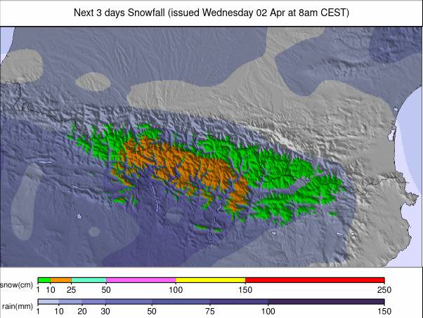
The ski season in the Pyrenees has finally gotten underway with some smaller resorts opening at the weekend, albeit initially with very limited terrain. However, snowfall over the past few days means that the region's big resorts have announced they'll be opening over the next few days. The largest area in the region, Grandvalira (10/70cm / 4./28") has opened, initially with about 15% of its slopes open. The pal Arinsal sector (40/70cm / 16/28") has half of its runs open already though. Most other resorts will open by the weekend, including Spanish giant Baqueira Beret.
PYRENEES FORECAST
Moderate snowfall continues through to the weekend, easing off to a sunny weekend. Temperatures remain low, generally in the region of -2 down to -12C.
SCANDINAVIA REPORT
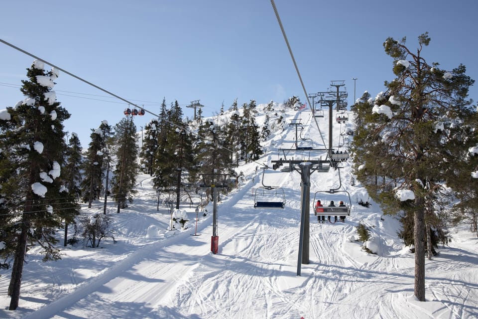
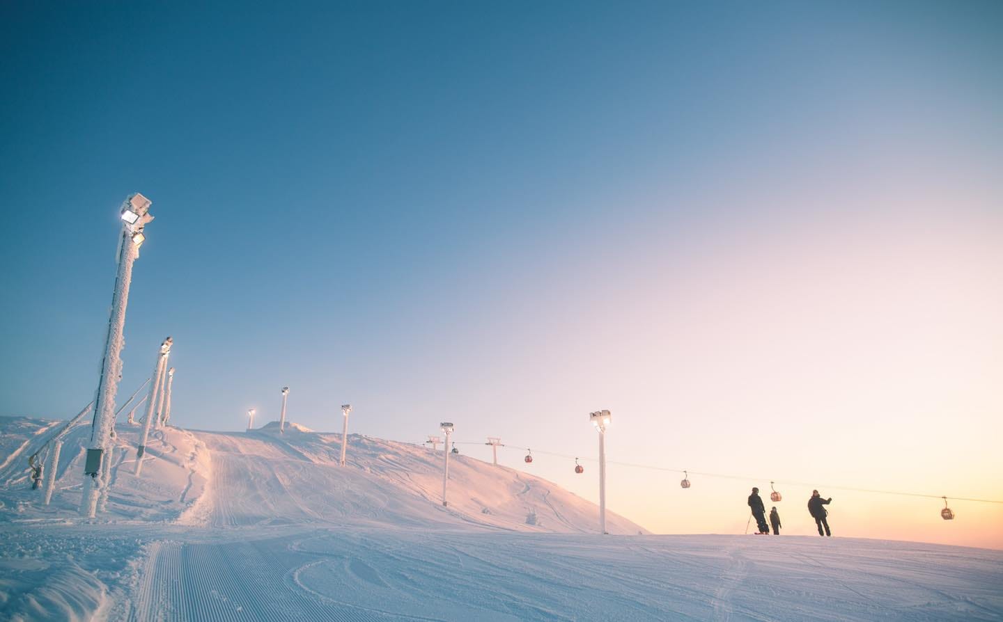
Most of Scandinavia's bigger ski areas have opened in the past week, although initially with only limited terrain. Temperatures have been much colder though and most of the region's resorts have seen fresh snowfall. Big names now open include Sweden's Are (10/19cm / 4/8"), Hemsedal (15/18cm / 6/7") and Trysil (10/10cm / 4/4") in Norway. Each only has a few kilometres of slopes open so far though with very thin bases. There was also disappointment at Idre Fjall at the weekend as the first Dual Moguls event of the FIS Freestyle Moguls World Cup season had to be cancelled due to dense fog. Further north in Finland Levi has now entered its three weeks of polar night before the sun reappears above the horizon at the start of January.
SCANDINAVIA FORECAST
A real mix of sunny spells, clouds and light snow showers with the far north of the region increasingly located within the area of Polar night. Temperatures are generally constantly subzero now, ranging from zero down to -12C.
EASTERN EUROPE REPORT
It was a big weekend in Eastern Europe with lots of big-name ski areas opening for the season in the main ski nations. Bulgaria's Bansko (10/125cm / 4/50") opened a week early with great early-season conditions. In Slovenia, the famous Kranjska Gora ski area opened and in Czechia, Špindlerův Mlýn began its 24-25 season with almost 15 km (9 miles) of slopes available from day one.
EASTERN EUROPE FORECAST
Cold but often sunny in the Northeast for countries like Czechia, Poland and Slovakia. Temperatures are down to about -8C, highs of _2C, and snowfall starting to return early next week. A sunny weekend in Bulgaria and the Southeast of Europe, with temperatures in the -5 to +5C range.
SCOTLAND REPORT
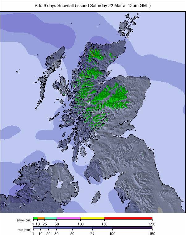
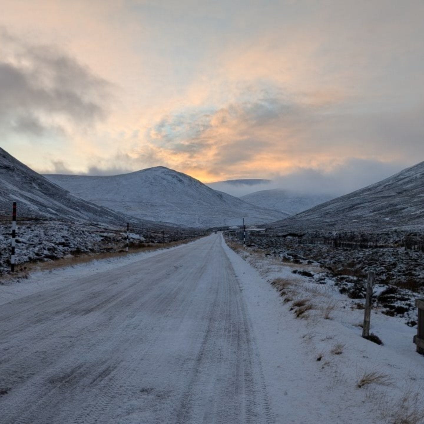
Scottish ski hills were battered by the northern edge of Storm Darragh at the weekend. This led to access road closures as well as some snow accumulation at the weekend. The weather has turned cold and clear, dropping well below freezing since Sunday evening. The Lecht has announced it will have very limited terrain around its beginner slopes open from the weekend thanks to machine-made snow. Glencoe is providing chairlift access to ski touring terrain up at its summit above the main ski areas where lifts aren't yet running. Cairngorm above Aviemore and Glenshee are currently sticking to target Christmas week opening and Nevis Range near Fort William is unlikely to open before the February school holidays unless there's a big snowfall before then.
SCOTLAND FORECAST
Staying cold and dry in the Highlands with plenty of sunshine into the weekend. More unsettled from the start of next week with the possibility of rising temperatures.
