California Snow Depths Up to 110% Average, After Being At 25% in December
The latest big storms to hit North America’s West Coast has put snowfall totals in the region up above the seasonal average for the first time this season ...a scenario that seemed unlikely two months ago.

The latest big storms to hit North America’s West Coast has put snowfall totals in the region up above the seasonal average for the first time this season ...a scenario that seemed unlikely two months ago.
America’s Pacific Coast saw very little precipitation in the first half of the ski season, including the Thanksgiving and Christmas Holiday periods, conditions blamed on a very strong El Nino weather system from the Pacific which typically brings warm, wet weather to the region while impacting the weather over a wider area.
Much of North America has suffered a warmer and drier ski season and below average snowfall totals, but the past few months of fairly regular big snowfalls have belatedly shown a big improvement in snow depths with most major North American areas now fully open as the season ends for many.
The multi-day storm currently hitting the Pacific Coast has also taken some areas in the region back to their seasonal average snowfall totals having been way off this a few months ago.
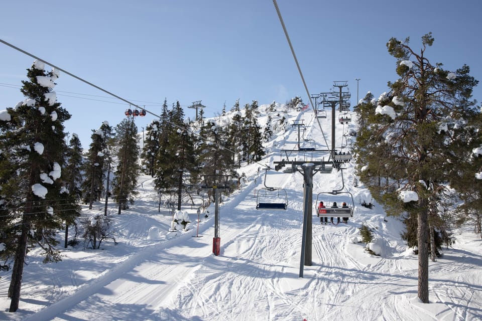
The Palisades at Tahoe (pictured above), which recently extended its season to the end of May, reports it had nearly 13 feet (nearly 4 metres) of snowfall in March and reached 395 inches (10 metres) of snowfall this season, a few inches off its 400 inch annual average.
Separately, California‘s Department of Water Resources conducted its April snow survey a few days ago at its 130 test sites, and found the average statewide snow water equivalent is 28.6 inches (73cm), or 110% of the April 1 average, up from 25% in December and 28% in January.


