Next Week's Arctic Blast to Bring Snow Across the UK
UK snow update for November 2024. Prepare for colder conditions.


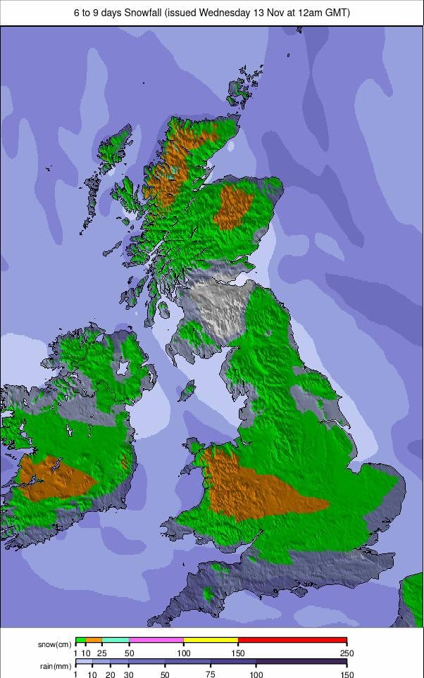
The UK is bracing for a blast of Arctic air next week that is expected to bring significant snowfall to many parts of the country. Our weather models show an area of high pressure over Scandinavia that will draw cold air from the Arctic, potentially causing snow, ice, and sub-zero temperatures.
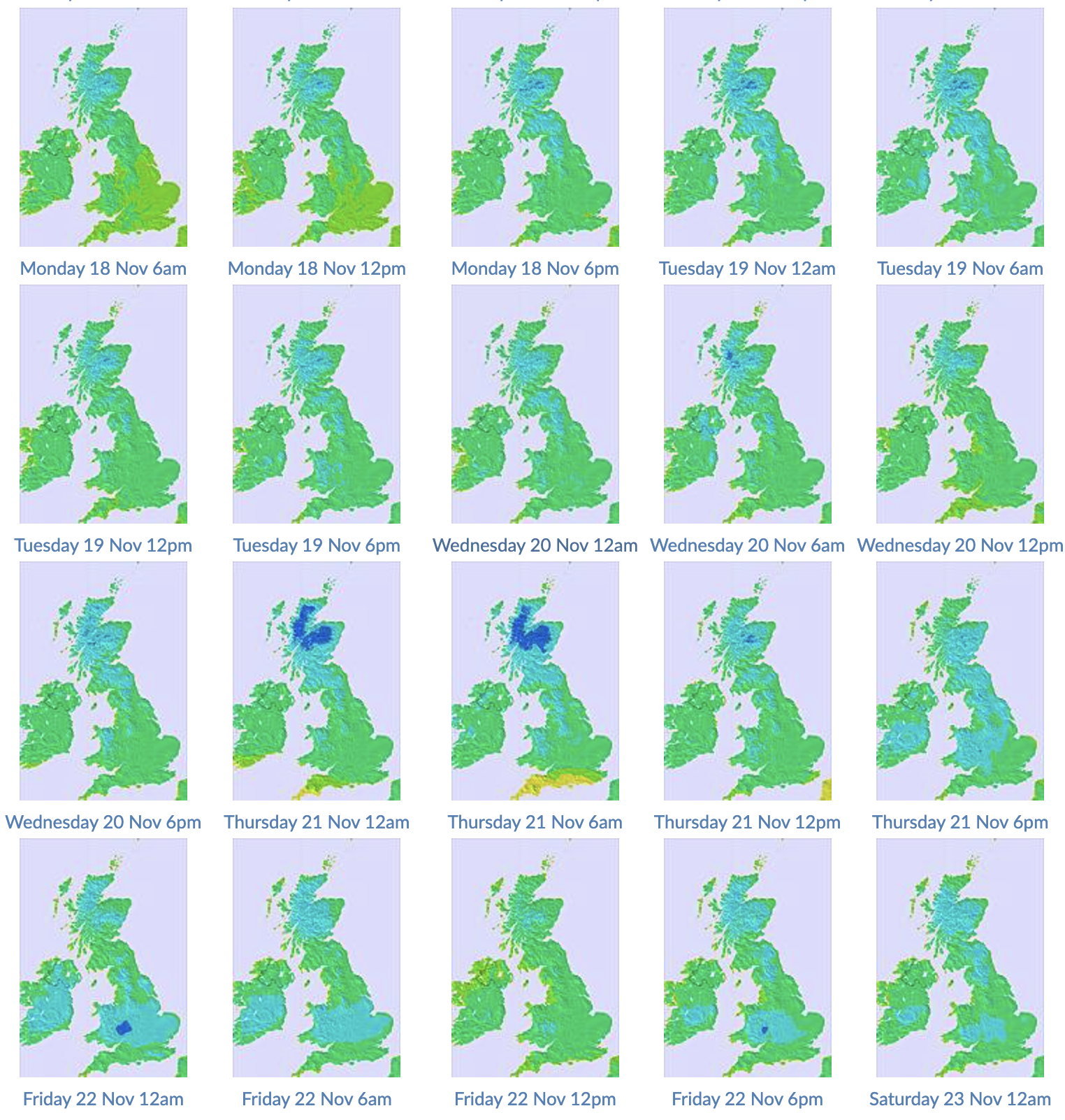
The cold air is forecast to arrive mid-week, with snowfall potentially starting as early as Wednesday. The snow is expected to be most widespread across northern and central parts of the UK, with the potential for significant accumulations in some areas. However, the Met Office has cautioned that it is still too early to provide detailed predictions on the exact locations and amounts of expected snowfall.

In addition to the snow, the cold snap is likely to see temperatures plummet well below freezing overnight, potentially reaching as low as -5°C in parts of Scotland and northern England. This raises the risk of icy conditions on roads and pavements, which could disrupt travel.
Stay informed by checking our UK snow maps as the forecasts update.
