Another Major Storm Hits California
An intense weather system is currently hitting Californian ski areas and is currently expected to deliver up to 4 feet (1.2 metres) of snow to higher slopes in a 36-48 hour period, up to Friday morning.
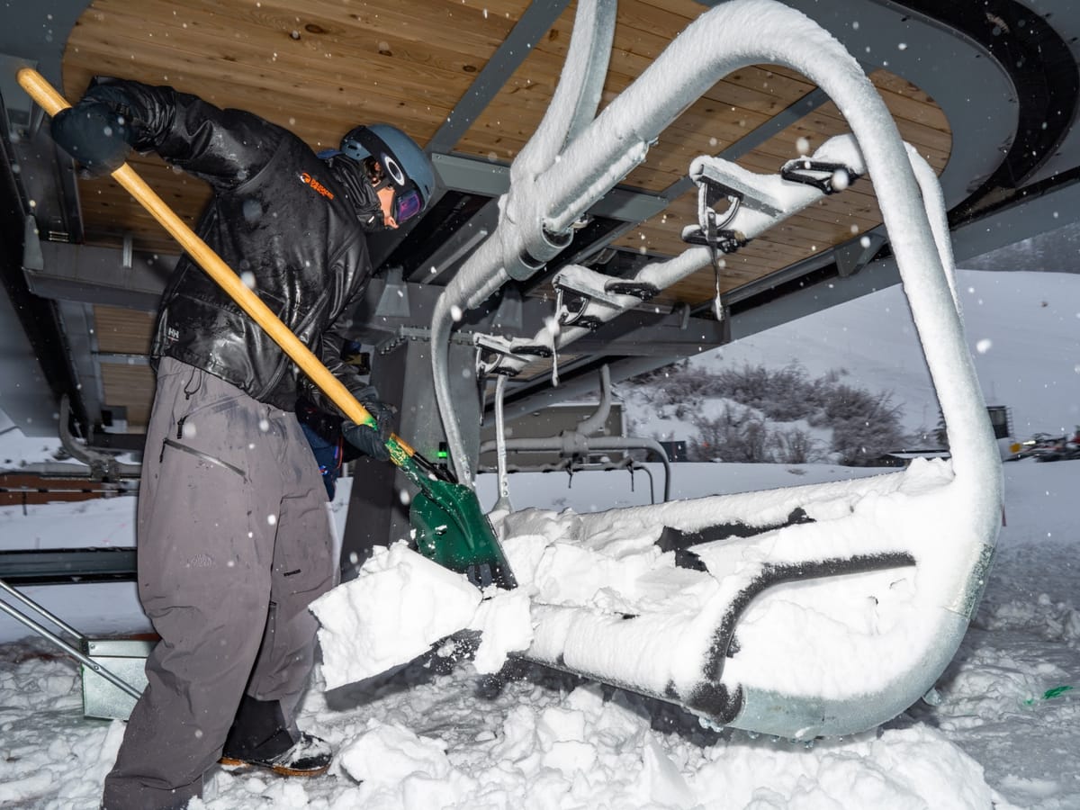
An intense weather system is currently hitting Californian ski areas and is expected to deliver up to 4 feet (1.2 metres) of snow to higher slopes in a 36-48 hour period, up to Friday morning.
“We're on track to see 3-4 feet of new snow by Friday morning up top! We'll have delayed openings Friday as our teams perform avalanche mitigation, dig out and de-ice lifts - so please bring your patience. Staggered openings have their benefits - you can ride multiple first chairs in one day! Download the Palisades Tahoe App for real-time lift and terrain updates,” a spokesperson for Palisades Tahoe advised skiers and riders there on Thursday.
So far the biggest accumulations that have been measured have been further south with June Mountain reporting 26” (55cm) in the last 24 hours and nearby Mammoth 16” (40cm). China Peak has reported 18” (45cm) in the same period.
The storm is being accompanied by high winds, which were also a feature last week when an ‘atmospheric river’ from the Pacific failed to deliver the expected huge snowfall, with rain dominating instead at lower elevations. Things did turn colder and there was more snow at the tail end of the storm however. Currently though most Californian resorts are reporting powder for the Valentine’s Day weekend.