
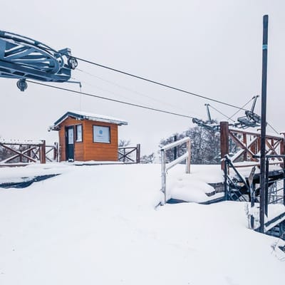
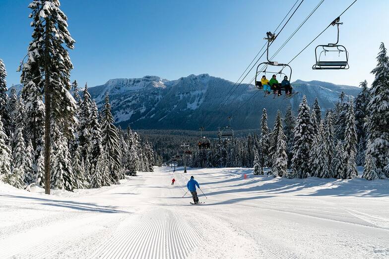
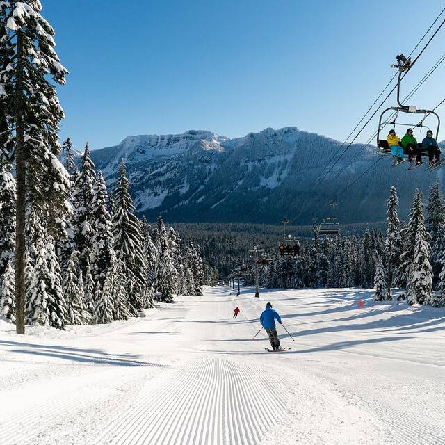
Pre-2025-Season Snowfall in Southern Hemisphere
Ski areas on three continents across the southern hemisphere have been reporting fresh snowfall ahead of the 2025 season, which is now only a month away.
Please sign in with your Snow-Forecast account details below.

The Summit at Snoqualmie Weather (Next 3 days): The snow forecast for The Summit at Snoqualmie is: Moderate rain (total 12.0mm), heaviest on Mon night. Temperatures will be slightly above freezing (max 4°C on Sun afternoon, min 1°C on Tue night). Winds increasing (calm on Sun night, fresh winds from the WSW by Mon night).
The Summit at Snoqualmie Weather (Days 4-6): Light rain (total 4.0mm) at first, then becoming colder with a dusting of snow on Sat morning. Freeze-thaw conditions (max 13°C on Thu afternoon, min -3°C on Fri night). Winds increasing (calm on Wed night, strong winds from the SW by Fri night).
| Resort | Snow Depth | Temp. (°C) | Wind (km/h) | Weather | ||
|---|---|---|---|---|---|---|
| Top Lift: | 2 | |||||
| Middle Lift: | 4 | |||||
| Bottom Lift: | 5 |
Latest snow reports near The Summit at Snoqualmie:

Sun 27 | Monday 28 | Tuesday 29 | Wednesday 30 | Thursday 1 | Friday 2 | Saturday 3 | ||||||||||||||
PM | night | AM | PM | night | AM | PM | night | AM | PM | night | AM | PM | night | AM | PM | night | AM | PM | night | |
some clouds | cloudy | some clouds | cloudy | mod. rain | light rain | light rain | cloudy | some clouds | some clouds | clear | clear | clear | clear | cloudy | light rain | light snow | snow shwrs | light snow | light snow | |
km/h | ||||||||||||||||||||
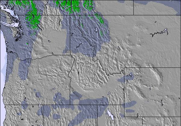
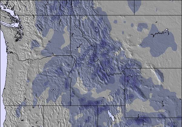
Snow map |  |  |  |  |  |  |  | |||||||||||||
— | — | — | — | — | — | — | — | — | — | — | — | — | — | — | — | — | 1.0 | — | — | |
— | — | — | — | 6 | 4 | 2.0 | — | — | — | — | — | — | — | — | 1.0 | 3 | — | — | — | |
max°C | 4 | 4 | 2 | 2 | 3 | 3 | 3 | 3 | 3 | 6 | 9 | 12 | 13 | 13 | 8 | 7 | 3 | -3 | 1 | 0 |
min°C | 3 | 2 | 2 | 2 | 2 | 2 | 2 | 1 | 1 | 5 | 7 | 10 | 12 | 9 | 7 | 3 | -3 | -3 | 0 | -2 |
0 | 1 | -1 | -2 | -3 | -1 | -1 | -2 | -3 | 3 | 6 | 8 | 12 | 6 | 3 | -3 | -10 | -3 | -3 | -2 | |
91 | 93 | 94 | 95 | 99 | 100 | 86 | 93 | 69 | 65 | 34 | 39 | 51 | 61 | 79 | 98 | 45 | 91 | 72 | 98 | |
1850 | 2100 | 1850 | 1900 | 1950 | 1850 | 2000 | 1750 | 2600 | 3300 | 3500 | 3450 | 3350 | 3200 | 2750 | 2050 | 1250 | 1000 | 1400 | 1050 | |
— | — | 5:56 | — | — | 5:54 | — | — | 5:52 | — | — | 5:52 | — | — | 5:50 | — | — | 5:48 | — | — | |
— | 8:14 | — | — | 8:15 | — | — | 8:16 | — | — | 8:17 | — | — | 8:19 | — | — | 8:21 | — | — | 8:22 | |
Moderate rain (total 12.0mm), heaviest on Mon night. Temperatures will be slightly above freezing (max 4°C on Sun afternoon, min 1°C on Tue night). Winds increasing (calm on Sun night, fresh winds from the WSW by Mon night).
Light rain (total 4.0mm) at first, then becoming colder with a dusting of snow on Sat morning. Freeze-thaw conditions (max 13°C on Thu afternoon, min -3°C on Fri night). Winds increasing (calm on Wed night, strong winds from the SW by Fri night).
Latest snow reports near The Summit at Snoqualmie:
| Top snow depth: | — |
|---|---|
| Bottom snow depth: | — |
| Fresh snowfall depth: | — |
| Last snowfall: | 20 Apr 2025 |
| Snow Alerts | Create Alert |
0.3 | Bluebird Powder days Fresh snow, mostly sunny, light wind. |
|---|---|
0.7 | Powder days Fresh snow, limited sun, any wind. |
0.3 | Bluebird days Average snow, mostly sunny, light wind. |

The above table gives the weather forecast for The Summit at Snoqualmie at the specific elevation of 1311 m. Our sophisticated weather models allow us to provide snow forecasts for the top, middle and bottom ski stations of The Summit at Snoqualmie. To access the weather forecasts for the other elevations, use the tab navigation above the table. For a wider view of the weather, check out the Weather Map of United States.
Click here to read further information on freezing levels and how we forecast our temperatures.
Overall 1.0 Based on 1 vote and 5 reviews
Warning: the map location and forecasts are not correct for this listing for The Summit at Snoqualmie. For some reason, this shows it on the south side of Cougar Mountain, nowhere near Snoqualmie Pass. The correct one is snow-forecast.com/resorts/Snoqualmie/6day/mid [note from the editor: the following text can be seen on the Resort Guide page: This is a duplicated entry. See Summit at Snoqualime pages.)
Cory from United States writes:
Warning: the map location and forecasts are not correct for this listing for The Summit at Snoqualmie.
For some reason, this shows it on the south side of Cougar Mountain, nowhere near Snoqualmie Pass.
The correct one is snow-forecast.com/resorts/Snoqualmie/6day/mid
[note from the editor: the following text can be seen on the Resort Guide page: This is a duplicated entry. See Summit at Snoqualime pages.)
Read 4 more reviews of The Summit at Snoqualmie or submit your own
The The Summit at Snoqualmie skiing weather widget is available to embed on external websites free of charge. It provides a daily summary of our The Summit at Snoqualmie snow forecast and current weather conditions. Simply go to the feed configuration page and follow the 3 simple steps to grab the custom html code snippet and paste it into your own site. You can choose the snow forecast elevation (summit, mid-mountain or bottom lift) and metric/imperial units for the snow forecast feed to suit your own website…. Click here to get the code.
View detailed snow forecast for The Summit at Snoqualmie at:
snow-forecast.com

 Nearest