
Ski Lessons by SkiBro
BOOK NOW
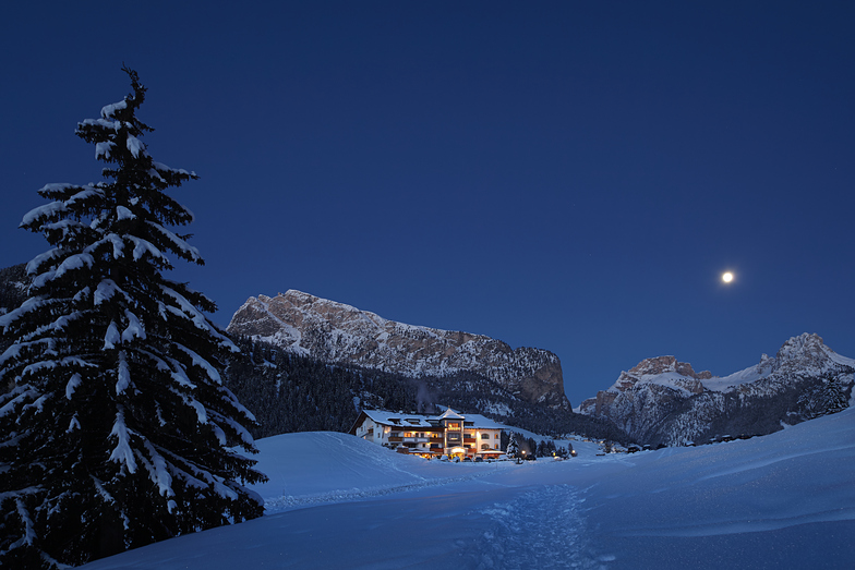
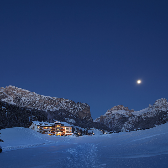
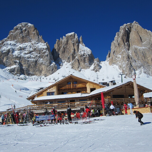
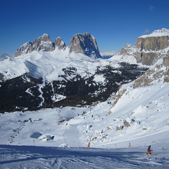
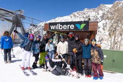
Ski lessons in Val Gardena
Book now


Val Gardena Weather (Next 3 days): The snow forecast for Val Gardena is: A moderate fall of snow, heaviest on Wed night. Temperatures will be below freezing (max -4°C on Fri afternoon, min -9°C on Wed night). Wind will be generally light.
Val Gardena Weather (Days 4-6): Light rain (total 2.0mm), mostly falling on Mon night. Freeze-thaw conditions (max 5°C on Mon afternoon, min -3°C on Sat afternoon). Wind will be generally light.
| Resort | Snow Depth | Temp. (°C) | Wind (km/h) | Weather | ||
|---|---|---|---|---|---|---|
| Top Lift: | 0.0 m | -6 | ||||
| Middle Lift: | -1 | |||||
| Bottom Lift: | 0.0 m | 5 |
Latest snow reports near Val Gardena:
Light snow reported from Rolle Pass Airport at 2083 metres elevation only 3 kms WNW of San Martino Di Castrozza Ski Resort from San Martino Di Castrozza
Light snow reported from Rolle Pass at 2083 metres elevation only 3 kms WNW of San Martino Di Castrozza Ski Resort from San Martino Di Castrozza

Wed 24 | Thursday 25 | Friday 26 | Saturday 27 | Sunday 28 | Monday 29 | Tuesday 30 | ||||||||||||||
PM | night | AM | PM | night | AM | PM | night | AM | PM | night | AM | PM | night | AM | PM | night | AM | PM | night | |
light snow | light snow | some clouds | light snow | light snow | light snow | light snow | snow shwrs | snow shwrs | light snow | light snow | cloudy | some clouds | some clouds | some clouds | some clouds | rain shwrs | some clouds | cloudy | some clouds | |
km/h | ||||||||||||||||||||
Snow map |  |  |  |  |  |  |  | |||||||||||||
1.0 | 4 | — | 1.0 | 1.0 | — | 2.0 | 1.0 | — | 1.0 | — | — | — | — | — | — | — | — | — | — | |
— | — | — | — | — | — | — | — | — | — | — | — | — | — | — | — | 2.0 | — | — | — | |
max°C | -6 | -7 | -8 | -5 | -6 | -6 | -4 | -5 | -4 | -2 | -2 | 0 | 3 | 2 | 4 | 5 | 4 | 5 | 5 | 3 |
min°C | -6 | -9 | -9 | -6 | -8 | -7 | -5 | -6 | -5 | -3 | -3 | -1 | 2 | 0 | 2 | 5 | 1 | 2 | 5 | 1 |
-8 | -12 | -9 | -9 | -11 | -11 | -8 | -10 | -9 | -8 | -7 | -5 | -1 | -3 | 0 | 3 | -2 | -1 | 2 | -2 | |
84 | 75 | 83 | 79 | 93 | 91 | 93 | 90 | 91 | 84 | 94 | 76 | 79 | 74 | 40 | 80 | 80 | 53 | 65 | 82 | |
1850 | 850 | 1650 | 1950 | 1100 | 1750 | 1950 | 1500 | 2000 | 2250 | 2100 | 2600 | 2900 | 2750 | 3150 | 3100 | 3000 | 3100 | 3050 | 2800 | |
— | — | 6:07 | — | — | 6:05 | — | — | 6:03 | — | — | 6:01 | — | — | 6:01 | — | — | 5:58 | — | — | |
— | 8:13 | — | — | 8:14 | — | — | 8:15 | — | — | 8:16 | — | — | 8:17 | — | — | 8:20 | — | — | 8:21 | |
A moderate fall of snow, heaviest on Wed night. Temperatures will be below freezing (max -4°C on Fri afternoon, min -9°C on Wed night). Wind will be generally light.
Light rain (total 2.0mm), mostly falling on Mon night. Freeze-thaw conditions (max 5°C on Mon afternoon, min -3°C on Sat afternoon). Wind will be generally light.
Latest snow reports near Val Gardena:
Light snow reported from Rolle Pass Airport at 2083 metres elevation only 3 kms WNW of San Martino Di Castrozza Ski Resort from San Martino Di Castrozza
Light snow reported from Rolle Pass at 2083 metres elevation only 3 kms WNW of San Martino Di Castrozza Ski Resort from San Martino Di Castrozza
| Top snow depth: | 0 cm |
|---|---|
| Bottom snow depth: | 0 cm |
| Fresh snowfall depth: | 17 cm |
| Last snowfall: | 23 Apr 2024 |
| Snow Alerts | Create Alert |
0.5 | Bluebird Powder days Fresh snow, mostly sunny, light wind. |
|---|---|
0.8 | Powder days Fresh snow, limited sun, any wind. |
0.6 | Bluebird days Average snow, mostly sunny, light wind. |
The above table gives the weather forecast for Val Gardena at the specific elevation of 2518 m. Our sophisticated weather models allow us to provide snow forecasts for the top, middle and bottom ski stations of Val Gardena. To access the weather forecasts for the other elevations, use the tab navigation above the table. For a wider view of the weather, check out the Weather Map of Italy.
Click here to read further information on freezing levels and how we forecast our temperatures.
Overall 4.2 Based on 31 votes and 23 reviews
Stayed at the Hotel Alpino Plan in Selva mid January this year and had a superb week's skiing. Snow was very late coming this year but the snow making was fantastic so pistes were in fabulous condition. We had clear blue sunny skies for four days and a few clouds high up on the other days so perfect visibility on largely uncrowded slopes, but very cold. Did the Sella Ronde clockwise in a morning. It is a vast area where it seemed you only needed to ski the same run twice to either get somewhere or because you enjoyed it so much you wanted to do it again. Some really long runs; we particularly liked Colfosco and Corvara. Runs coming back into Selva from St Cristinia side were tricky in the afternoon after the shade hit the mountain. Couldn't get to the Hidden Valley because of the lack of snow lower down but that was about the only negative thing in the week. Food and drink much cheaper than the 3 Valleys. Very little off-piste though; suited us, we are very competent geriatrics. We clocked up about 130 miles in the week with virtually no queues.
Peter Wilson from United Kingdom writes:
Stayed at the Hotel Alpino Plan in Selva mid January this year and had a superb week's skiing. Snow was very late coming this year but the snow making was fantastic so pistes were in fabulous condition. We had clear blue sunny skies for four days and a few clouds high up on the other days so perfect visibility on largely uncrowded slopes, but very cold. Did the Sella Ronde clockwise in a morning. It is a vast area where it seemed you only needed to ski the same run twice to either get somewhere or because you enjoyed it so much you wanted to do it again. Some really long runs; we particularly liked Colfosco and Corvara. Runs coming back into Selva from St Cristinia side were tricky in the afternoon after the shade hit the mountain. Couldn't get to the Hidden Valley because of the lack of snow lower down but that was about the only negative thing in the week. Food and drink much cheaper than the 3 Valleys. Very little off-piste though; suited us, we are very competent geriatrics. We clocked up about 130 miles in the week with virtually no queues.
The Val Gardena skiing weather widget is available to embed on external websites free of charge. It provides a daily summary of our Val Gardena snow forecast and current weather conditions. Simply go to the feed configuration page and follow the 3 simple steps to grab the custom html code snippet and paste it into your own site. You can choose the snow forecast elevation (summit, mid-mountain or bottom lift) and metric/imperial units for the snow forecast feed to suit your own website…. Click here to get the code.
View detailed snow forecast for Val Gardena at:
snow-forecast.com


 Nearest