
Ski Lessons by SkiBro
BOOK NOW
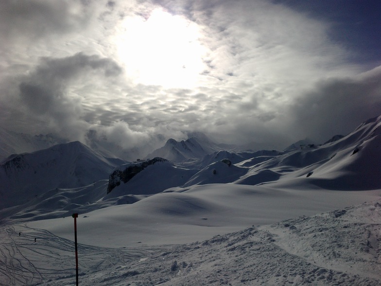
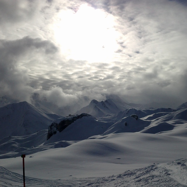
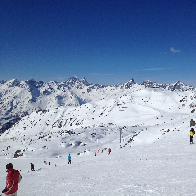
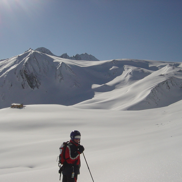
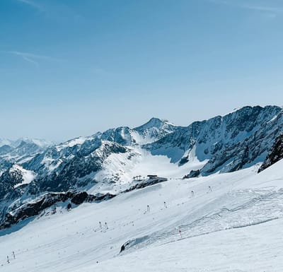
Ski lessons in Ischgl
Book now


Ischgl Weather (Next 3 days): The snow forecast for Ischgl is: Mostly dry. Freeze-thaw conditions (max 10°C on Tue afternoon, min 0°C on Sat night). Wind will be generally light.
Ischgl Weather (Days 4-6): Heavy rain (total 27.0mm), mainly falling Thu night. Becoming colder with a light covering of snow, mostly falling on Fri morning. Freeze-thaw conditions (max 10°C on Wed afternoon, min -1°C on Fri morning). Wind will be generally light.
| Resort | Snow Depth | Temp. (°C) | Wind (km/h) | Weather | ||
|---|---|---|---|---|---|---|
| Top Lift: | 1.4 m | -4 | ||||
| Middle Lift: | 1 | |||||
| Bottom Lift: | 0.3 m | 4 |
Latest snow reports near Ischgl:
Rain reported from Pitztaler Gletscher at 2848 metres elevation only 4 kms SSE of Pitztal Glacier but it is forecast cold enough for snow at higher elevations in the ski area from Pitztal Glacier
Light rain showers reported from Pitztaler Gletscher at 2848 metres elevation only 4 kms SSE of Pitztal Glacier but it is forecast cold enough for snow at higher elevations in the ski area from Pitztal Glacier

Sunday 28 | Monday 29 | Tuesday 30 | Wednesday 1 | Thursday 2 | Friday 3 | ||||||||||||||
night | AM | PM | night | AM | PM | night | AM | PM | night | AM | PM | night | AM | PM | night | AM | PM | night | |
cloudy | some clouds | some clouds | some clouds | some clouds | clear | clear | clear | cloudy | some clouds | some clouds | some clouds | light rain | light rain | light rain | light snow | mod. snow | light snow | light snow | |
km/h | |||||||||||||||||||
Snow map |  |  |  |  |  |  |  | ||||||||||||
— | — | — | — | — | — | — | — | — | — | — | — | — | — | — | 1.0 | 7 | 1.0 | 5 | |
— | — | — | — | — | — | — | — | — | — | — | — | 1.0 | 1.0 | 5 | 20 | — | — | — | |
max°C | 1 | 4 | 5 | 4 | 6 | 8 | 7 | 7 | 10 | 8 | 7 | 10 | 8 | 6 | 6 | 4 | 1 | 0 | -1 |
min°C | 0 | 1 | 5 | 2 | 3 | 8 | 3 | 5 | 10 | 4 | 5 | 9 | 4 | 5 | 5 | 2 | -1 | 0 | -2 |
-4 | -3 | 2 | -1 | 0 | 6 | 0 | 2 | 8 | 2 | 3 | 8 | 4 | 5 | 5 | 0 | -5 | -3 | -2 | |
81 | 77 | 77 | 69 | 31 | 46 | 71 | 61 | 47 | 76 | 59 | 46 | 73 | 82 | 84 | 98 | 97 | 89 | 97 | |
2100 | 2800 | 2900 | 2750 | 3100 | 3100 | 3000 | 3050 | 3300 | 3000 | 3000 | 3350 | 3050 | 2850 | 2950 | 2550 | 2050 | 2150 | 1850 | |
— | 6:07 | — | — | 6:05 | — | — | 6:03 | — | — | 6:01 | — | — | 6:01 | — | — | 5:58 | — | — | |
— | — | — | 8:24 | — | — | 8:27 | — | — | 8:28 | — | — | 8:29 | — | — | 8:30 | — | — | 8:31 | |
Mostly dry. Freeze-thaw conditions (max 10°C on Tue afternoon, min 0°C on Sat night). Wind will be generally light.
Heavy rain (total 27.0mm), mainly falling Thu night. Becoming colder with a light covering of snow, mostly falling on Fri morning. Freeze-thaw conditions (max 10°C on Wed afternoon, min -1°C on Fri morning). Wind will be generally light.
Latest snow reports near Ischgl:
Rain reported from Pitztaler Gletscher at 2848 metres elevation only 4 kms SSE of Pitztal Glacier but it is forecast cold enough for snow at higher elevations in the ski area from Pitztal Glacier
Light rain showers reported from Pitztaler Gletscher at 2848 metres elevation only 4 kms SSE of Pitztal Glacier but it is forecast cold enough for snow at higher elevations in the ski area from Pitztal Glacier
| Top snow depth: | 140 cm |
|---|---|
| Bottom snow depth: | 30 cm |
| Fresh snowfall depth: | — |
| Last snowfall: | 24 Apr 2024 |
| Snow Alerts | Create Alert |
0.3 | Bluebird Powder days Fresh snow, mostly sunny, light wind. |
|---|---|
0.8 | Powder days Fresh snow, limited sun, any wind. |
0.1 | Bluebird days Average snow, mostly sunny, light wind. |
The above table gives the weather forecast for Ischgl at the specific elevation of 2126 m. Our sophisticated weather models allow us to provide snow forecasts for the top, middle and bottom ski stations of Ischgl. To access the weather forecasts for the other elevations, use the tab navigation above the table. For a wider view of the weather, check out the Weather Map of Austria.
Click here to read further information on freezing levels and how we forecast our temperatures.
Overall 4.2 Based on 47 votes and 35 reviews
Ultra good off road tracks, very good snow conditions, just downhill from everywhere. Perfect for snow freaks!
Snow Brothers from Bulgaria writes:
Ultra good off road tracks, very good snow conditions, just downhill from everywhere. Perfect for snow freaks!
The Ischgl skiing weather widget is available to embed on external websites free of charge. It provides a daily summary of our Ischgl snow forecast and current weather conditions. Simply go to the feed configuration page and follow the 3 simple steps to grab the custom html code snippet and paste it into your own site. You can choose the snow forecast elevation (summit, mid-mountain or bottom lift) and metric/imperial units for the snow forecast feed to suit your own website…. Click here to get the code.
View detailed snow forecast for Ischgl at:
snow-forecast.com


 Nearest