
Europe Weekly Snow Roundup #319
Weekly Snow News for Europe, updated 18 June 2026: Alpine glaciers freshen with new snow as Tignes readies to rejoin Europe's summer ski line-up.

Next 3 days weather summary:Moderate rain (total 11.0mm), heaviest on Sat night. Very mild (max 18°C on Sat afternoon, min 12°C on Thu night). Wind will be generally light. | Days 4-6 weather summary:Heavy rain (total 41.0mm), heaviest during Sun afternoon. Very mild (max 17°C on Sun afternoon, min 9°C on Tue night). Wind will be generally light. | |||||||||||||||||
Thursday 25 | Friday 26 | Saturday 27 | Sunday 28 | Monday 29 | Tuesday 30 | |||||||||||||
AM | PM | night | AM | PM | night | AM | PM | night | AM | PM | night | AM | PM | night | AM | PM | night | |
clear | some clouds | rain shwrs | clear | cloudy | rain shwrs | clear | t-storm risk | rain shwrs | t-storm risk | t-storm risk | mod. rain | t-storm risk | mod. rain | rain shwrs | some clouds | t-storm risk | rain shwrs | |
km/h | ||||||||||||||||||
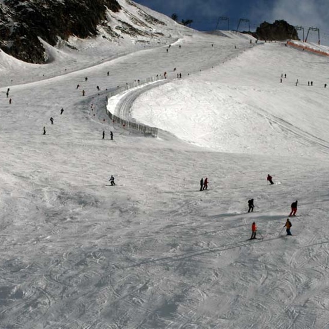
Snow map |  |  |  |  |  |  | ||||||||||||
— | — | — | — | — | — | — | — | — | — | — | — | — | — | — | — | — | — | |
mm | — | — | 1 | — | — | 2 | — | 3 | 5 | 2 | 7 | 8 | 3 | 8 | 4 | — | 2 | 7 |
max °C | 14 | 17 | 15 | 15 | 17 | 16 | 16 | 18 | 15 | 16 | 17 | 13 | 13 | 12 | 11 | 14 | 16 | 13 |
min °C | 13 | 16 | 12 | 13 | 17 | 13 | 14 | 16 | 14 | 14 | 13 | 11 | 11 | 12 | 11 | 12 | 14 | 9 |
chill °C | 13 | 16 | 12 | 13 | 17 | 13 | 14 | 16 | 14 | 14 | 13 | 11 | 11 | 12 | 10 | 12 | 14 | 9 |
Humid % | 52 | 54 | 75 | 64 | 62 | 77 | 67 | 67 | 71 | 64 | 81 | 71 | 77 | 82 | 69 | 61 | 68 | 79 |
Freeze m | 4300 | 4600 | 4450 | 4400 | 4600 | 4550 | 4450 | 4650 | 4650 | 4550 | 4500 | 4500 | 4250 | 4250 | 4350 | 4250 | 4500 | 4200 |
5:18 | — | — | 5:18 | — | — | 5:18 | — | — | 5:18 | — | — | 5:20 | — | — | 5:20 | — | — | |
— | — | 9:12 | — | — | 9:12 | — | — | 9:12 | — | — | 9:12 | — | — | 9:12 | — | — | 9:12 | |
Go pro and carve into:
Avalanche information: European Avalanche Warning Services (EAWS)
Latest snow reports near Hintertux:
| Top snow depth: | 305 cm |
|---|---|
| Bottom snow depth: | — |
| Fresh snowfall depth: | — |
| Last snowfall: | 11 Jun 2026 |
| Snow Alerts | Create Alert |
0.0 | Bluebird Powder days Fresh snow, mostly sunny, light wind. |
|---|---|
0.0 | Powder days Fresh snow, limited sun, any wind. |
0.0 | Bluebird days Average snow, mostly sunny, light wind. |
The above table gives the weather forecast for Hintertux at the specific elevation of 2375 m. Our sophisticated weather models allow us to provide snow forecasts for the top, middle and bottom ski stations of Hintertux. To access the weather forecasts for the other elevations, use the tab navigation above the table. For a wider view of the weather, check out the Weather Map of Austria.
Click here to read further information on freezing levels and how we forecast our temperatures.
Overall 4.2 Based on 29 votes and 11 reviews
After many years, back in Hintertux for summer skiing! Fantastic snow and magnificent scenery, can only recommend to ski in June, particularly this year 2020. It is amazing to feel again the skis under your feet and enjoy the slopes from 3200 down to 2600m...
Massimo Anselmi from Italy writes:
After many years, back in Hintertux for summer skiing! Fantastic snow and magnificent scenery, can only recommend to ski in June, particularly this year 2020. It is amazing to feel again the skis under your feet and enjoy the slopes from 3200 down to 2600m...


 Nearest